|
| Talking Bridges With The CCC CEO |
Wendy Northcross is the CEO of the Cape Cod Chamber Of Commerce. She's been down with COC since 1997, and has been running the ship for some time now. She is on the board of so many things that I don't even feel like listing them all, but some of the better ones include the JFK Museum and the Cooperative Bank Of Cape Cod.
She is one of the state and maybe the country's better tourism experts, and she wields a lot of power. If you're a little girl and still think women can only be nurses and Mashpee Ballet dancers, check out the swagger that Ms. Northcross carries around Cape Cod. When she speaks, heads turn.
Speaking of which....
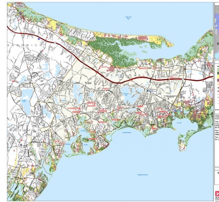
She is also one of the weightier voices calling for a third bridge. That bridge may be a toll bridge. The good news is that it may ease traffic a bit. The bad news is that you'll be paying for it every time you drive across the bridge for the rest of eternity.
I sent Wendy a list of questions in the email, and she was cool enough to get them back to me in the same day. If you are upset about me not challenging her on certain points, hate the game and not the player.
Her answers are exactly as she mailed them to me, and were not altered. I switched the question order around on publishing to line up certain pictures I have.
Here we go:
- Jessica Allen: Tell us about the plans being discussed about building a third bridge over the Cape Cod Canal.....
Wendy Northcross: Because of the condition of the 80 year old canal bridges, and the now chronic maintenance cycle we find ourselves facing almost annually, community and state officials began to ask about the true safety of the bridges and what was the future plan?
The responses to our questions were “there is no long range plan” – and “there are no government resources to do anything like a new bridge for at least 20 to 30 years or more.”
So the discussion turned to the questions “how long can we continue to depend upon the bridges to carry freight, and for us to safely traverse the canal - how long can Cape Codders continue to suffer significant travel delays during shoulder-season maintenance on the bridges?”
To that end, community leaders and state officials have had meaningful conversations with a broad base of businesses and residents about their tolerance level for the current state of the bridges vs. a plan for the future. Fortunately, we now have a plan that everyone can look at and decide if it holds merit.
- If we built a third bridge that was independent of the current bridges, what would it be named?
I don’t know…. maybe “new bridge?”
- Is there no other way to get this bridge built without a permatax on commuters?
Government officials have indicated that there are no federal or state resources available to build any new crossing infrastructure for at least 20 to 30 years. The question is, how long do Cape Codders want to wait and what does waiting cost?

-
Why should Cape Codders who don't have yachts or LNG interests pay tolls for a bridge over a Canal that they don't want, need, or benefit from?
The current concept is that only users of the new bridge would pay – the Bourne Bridge would be available at no charge. I believe that most Cape Codders well understand the need for stable infrastructure over which their goods and services and customers can pass.
- Should someone making $9 an hour who has to cross the bridge twice to get to and from his six hour shift be forced to give almost 20% of his day's pay to tolls? Will there be hardship exemptions to tolling?
The beauty of transponder technology is that high frequency users can be identified and calculated to pay at a different rate (or potentially no rate if they are an immediate neighbor). Remember, in this current concept, the Bourne Bridge – 2 miles up the road, remains free.
- If we feel that many New Yorkers will balk at the prospect of paying a toll request from their Barnstable vacation the previous summer, and since we all know the tolls will never go away, at what point in history would the bridge be paid for solely by taxing tourists?
If a guest does not have the money to pay a toll, they are very unlikely to be visiting in the first place.
- In the event that the state says there are going to be temporary tolls and they instead make them permanent, can you get Randy Hunt or Bill Keating to insert some date or language into the bill now that allows us to sue the state to stop the tolls once the bridge is paid for?
The financial analysis will reveal the return on investment levels recommended to put this project out to a public/private partnership model of ownership.
- Would a new bridge substantially decrease the time we'd need to evacuate Cape Cod in an emergency?
It should give us more options.
- Former clerk at the Market Basket playing urban planner here.... why not break off an off-ramp off of Route 25 at the Ingersoll Bend, while also breaking off an offramp from Route 3 through Bournedale.... both off-ramps form a "Y" and meet a new road, which feeds the third bridge, around Barlow's Clam Shack...... the third bridge enters the military reservation, where another Y breaks traffic onto Route 6 and Route 28 somewhere? Short of widening Routes 3, 6, 25, and 28, it seems like the only way to actually reduce traffic.
MA DOT traffic engineers, using the traffic counts on the key roads, and looking at land ownership vs. the cost of land takings, and using existing roadways versus building extensive new roadways laid out a variety of scenarios – and then estimated costs on all of them. And yes, some were very expensive without yielding larger increases in efficiency and safety.

- If the short answer to the above question is "one billion dollars," the rebuttal is "We're going to have a permanent toll in place long after the bridge is paid for, why not build a hyper-expensive bridge that actually does lessen gridlock?" If it's going to cost me $10 a day in tolls to commute 2 miles to work for the rest of my life, I want to only know about gridlock in an abstract sense.
One of the questions you should have asked first is “what is the capacity of the roadway vs. the bridges?” The answer is that the bridges have much less capacity of cars per hour than the current road system, and if we give ourselves some shoulder room and separate the travel lanes – we’ll have a safer and more streamlined flow – reducing gridlock.
Fortunately for us, our state traffic engineers have found a scenario that bears further vetting based on creating safer and more efficient travel at a cost that bears consideration.
- I almost feel badly asking you this, but has anyone actually ever really seriously honestly looked into maybe building a tunnel? If so, roughly where were they thinking of putting it? Will permit decals be sold?
Yes – and we have been told and it is far more expensive. Although I do think most Cape Codders already have the decal!
- If the villages of Bournedale, Sagamore Beach, and Buzzards Bay were to secede from both Bourne and Barnstable County, could we sue for a share of the loot from the toll bridge? We are the ones who do nearly 100% of the suffering with traffic, and we benefit the least from bridges.
I liken the bridge flow to a clot in a blood vessel. One small clot affects the entire human body. Our narrow bridges affect the entire Cape’s flow and thus its well being.
- All of those bridges should be lit at night, like the Zakim Bridge. I'd do each one in a different color. What other vacation destination has THAT?
Nice idea.
- How long can we expect the current bridges to hold up? Won't the twin bridge idea be a bit heavy for all that Great Depression concrete?
A new bridge would be (as currently proposed) about 15’ from the existing bridge on all new footings and made of materials that do not require painting. A new bridge could handle diverted traffic when we needed to fix the Sagamore – allowing the old bridge to be taken off-line for faster and deeper repairs.
- Are there any plans to erase that ridiculous on-ramp merge at the Christmas Tree Shop?
With the proposed plan – this lane would get its own travel lane outbound over the old bridge. Between now and new bridge completion – there are some things we could try – but Bourne residents would need to be up for the experiment of restricting use of the onramp during a peak travel day.
- Imagine that you can wipe away Main Street in Buzzards Bay... what would you lay down in place of it?
Main Street in Buzzards Bay has a great deal of character and potential opportunity as well as a bright future. I see a mix of uses with residential places within walking distance of shopping, work, recreation and access to rail.
***************************************************************************************************************