Showing posts with label hyannis port. Show all posts

Wednesday, April 27, 2016

Chic-Fil-A Approved For Hyannis

Not to be outdone by the arrival of Sonic onto the South Coast, Cape Cod is importing a national heavy-hitter for a trial run in our local fast food universe.

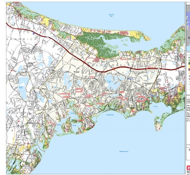
Chic-Fil-A gained approval from the Cape Cod Commission to open up a drive-thru/eat-in restaurant in Hyannis. The franchise will be will be Chickening Out at the corner of Enterprise Road and Iyannough Road (Route 132). The area was previously overflow parking for the Cape Cod Mall.

Chic-Fil-A (pronounced: "chick filet") is a Georgia-based 1400 restaurant chain which specializes in Chicken. Unlike most fast food joints, I didn't see a cheeseburger on their menu. They use Waffle Fries instead of regular fries. They put pickles on chicken sandwiches, a distinctly Southern thing which I approve of. They also have a chicken-dominated breakfast menu.

I have never seen one of their commercials, so I can't say if their mascot is a clown or a king or a little red-haired girl or even a Kentucky Colonel. If my girlfriend is correct, their commercials are the ones where a cow bothers people while holding a sign that says "EATZ MORE CHICKEN."

Many people only know Chic-Fil-A via their hard-line stance on opposing all things Gay. “To glorify God by being a faithful steward of all that is entrusted to us and to have a positive influence on all who come into contact with Chick-fil-A,” is the chain’s mission statement. Mumbles Menino famously banned them from Boston in 2012 or so. They only use heterosexual chickens for their sandwiches.

Local reactions have been mixed, at least from the section of the community that we sampled. "Praise be to Jesus," said Osterville interior designer Jeff Nonesuch. "I've been searching high and low for a less gay-friendly chicken sandwich." 

However, as Hyannis Port retiree (and, she added, former Southerner) Anne Teechikfila said, "I'd sooner hunt and eat seagulls, and that's before you factor in Chic-Fil-A's odious bigotry."

Chic-Fil-A branches are closed on Sundays, which should hit them in the purse in an area of Massachusetts with about a 75 day peak season.

Due to mitigation costs (mostly traffic), the place may lay an egg early if they take off too many peak business days. The Cape Cod Times says that they will have to sell over 81,000 of their $3.49 basic chicken sandwiches just to pay off their traffic mitigation costs.

I do not believe that they will be open by July 14th, Cow Appreciation Day. That's a shame, because you can eat a free meal at any Chic-Fil-A on Cow Appreciation Day, provided that you arrive in the restaurant dressed up as a cow.

We'll let you know when they post their Opening Day date.


Saturday, September 19, 2015

Barnstable Hurricane Information


Barnstable is in a position not unlike that which Germany faced in the World Wars. They have a two front battle going on if a hurricane arrives.

We have two maps from FEMA to check out today. The map above is a Hurricane Inundation map, and it depicts storm surge from a direct hit hurricane visiting Barnstable at mean high tide. It also shows what sort of storm would be needed to soak certain regions, which we'll get to in a minute.

The map is from the combined efforts of FEMA, MEMA, NOAA and the NHC. They use the funny-weatherman-titled SLOSH model of storm surge estimation. They do not depict freshwater flooding.

The colors relate to the Saffir-Simpson scale of hurricane intensity, and break down like this:

Light Green = Category 1 hurricane. Hurricane Gloria was one of these, and the offshore Halloween Gale was, too. Although not a tropical system, the Blizzard of '78 did Cat. 1-style damage.

Dark Green = Category 2 hurricane. Hurricane Bob was one of these.

Yellow = Category 3 hurricane. We've only had five of these hit New England since the Other Man arrived in 1620, the most recent being Hurricane Carol in 1954.

Pink = Category 4 hurricane. We've had one in recorded New England history, and it struck in 1635.

Flesh = One Hundred Year FEMA Food Zone. This is the "100 year storm" you hear people speak of, but you have to go pre-Colombian to find them ("going pre-Colombian" means using salt marsh soil samples to look for sand layering associated with large hurricanes). New England has had storms in the Category 4+ level in the 1100s, the 1300s, and the 1400s.

Sorry about Flesh, but my knowledge of color names was and continues to be heavily influenced by whoever was in charge at Crayola in the 1970s.


We shall leave the street-by-street analysis to the reader, who can use the links I'll throw in at the end of the article to zoom in on their own house if it suits them.

Note that you don't need to be in a shaded area to get yourself a quick and sudden Ending. You can have a tree fall on you, have your car washed out in street flooding, step on a downed power line, get purged by looters, enjoy the Robespierre treatment from flying shingles, be summarily executed by National Guardsmen, or even stumble into a sharknado. There's no shortage of ways for you to get Left.

With that in mind, we now present to you the down-there-somewhere Evacuation Zone map.

Remember, you don't HAVE to leave when 5-0 tells you to. Also remember that the cop you read the Constitution to before the storm may be the one who has to fish you out of the drink when the ship hits the fan.

The E-map is easier to read, as it is made up of only two colors.

Red = Get Out.

Yellow = Get the f*** out.

Notice that Route 28 washes out in a few spots.

It's a big town, we break the maps down a bit to make it easier for you

Egad! The Hyannis Port Compound could get soaked!


Hurricane Inundation Maps

Evacuation Maps

Worst Hurricanes To Hit New England

List of all hurricanes to hit New England