One of the common local myths circulating around any town in Massachusetts comes to life every time someone says "No town in Massachusetts has more liquor stores than (insert his town here)." I have heard the term ascribed to Provincetown, Worcester, Amherst, Winthrop, Scituate, Clinton, Bridgewater, Marshfield and a dozen other towns. The easier to swallow version of this myth is the same quote, but on a per-person basis.
Opinions vary wildly, and this is probably one of those articles where I'll get told to eff off in the comments section. I'm good with that. I will say that there are different lists with different criteria.
Boston generally wins
Drunkest City In America. That title is shouldered by a heavily Irish population base, an unmatched pile of college kids, a nice flow of business travel, long suffering Red Sox fans, a solid nightlife industry and did I mention the Irish?
Roadsnacks, in an influential 2015 study using much of the same criteria as me (but using other factors like Package Stores, Divorce Rates and Twitter references), came up with a Top Ten of:
Plymouth
Scituate
Salem
Walpole
Adams
West Yarmouth
West Bridgewater
Andover
Hudson
Newburyport
WCVB, using a self-reporting technique of "Has More Than Five Drinks Per Session" and going by counties, had:
Hampshire County
Nantucket County
Sufflok County
Plymouth County
Barnstable County
Dukes County
Bristol County
Essex County
Franklin County
Middlesex County
Norfolk County
Worcester County
Berkshire County
Hampden County
They had Hampshire standing alone, Nantucket and Suffolk taking Place and Show, a glut with the same ranking (on that list, it runs from Barnstable to Norfolk Counties with each holding the same score) and the non-UMass western regions being a bit drier.
There are dry towns in the state where no Licka gets sold. Those towns remind me of the Civil War story of the Irish soldier slipping off the march into a dry-town inn and asking the innkeeper for
"a glass of water, with a wee bit of the Creature added, unbeknownst to you or myself."
I was going to try to find out Liquor Stores Per Town, but that seemed like too much work. There exists no easily-Googled database. I'd have to Google up which towns have how many liquor stores, then divide or something by how many people live in each town. A good method, granted, but very work-intensive for a sunny Saturday morning in May. There would also be a large Margin Of Error.
What I shall instead do is use this map of
2011 liquor licenses per town from the Boston Business Journal. Old numbers, obsolete, but providing insight. I can then cross-reference my numbers with the population figures of the town in question, and... Voila! We have a new stat, one which I will name once I think of something catchy.
(Editor's Note: Or he can save 12 hours of math by just using this chart)
This map is just for places you can drink IN. Take-out drinking from packie stores isn't accounted for on this list.
I may as well make a few guesses here before I start looking at the numbers, thus becoming like more enlightened than you. Once I have had a look, I'm disqualified from guessing. You'll catch up to my enlightenment once you read the article, but by that time, I'll be looking up some other new
ish, and the cycle will begin anew.
I'm thinking that "the Irish Riviera" will miss out on her rightful title, mostly because "Cape Cod" is a touristy place and will have her numbers padded by people on vacation. I have no doubt that New Beige and Fall-down River carry the "South Coast" on their backs, but if places like Acushnet and Mattapoisett represent hard, the region may be able to take down a contender.
Anyhow, here are the towns from our region and their ranking on the list. The criteria is residets-per-liquor license. If I had package store numbers, these rankings might be radically different.
Rank.... Town.... Residents... Licenses... Residents per License
1
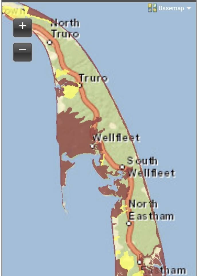
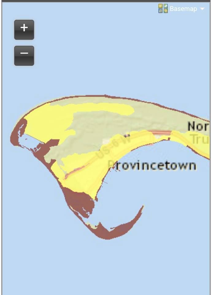
PROVINCETOWN
3,390
62
55
Provincetown takes the title. At least one publication that I saw summed it up as well as I can... "Tourist haven in the summer... desolate, isolated winters."
"55 residents per license" means that, if every single man, woman, child and baby in Provincetown went out for a drink to a local bar, each bar would only have 55 people in it... less, once you factor out bar employees who live in Provincetown,
By contrast.... if a similar event happened in Duxbury, there would be 1444 people in each bar. If it happened in Boxford (ranked #318 and last in the state), there would be 8600 people in each bar.
3
WELLFLEET
2,748
26
106
5
OAK BLUFFS
3,731
29
129
6
EDGARTOWN
3,920
30
131
9
NANTUCKET
10,531
73
144
10
AQUINNAH
354
2
177
14
TRURO
2,134
10
213
16
ORLEANS
6,315
27
234
21
CHATHAM
6,726
26
259
The Cape represents hard, although runner-up towns like Great Barrington could complain about tourists and summer people swelling the numbers. If you assume that summer people double the population of Chatham, and that there are also a disproportionate amount of hotels filling up with families, you might have to triple or even quadruple the licenses-per-town rankings. All of a sudden, these supposedly hard-drinking Cape towns start tumbling to 150th in the state.
Provincetown is immune to that. Tripling their RPL only moves them to 3rd in the state.
Monroe- ranked second in the state, just above Wellfleet- has 1 license in a town with 96 residents. By contrast, the Mayberry hometown (may have been County, or both town and county) of Andy Griffith fame had 5600 residents... in 1968.
27
DENNIS
15,473
53
292
34
TISBURY
3,805
11
346
40
BARNSTABLE
46,738
112
417
42
YARMOUTH
24,010
56
429
43
FALMOUTH
33,247
76
437
44
SEEKONK
13,593
31
438
46
HARWICH
12,387
28
442
The pattern continues through the Top 50.
Let's pause right here to tip our glasses to the western part of the state. While I'm only showing EMass towns, rest assured that about 90% of the towns that I'm leaving out are in the Berkshires.
"Mountain man/mountain man/drinks like a fish/and he hits like a ram."
Both of the islands assert themselves mightily. Island people are sort of kin to mountain people. Both are a bit strange. It's a different sort of strangeness, but it shares a common intensity. They're both about equally lost in a city.
54
FOXBOROUGH
16,298
34
479
58
EASTHAM
5,445
11
495
59
BREWSTER
10,023
20
501
60
HULL
11,067
22
503
64
WEST BRIDGEWATER
6,679
13
514
67
PLYMOUTH
55,188
103
536
68
MATTAPOISETT
6,447
12
537
71
COHASSET
7,182
13
552
74
FAIRHAVEN
16,124
29
556
75
WAREHAM
21,154
38
557
Rankings 50-75 have a few trends jumping out at me.
1) The South Coast is beginning to assert herself. Props to Seekonk for sliding into the top 50. Mattapoisett, Fairhaven and Wareham also step up to the bar by the time that #75 is called.
2) The South Shore and especially the Irish Riviera took awhile to show themselves. Scituate is nowhere to be seen.
3) I wonder if (and how much) Foxboro's numbers are pushed up by the Patriots being in town. I don't get out to Foxy Bro as much as I used to, and am not sure what sort of effect 8 home games (and X playoff games any year) has on the town's drinking establishments. They say that businesses on Cape Cod are made/broken by 8-12 weekends a year. I wonder how much 8-12 weekend days a year is worth in Hooch Sold?
78
BOURNE
19,023
33
576
80
BOSTON
599,351
1,033
580
82
KINGSTON
12,339
21
588
87
NEW BEDFORD
91,849
150
612
Cape Cod is starting to fade out... not because we don't drink hard enough, but because we've exhausted most of our towns earlier in the rankings.
Bourne does drink harder than Boston, something I'm a bit shocked to see. If Boston had better beaches, they might be able fight their way up the list a bit.
Note that many of Boston's Irish fled Boston in the 1970s, driving up the numbers in the otherwise sleepy Irish Riviera.
New Beddy closes out our presence in the top 100. 30% of the top 100 are towns in our coverage area.
108
MASHPEE
14,261
21
679
109
RAYNHAM
13,641
20
682
111
OTIS
1,394
2
697
112
HINGHAM
22,394
32
700
119
AVON
4,303
6
717
Hey! That town of Otis is in Western Mass, and it's not the rotary in Bourne.
My people in Raynham tell me there is great happiness that they conquered all but one Bridgewater.
In Massachusetts, the Avon lady is a bartender.
We forgot SWANSEA, they're 128th
131
MARION
5,217
7
745
132
SANDWICH
20,255
27
750
140
ABINGTON
16,365
21
779
141
BRAINTREE
34,422
44
782
145
QUINCY
91,622
116
790
158
FALL RIVER
90,905
111
819
160
MANSFIELD
22,993
28
821
162
WALPOLE
23,086
28
825
172
WRENTHAM
11,116
13
855
177
ACUSHNET
10,443
12
870
179
NORTON
19,222
22
874
183
ROCKLAND
17,780
20
889
184
DARTMOUTH
31,241
35
893
186
STOUGHTON
26,951
30
898
190
MARSHFIELD
24,576
27
910
192
EAST BRIDGEWATER
13,879
15
925
193
PEMBROKE
18,595
20
930
195
NORWELL
10,271
11
934
198
SCITUATE
17,881
19
941
199
WESTPORT
15,136
16
946
Fall River is pretty much right in the middle of the rankings. New Bedford and Fall River, which I thought would carry the South Coast, ranked a modest 87 and 158 respectively. Seekonk (44), Mattapoisett (60 something) and the Wareham/Fairhaven team (74 and 75) all represented harder.
At least 10% of the liquor licenses in Wareham are held by places that only serve breakfast. (Your Hometown Here) may have more or less, I just wanted to float that stat out there.
Sandwich finishes off the Cape.
Fall River trails Quincy, which is the same size but more Irish-heavy. The Squantum neighborhood of Quincy is about as Irish as it gets.
If a bar gets their license revoked in Scituate, this thought-she'd-be-ranked-higher Irish Riviera superheavyweight would fall out of the Top 200. She'd rank below hard-living Oakham (pop. 953, 2 licenses) in the state
205
REHOBOTH
11,484
12
957
206
SOMERSET
18,268
19
961
209
TAUNTON
55,783
57
979
219
NORTH ATTLEBORO
27,907
27
1,034
223
MIDDLEBORO
21,245
20
1,062
224
WEYMOUTH
53,272
50
1,065
225
HANOVER
13,966
13
1,074
230
HALIFAX
7,700
7
1,100
233
HANSON
9,956
9
1,106
234
BRIDGEWATER
25,514
23
1,109
243
EASTON
22,969
20
1,148
247
ATTLEBORO
43,113
37
1,165
248
LAKEVILLE
10,587
9
1,176
249
HOLBROOK
10,663
9
1,185
250
WHITMAN
14,385
12
1,199
You'd think a town known as "Hangover" would be higher than 225, but No.
If Taunton gets a casino, they could jump up a lot of spots. Considering Boston is 80, a jump into the Top 10 may be a lot to ask for.
Bridgewater, which has the University, is the lowest-ranked Bridgewater. East and West pub much harder.
252
FRANKLIN
31,381
25
1,255
253
BROCKTON
93,092
74
1,258
259
LYNN
87,122
67
1,300
270
DUXBURY
14,444
10
1,444
272
FREETOWN
8,935
6
1,489
300
BERKLEY
6,433
3
2,144
304
CARVER
11,547
5
2,309
311
DIGHTON
6,748
2
3,374
315
ROCHESTER
5,218
1
5,218
The infamous "City of Sin" ranks an effete 259.
If the Gurnet Inn was still open, sleepy Duxbury would be ahead of Brockton and Lynn.
Rochester and Dighton hold down the South Coast, and Lakeville is the more "Let's go out" of the Freetown-Lakeville conglomerate.
Duxbury and Sandwich ranked similarly, something our staff predicted. Both towns are sort of the Rich People Conscience of either Cape Cod or the South Shore (I'm told by our Fairhaven editor that Dartmouth fills a similar role on the South Coast). Granted, Sandwich is about twice as pubby as Duxbury, but the Cape is sort of off the scale due to summer tourism.
Shame on you, Rochester!
Here's a quick region-by-region tally:
CAPE COD
Provincetown
Wellfleet
Nantucket
Martha's Vineyard
Truro
Orleans
Chatham
Dennis
Barnstable
Yarmouth
Falmouth
Harwich
Eastham
Brewster
Bourne
Mashpee
Sandwich
SOUTH COAST
Mattapoisett
Fairhaven
Wareham
New Bedford
Marion
Fall River
Acushnet
Dartmouth
Westport
Freetown
Rochester
INTERIOR BRISTOL COUNTY
Seekonk
Raynham
Mansfield
Norton
Rehoboth
Somerset
Taunton
North Attleboro
Easton
Attleboro
Berkley
Dighton
INTERIOR PLYMOUTH COUNTY
West Bridgewater
Abington
Rockland
East Bridgewater
Pembroke
Norwell
Middleboro
Halifax
Hanover
Hanson
Bridgewater
Lakeville
Whitman
Brockton
Carver
THE IRISH RIVIERA
Hull
Plymouth
Cohasset
Kingston
Hingham
Quincy
Marshfield
Scituate
Weymouth
Duxbury
 |
| Necessary research.... |