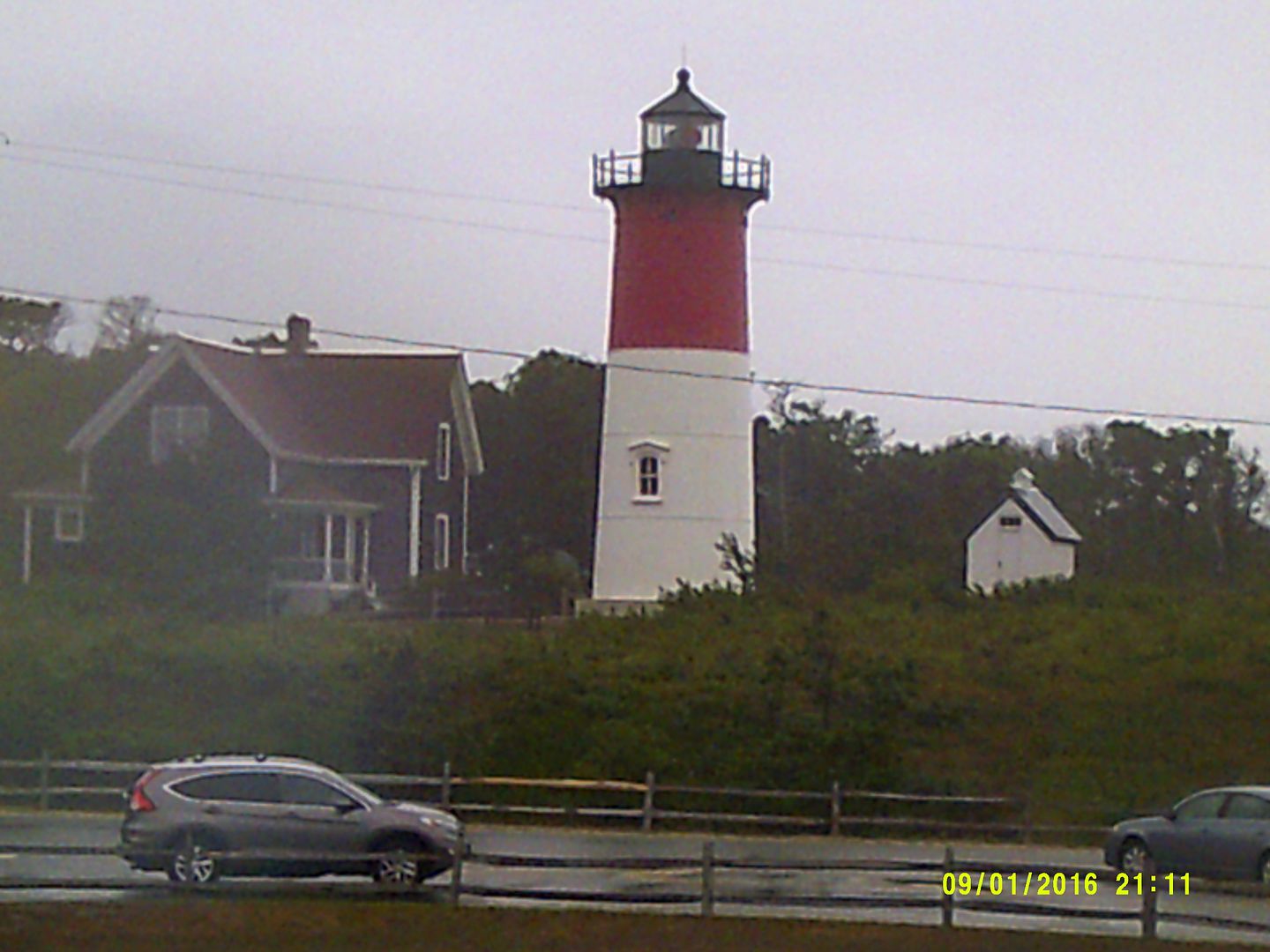
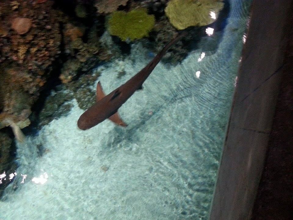
The coast of Massachusetts has been home to a burgeoning Great White Shark population for a number of years. If you're just finding this out now, I apologize for being the bearer of bad news.
Anyone who even wades into the ocean should want to know how many finned nightmares are swimming around offshore. People who love sharks or who just have a general interest in how nature moves along may also ponder the question now and then.
Are you alive right now because thousands of sharks off of every beach ignored you? Is seeing a shark akin to winning the Powerball while being struck by lightning as you read the Qur'an? Is the answer in the middle somewhere?
While it's impossible to tell how many sharks we have overall with our present technology, you can use certain tricks to get an idea of at least Relative Activity between beaches.
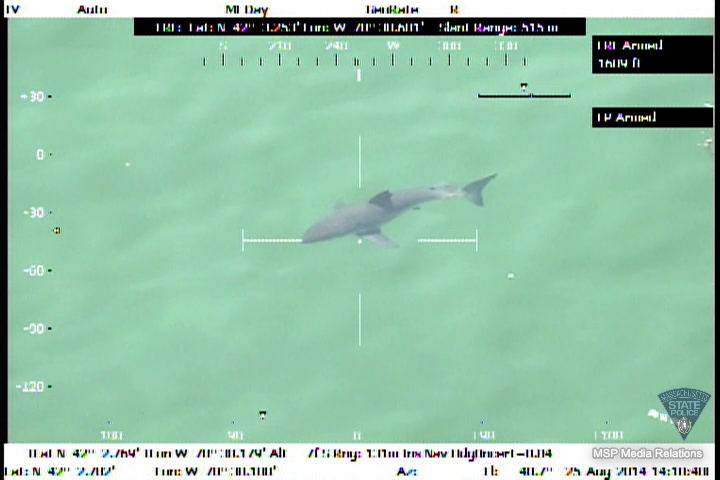
Dr. Gregory Skomal is in this column as much as I am, but he does very important work. He's that guy who you see on the Discovery channel, jabbing harpoons into sharks. He's not hunting, though, just putting tags on them. He has various sorts of tags for Great White Sharks. Some can be tracked from space as the shark moves around. Others pop off the shark, float to the surface, and are gathered by fishermen/returned to scientists for data collection.
The harder Dr. Skomal works, the larger the data pool gets. The payoff favors the scientists at first, but it soon grows large enough that we regular people can almost score it like baseball standings or the presidential primaries.
I can do it right now. Chatham wins the Outer Cape in a rout. Wellfleet and Truro have a nailbiter going on the Bayside Cape, with the winner being dependent on how you score the game. Plymouth has a slight lead over Duxbury for the South Shore championship, while Martha's Vineyard owns a run from Buzzards Bay through Vineyard Sound.
They have a fun way of scoring these totals. One of those tags they use on sharks can be read by various receivers that are floating around various spots off of the Massachusetts coast. Over time, they can get a good idea of which sharks go where. They don't get all of the sharks, but they do gain valuable insight.
They (and we) use two numbers. One of them = "How many tagged sharks does a particular beach see every year? The other one is "How many total readings of tagged sharks does each beach get?" You end up with "We had X amount of visits by Y amount of sharks."
I'm going to try to make my own graphic for this, as it could be problematic if I steal
the one from the Cape Cod Times. However, I can give you the numbers I have right now:
Boston: 22 appearances by 1 Great White Shark
Cape Ann: 26 appearances by 3 sharks
Massachusetts Bay: 7/1
Scituate: 37/3
Duxbury: 74/2
Plymouth: 104/4
Buzzards Bay (body of water): 3/1
Vineyard Sound: 18:2 (You'd think that Amity would own this contest, but No)
Provincetown: 902/8
Truro: 4748/20
Wellfleet: 6564/5
Orleans: 4367/23
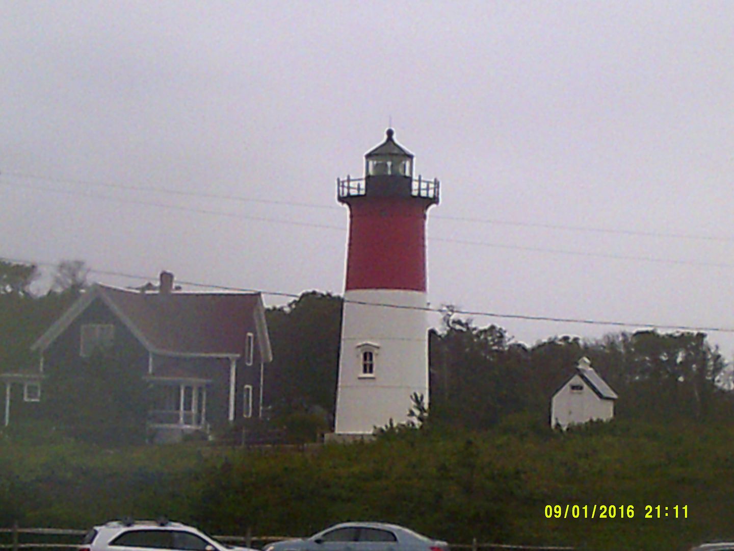
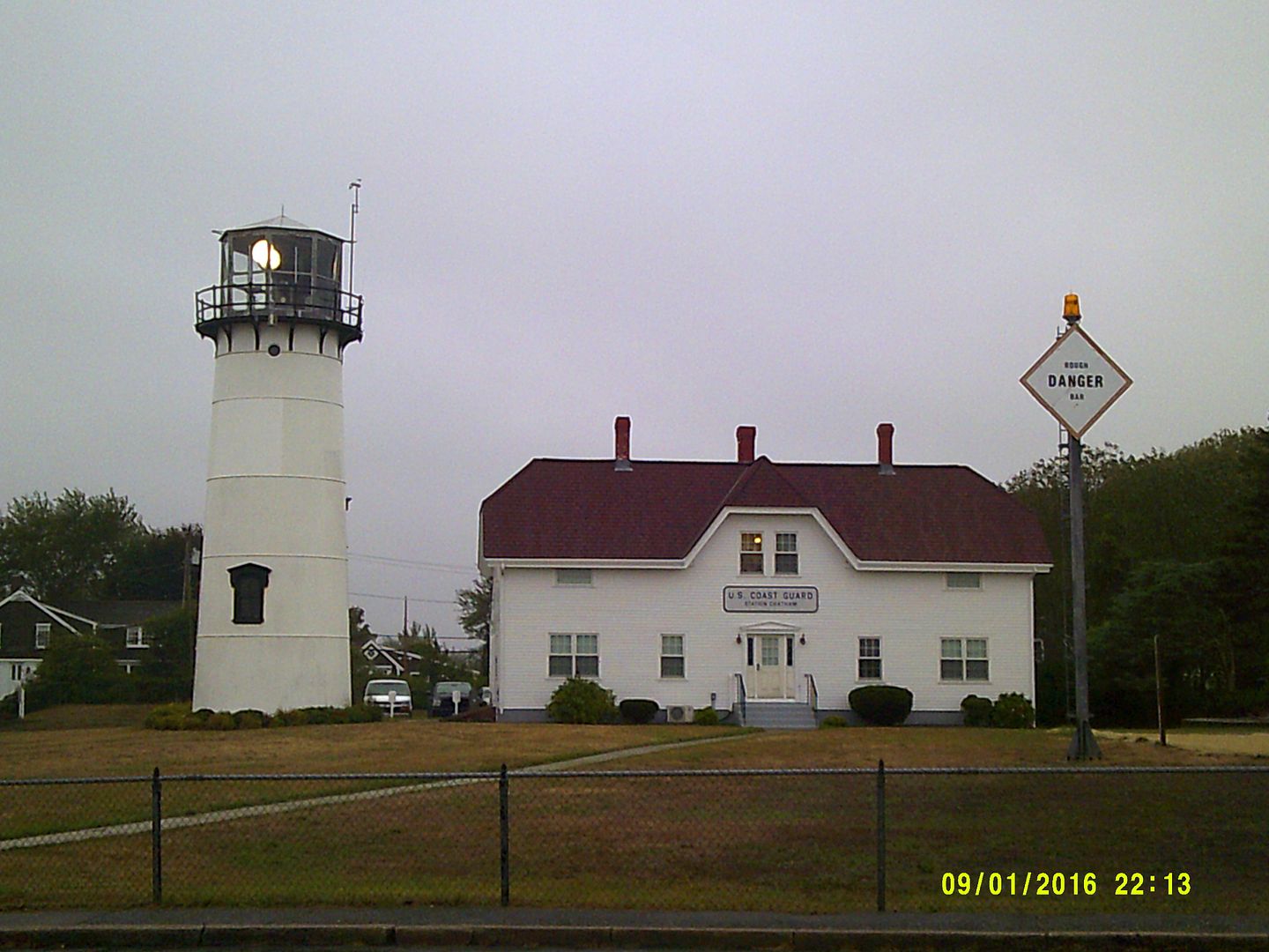
Chatham: 14,124/28
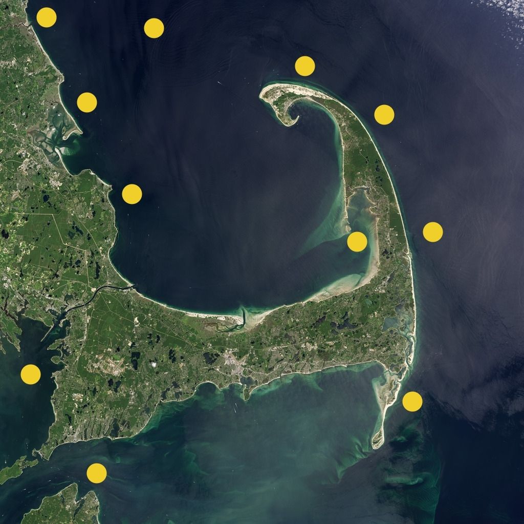
Here are the locations of 11 of the 13 buoys, locations based on me rough-guessing by town:
A Few Things To Know (Or To Try To Find Out):
- I do not know if the sharks on the South Shore or in Boston are ones that were tagged off of Cape Cod. I'll try to get Dr. Skomal on the phone before I publish (never overestimate the pull with important people that this column has), but for now I'd say they were all tagged off of Cape Cod. I'm not aware of Dr. Skomal operating on the South Shore.
- I don't know if 2 of the 4 sharks off of Plymouth are 2 of the 2 sharks off of Duxbury. It is fun to ascribe people scenarios to fish, a la "the two sharks who make it up to Duxbury have a second home" or "two of the four Plymouth sharks are Jewish, and, well, Duxbury Beach is sort of like a sandy little country club" and so forth.
- If the Boston/Scituate/Duxbury/Mass Bay sharks are all the same ones, it implies both a low number (one shark is bad news, don't get me wrong, but if only 4 sharks round the tip of Provincetown and get to the South Shore, I'm fairly safe when compared to 2 dozen or more making 14,000 appearances off of Chatham) and more of a wide range per shark.
- I have rather extensive archives via my time with different publications on Cape Cod, and have no intention of digging up the maps (I already have to make a phone call, c'mon!), but I'm thinking that, once you imagine these 4 sharks working western Cape Cod Bay, it looks a lot like the route taken by the tagged seals who are released off of Scusset Beach now and then.
- Places where I'd like to see Receiver Buoys that don't have them now... Sandwich, Marshfield, Hull, Hyannis, Dennis, Falmouth and Nantucket.
- I don't know how many RBs are in Buzzards Bay, or where in Buzzards Bay they may be. A good spread running from Wareham to New Bedford to Westport would be proper-like. Our last fatal shark attack was off of Mattapoisett, in the 1930s.
- I don't know how much receiver buoys and transmitter tags cost, but it might behoove towns with large beach-tourist populations to spend the paper, follow Dr. Skomal's lead, hire some fishermen and try to tag any shark that comes across a sort of mid-Cape-Cod-Bay version of the Rubicon.
- If there are people who watch fishermen catch wicked tunas on TV, it's safe to say that I could sell my
Taggin' Porkers show. I'd just need a few colorful fishermen (which, at last count, was all of them) and a bit of grease money to get the process moving.
- I'm not sure how long a shark has to hang around a buoy for it to count as an Appearance. Chatham has 14,000 appearances, but maybe half could be the same 3 or 4 sharks hanging around the edge of the range of the same buoy.
- At least one South Shore town should build a 70 story Quint statue right on the water facing the sea, to scare away any sharks who have seen
Jaws (
Jaws is viewed as a tragedy in both the human and shark worlds).
"The Colossus Of Quint." I'd put it right where the trailer park is in Brant Rock.
- It'd be cool if one really bad-ass shark worked the whole coastline, sort of like how boxers or wrestlers used to barnstorm back in the proverbial Day.
- I still think that, once the sharks eat someone, lifeguarding will shift from beach chairs to boats with fish-finders, sirens, and cell phones. I'd also bet on drones getting in the mix somehow. The Hasselhoff/Pam Anderson/Beach Patrol style of lifeguard may be as much of a relic as a redcoat British soldier with a musket.
- Someone should invent a 50 foot, 50 knot-swimmin' killer whale Orca robot and have it patrol the South Shore. While killing sharks is frowned upon and most likely is illegal, if my robot did up one GWS in front of his buddies, they might all go to the Outer Banks or somewhere.
- If Donald Trump were a Duxbury selectman instead of the GOP front-runner, there would be a 5% chance that we'd at least study the possibility of running an underwater wall from the tip of Provincetown to, say, the tip of Hull. I doubt that the Mexicans would pay for it, but the short-fingered vulgarian would think of something.


