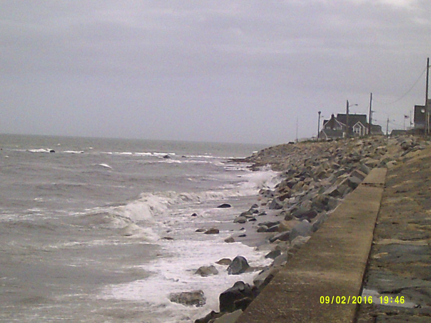
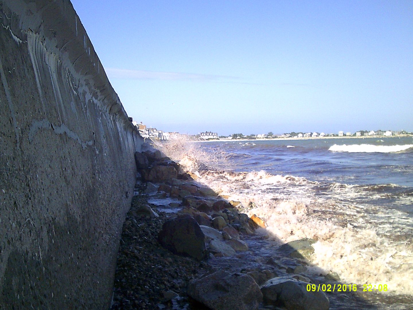
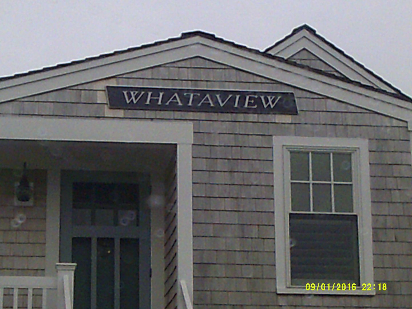
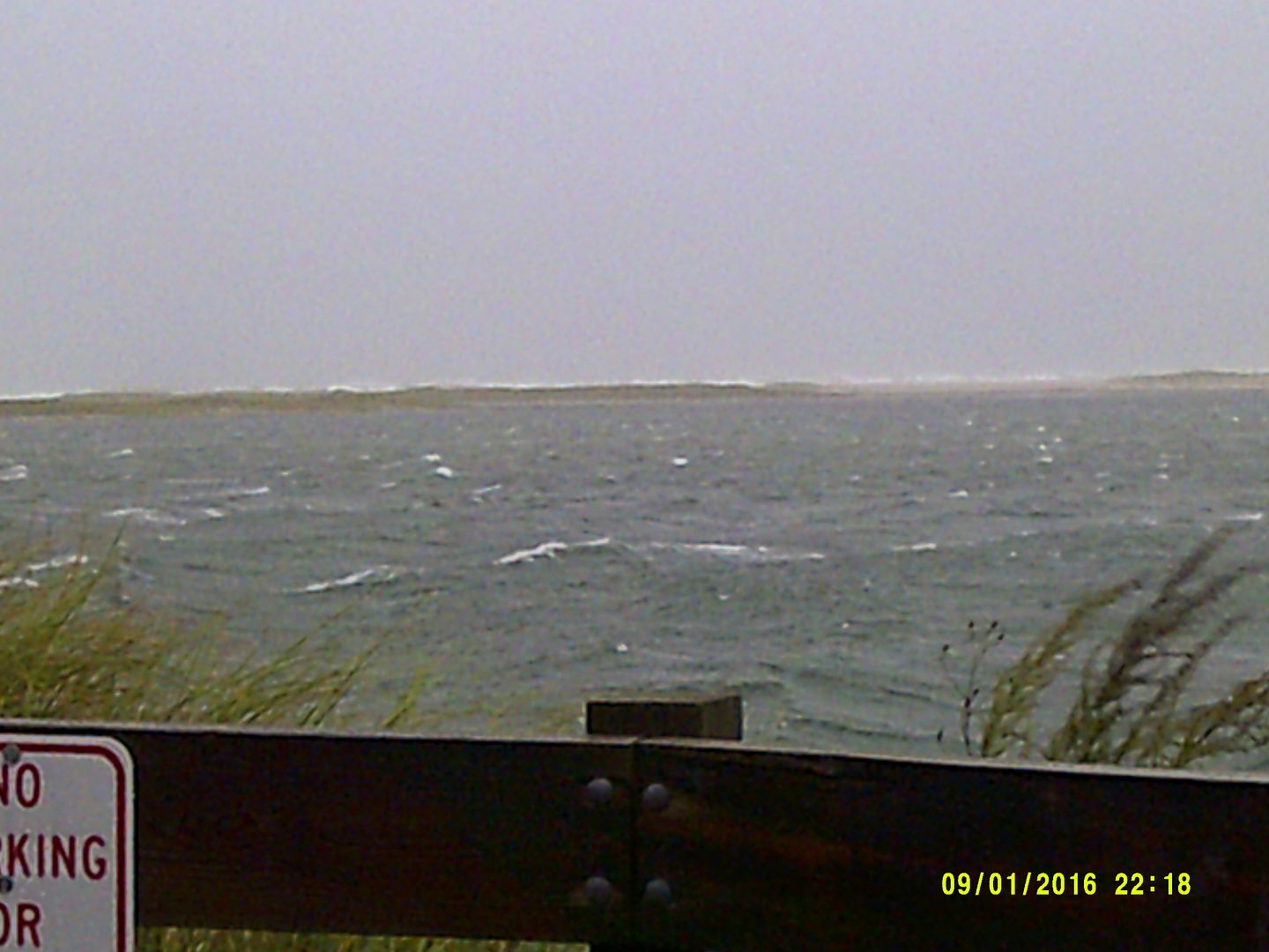
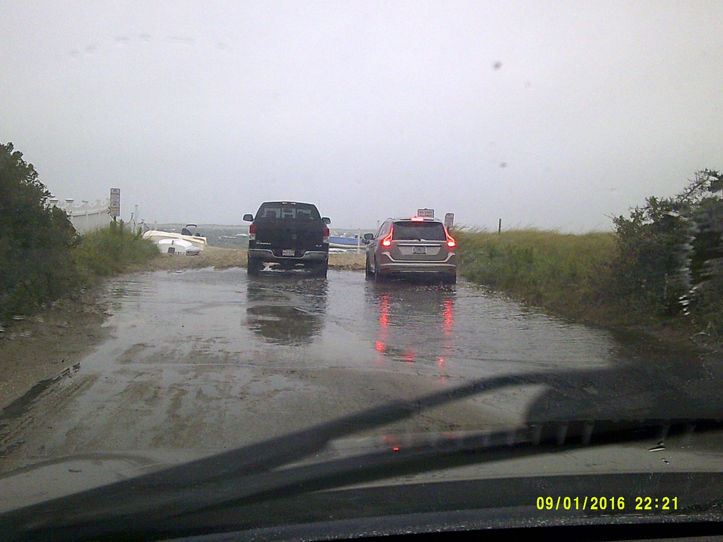
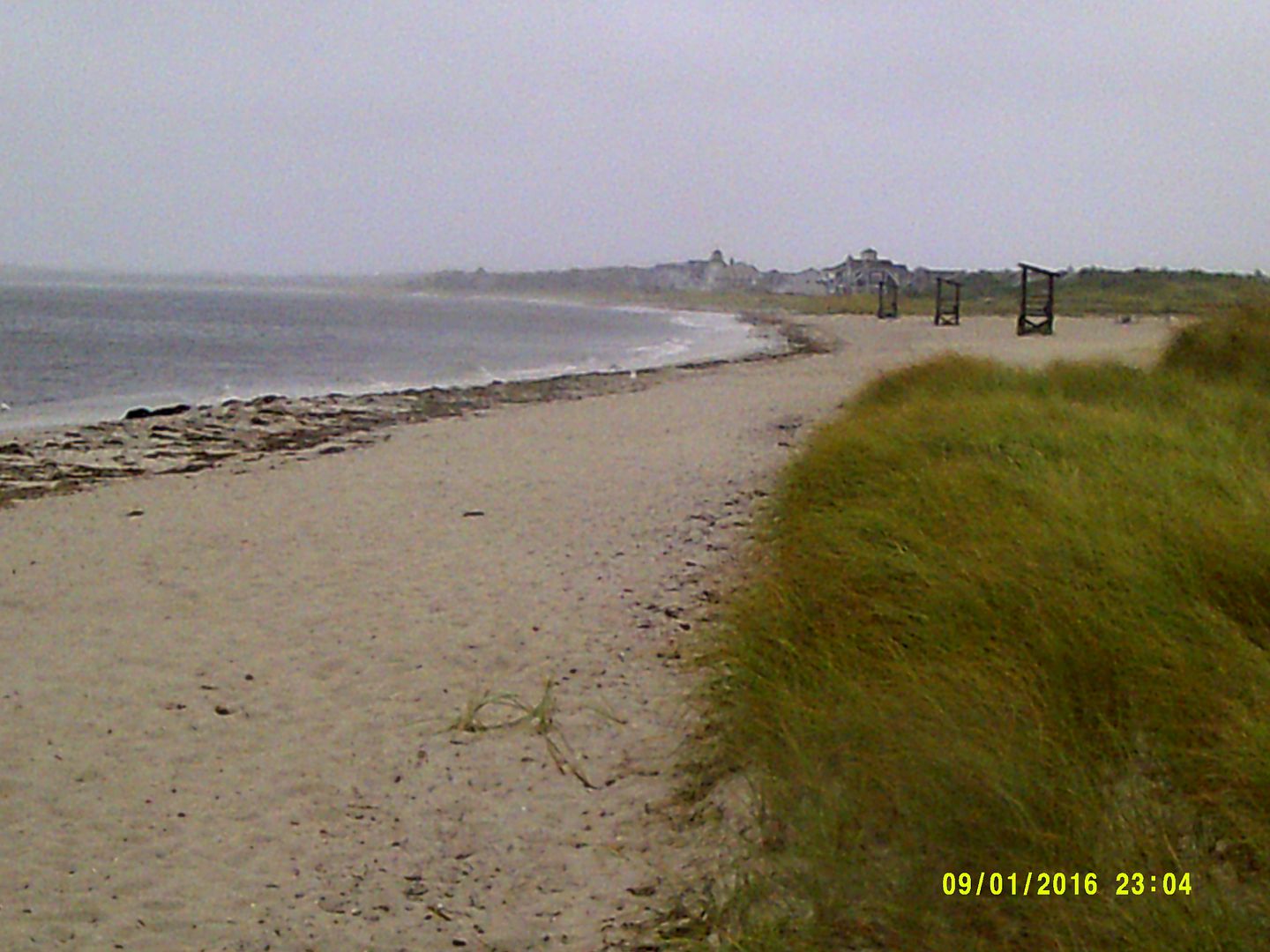
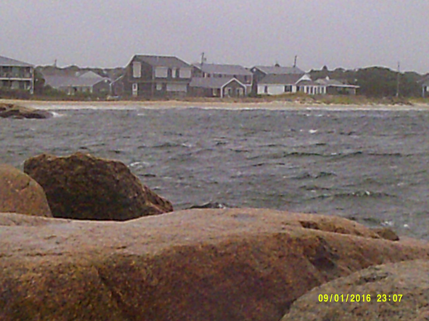
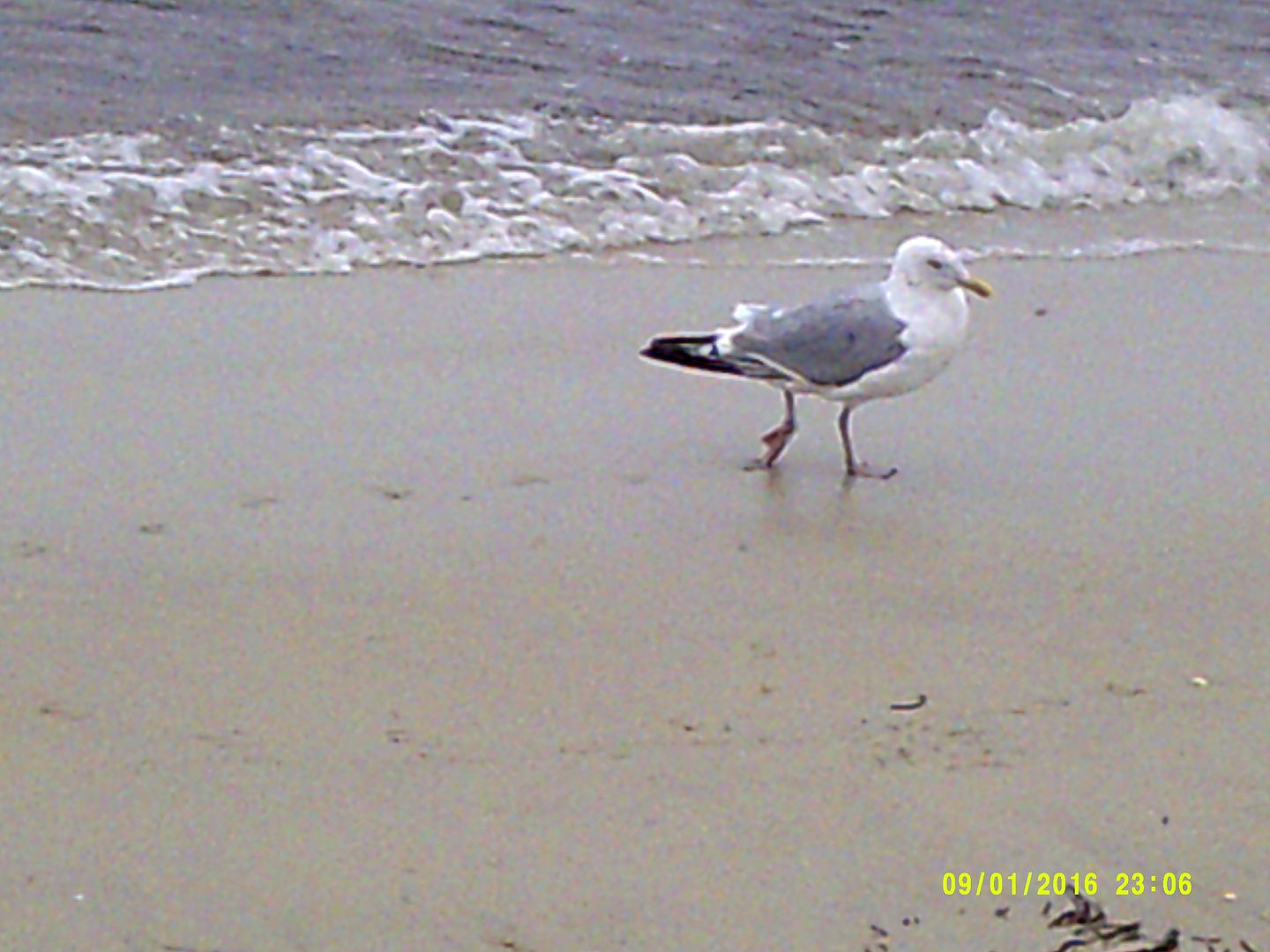
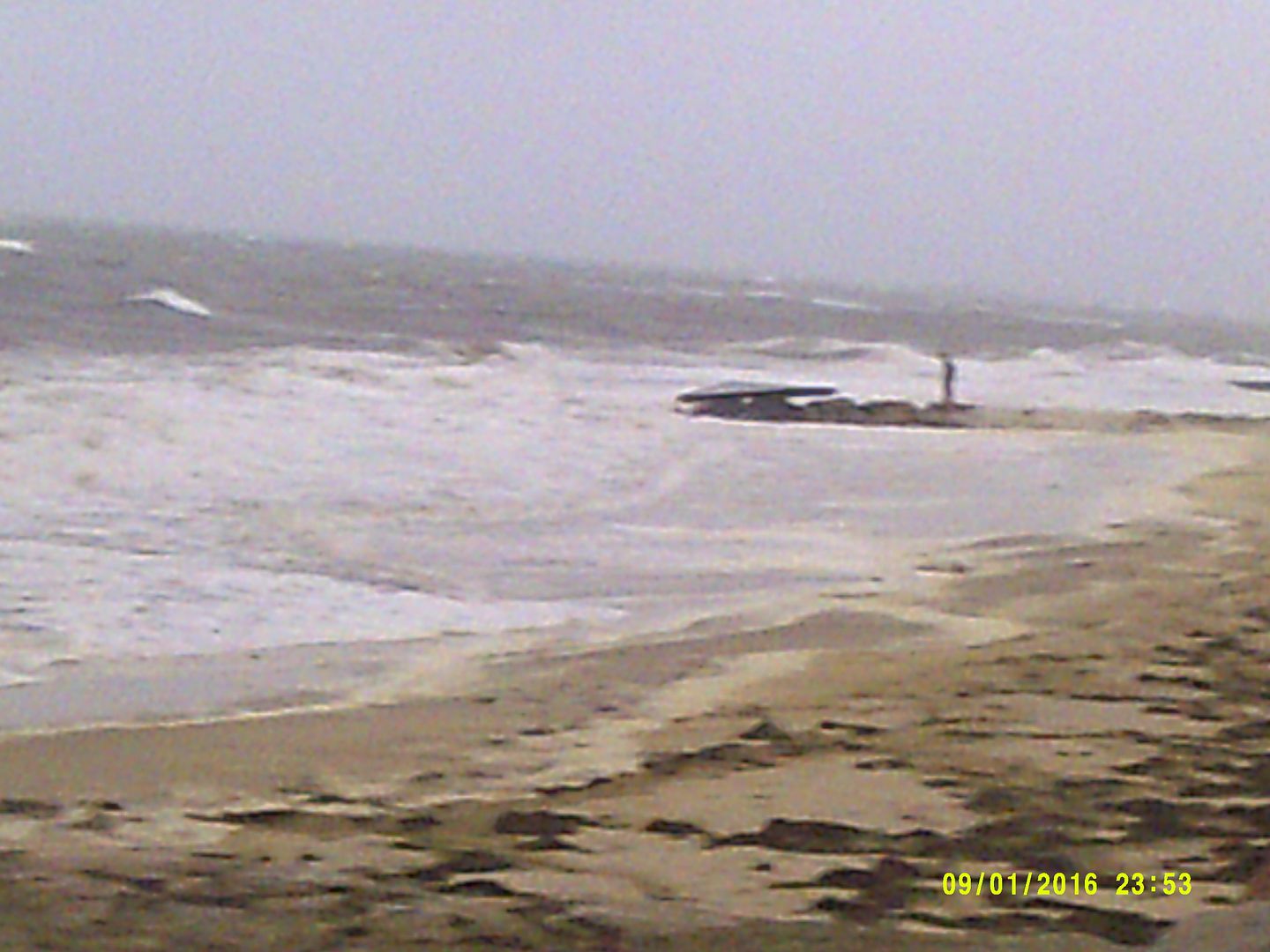
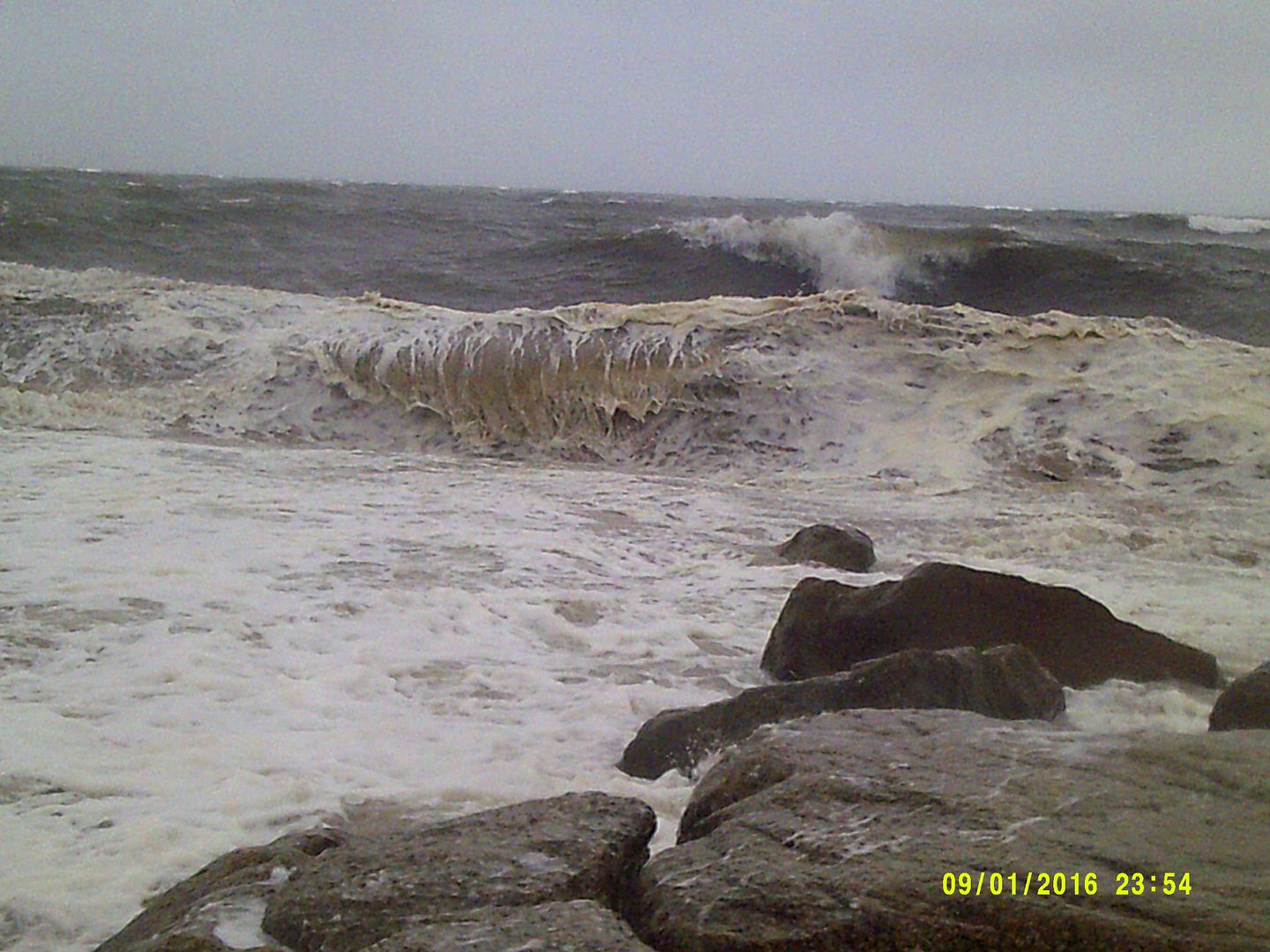
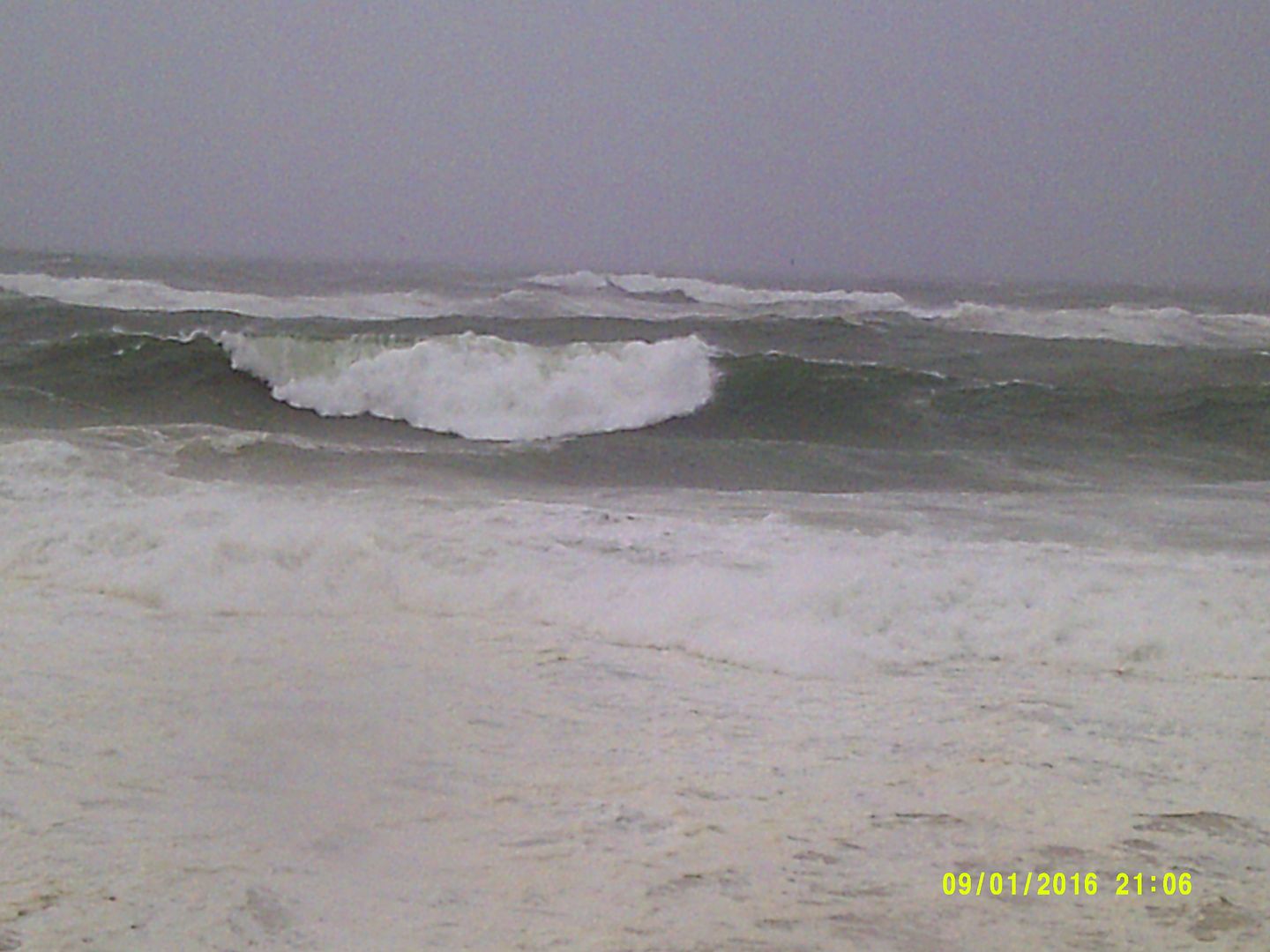
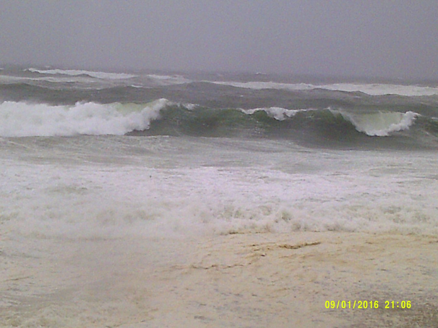
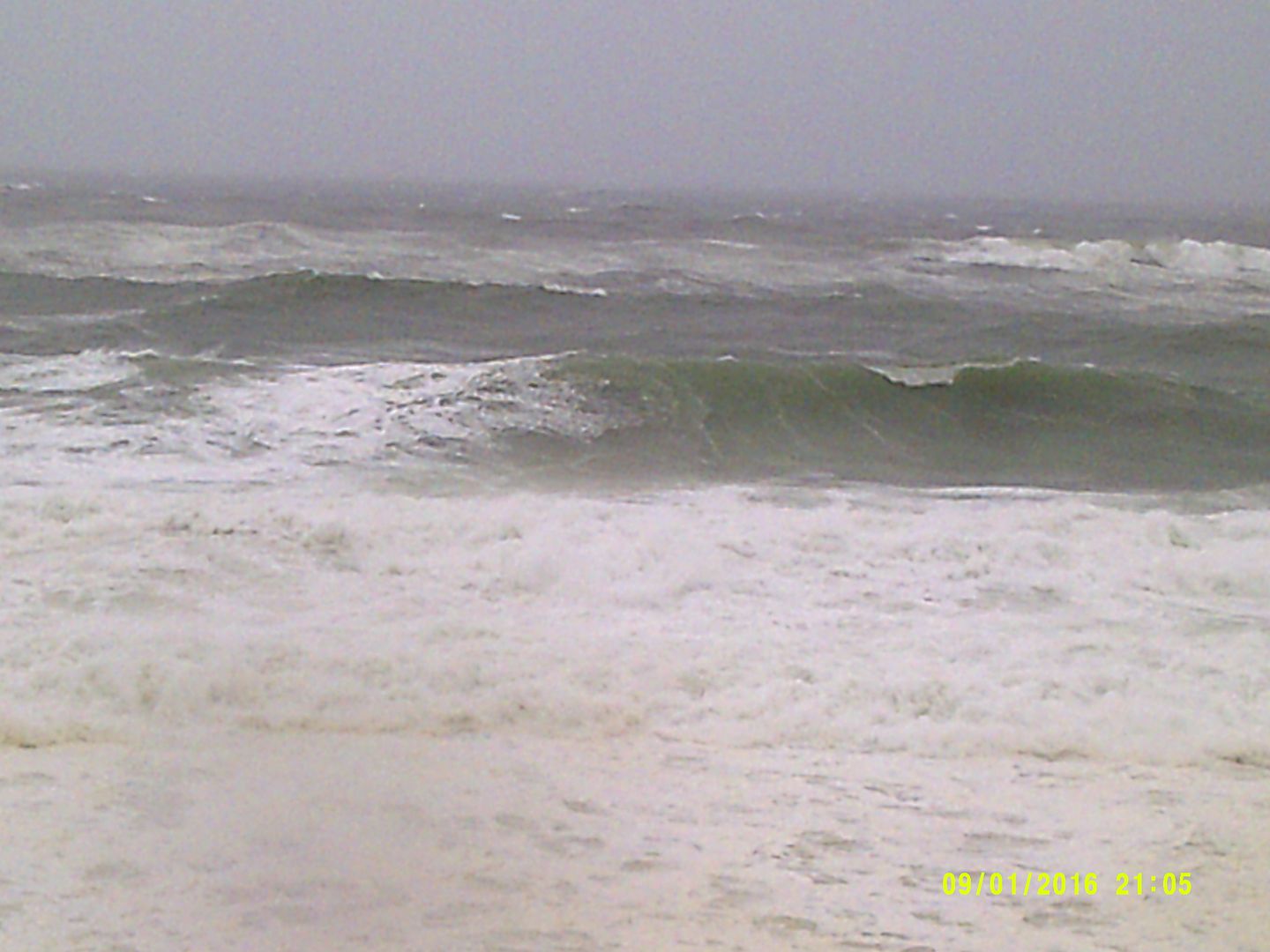
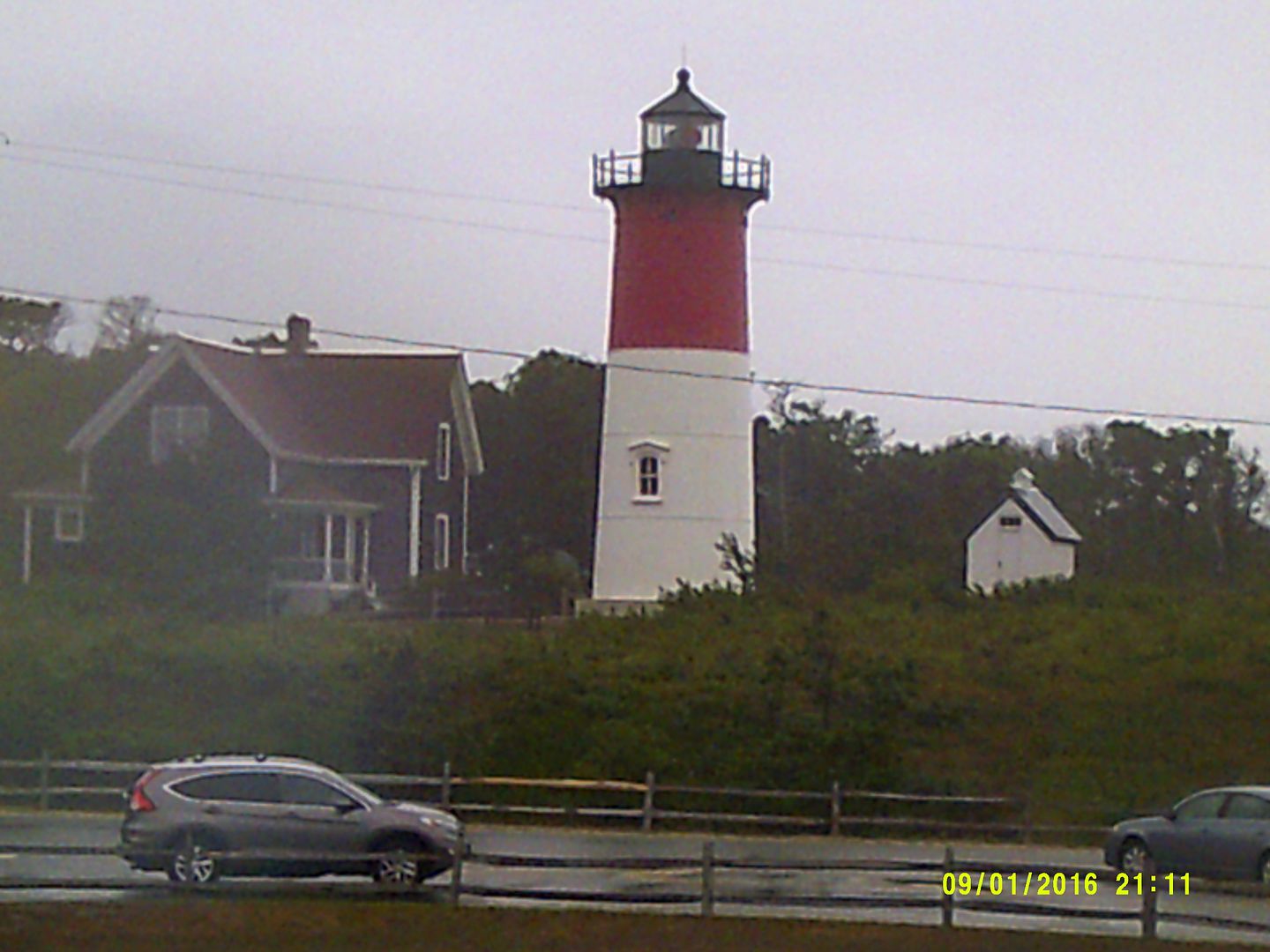
(Editor's Note... we'll be on the road all week to get you some storm pictures. For now, we'll turn it over to MEMA)
MASSACHUSETTS EMERGENCY MANAGEMENT AGENCY
SITUATIONAL AWARENESS STATEMENT
DATE: September 4, 2016
TIME: 9:00 AM
SUBJECT: Tropical Storm Hermine
Situation:
No significant changes were made to the forecast overnight and Hermine remains a post-tropical storm with little change in strength expected today. At 5 AM the post-tropical storm was located about 305 miles south-southeast of the eastern tip of Long Island with maximum sustained winds of 65 mph moving to the east-northeast at 12 mph and a minimum central pressure of 998 mb. The National Weather Service continues to expect a glancing blow to the south coast, Cape Cod and the Islands mainly tonight into Monday morning. The primary concern continues to be 40-50 mph wind gusts on the south coast, Cape Cod and Islands resulting in some downed trees and scattered power outages tonight into Monday afternoon. Hermine is expected to slow down and turn northward later today. Southeastern Massachusetts, to include the south coast, Cape Cod, and Islands remains in the Cone of Error for this storm.
Forecast and Impacts:
The post-tropical cyclone is expected to turn toward the northeast and north with a decrease in forward speed expected later today, followed by a slow northward to northwestward motion through Monday. On the forecast track, the center of Hermine will meander slowly offshore of the mid-Atlantic coast for the next couple of days. While little change in strength is expected today, Hermine is forecast to intensify to Hurricane Force tonight and on Monday.
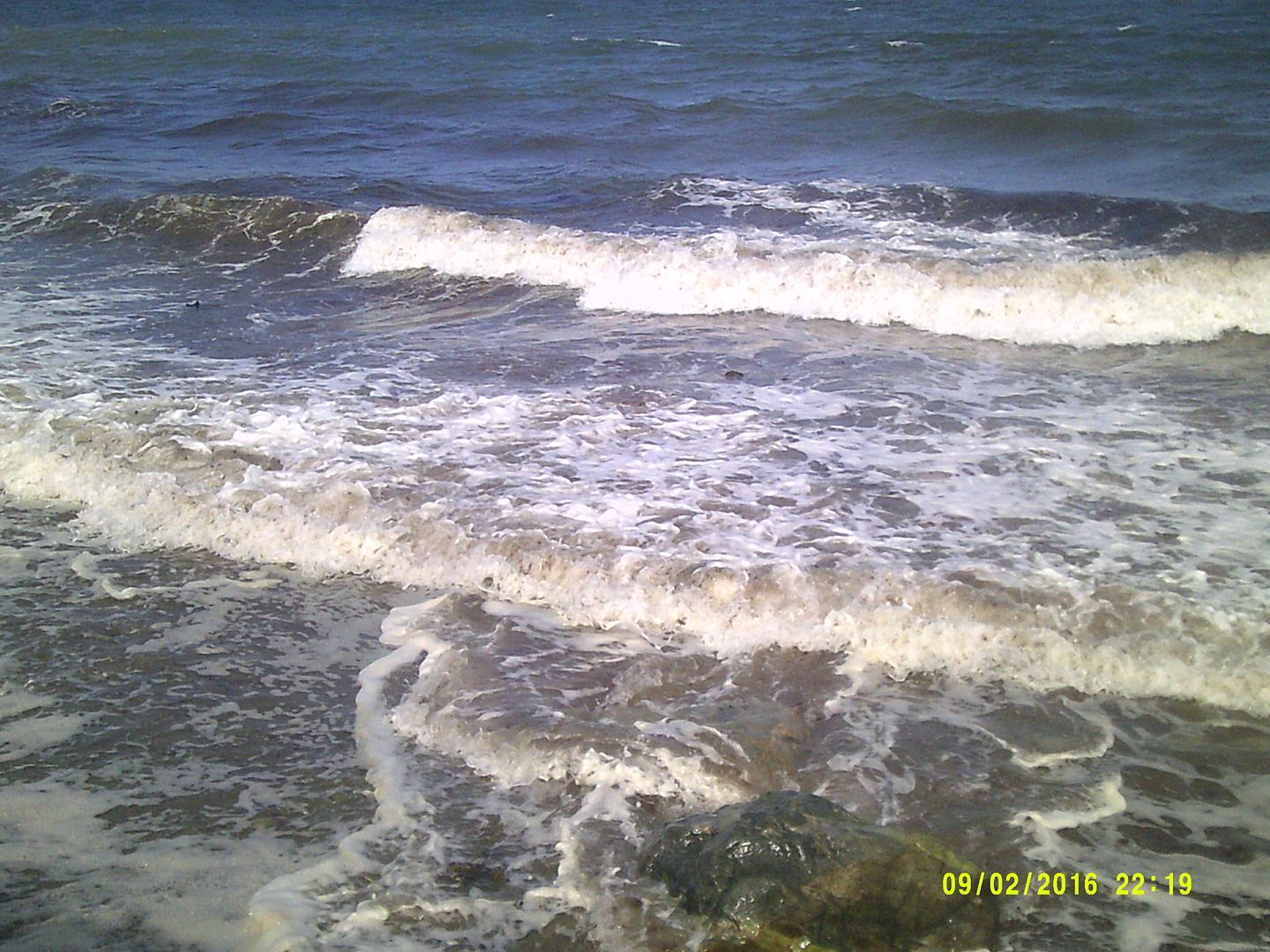
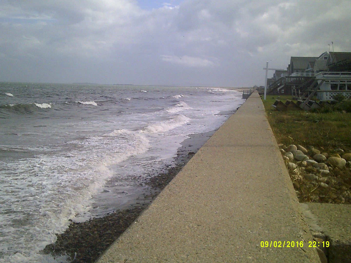
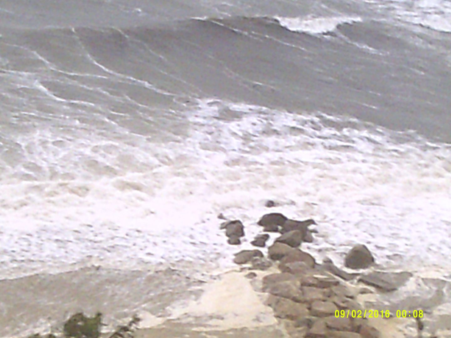
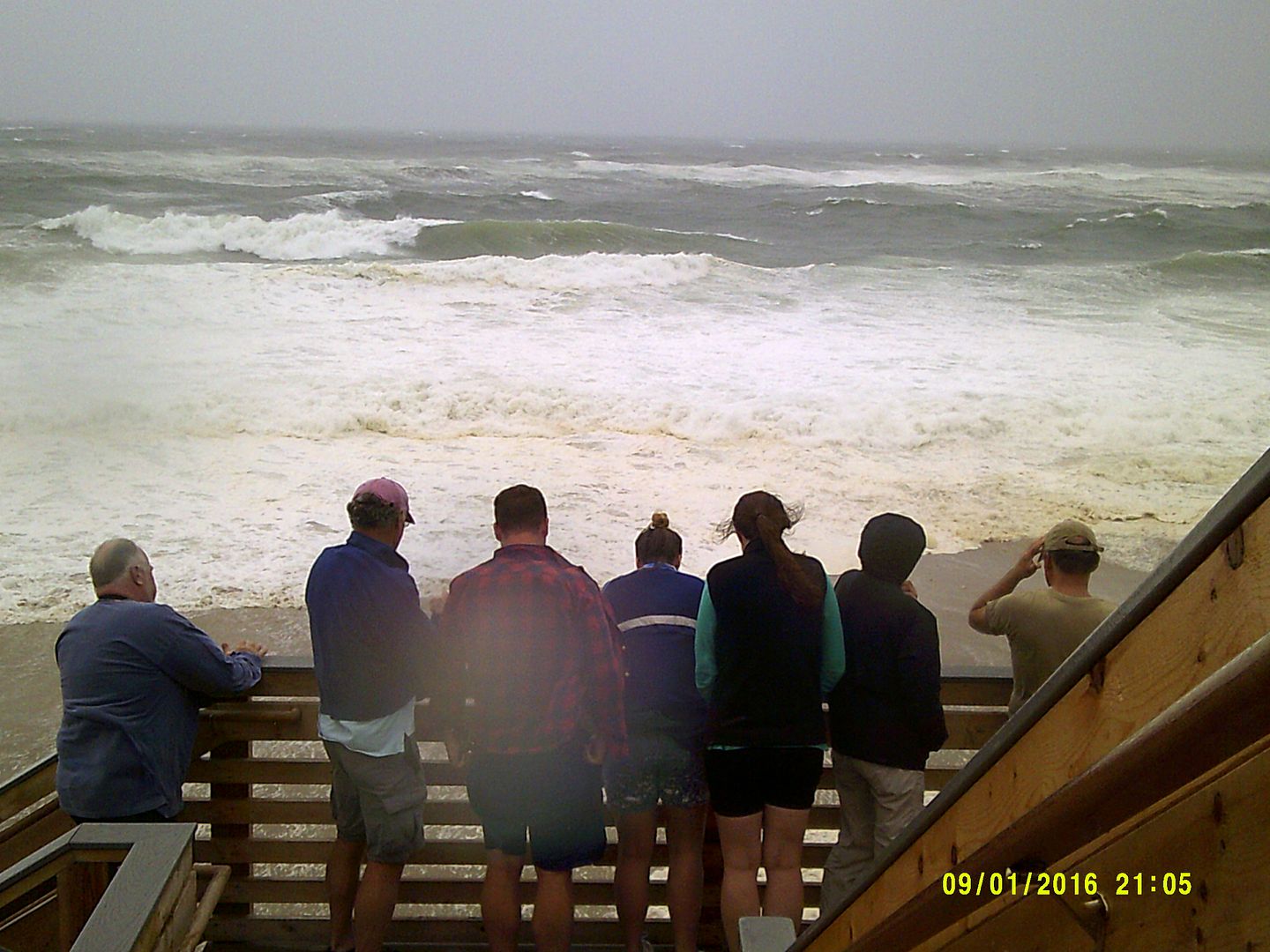
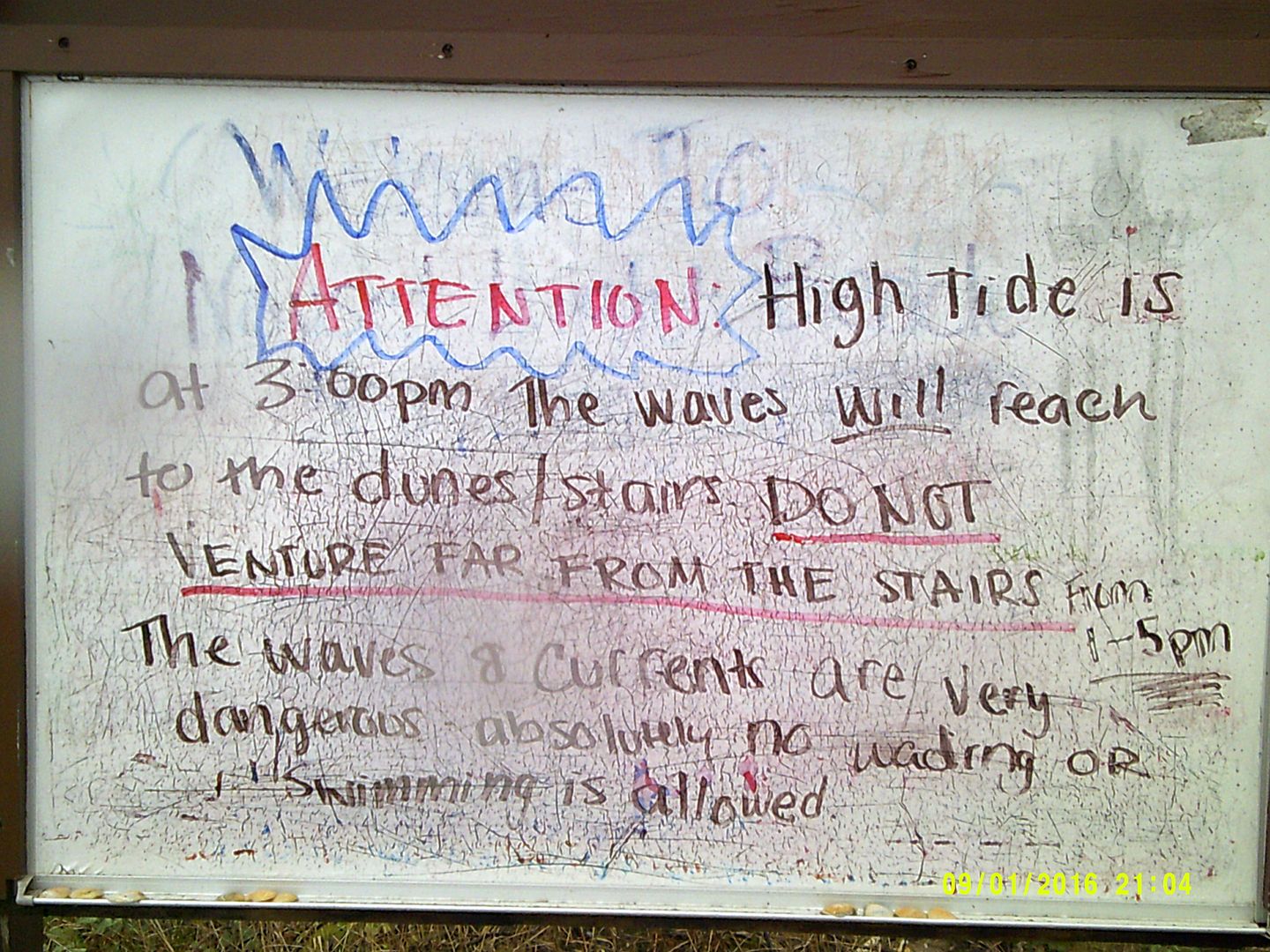
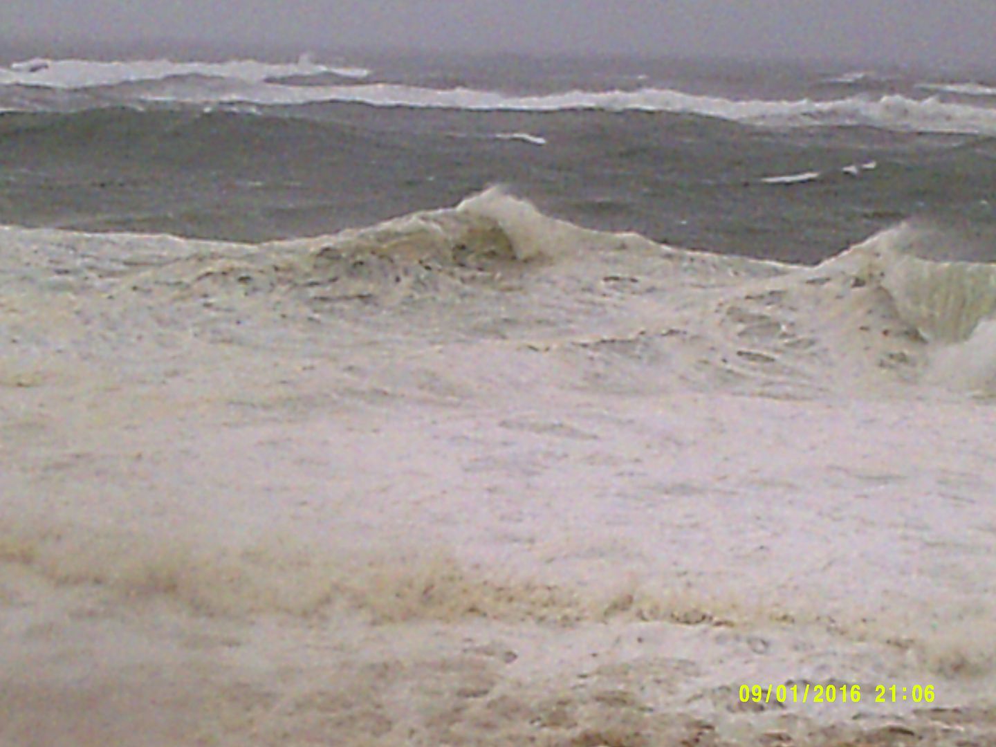
Hermine continues to have a large wind field with Tropical Storm force winds extending outward up to 205 miles from the center. The wind threat from Hermine is expected to come in two pulses, with the strongest tonight into Monday afternoon. The other (less certainty at this time) will be on Tuesday as the storm pulls away. Isolated downed tree limbs are possible across eastern Massachusetts with 25-35 mph wind gusts tonight into Monday with scattered tree and powerline damage possible along the south coast area. Despite the winds not being too extreme, drought exhausted trees could fall more easily. Expect a long duration of high surf, dangerous rip currents, beach erosion and wind gusts to Tropical Storm force on the southern waters and south coast and Islands. Mariners should expect a period of strong winds and rain beginning on Sunday afternoon and lasting through Monday with wind gusts to 45 knots and seas of 15-20 feet across southern waters. There is a low risk for minor coastal flooding, and riverine flooding is not expected to pose a significant threat due to ongoing drought conditions across much of the Commonwealth.

National Weather Service has provided the following most likely scenario at this time:
· 30-50 mph wind gusts with the strongest winds focused along the immediate South Coast and the Cape and Islands.
· Up to 1 to 2 inches of rain, focused mainly across Cape Cod and the Islands
· Rough surf and dangerous rip currents
· Minor beach erosion
· Marine impacts with wind gusts to 45 knots, and seas 15 – 20 feet over southern waters
National Weather Service has provided the following reasonable worst case scenario at this time (if Hermine takes a more northerly track than forecast by Monday into Tuesday):
· 40-50 mph wind gusts farther inland to the RI/CT border, with more gusts to 50 mph.
· 2 to 3 inches of rain on Cape Cod and the Islands
· Minor coastal flooding
· Moderate beach erosion
· Marine impacts, with wind gusts to 55 knots, and seas 20-25 feet over southern waters
Watches and Warnings:
· Tropical Storm Warning is in effect for the outer waters from Provincetown, MA to Montauk, NY. Strongest winds will be tonight with gusts of 50 knots possible. Seas will build rapidly today and may reach at least 20 feet south of the Islands by tonight.
· A Tropical Storm Watch remains in effect from Watch Hill, RI to Sagamore Beach, MA to include Narragansett and Buzzards Bay and Nantucket and Vineyard Sounds. Tropical storm force winds associated with Hermine will likely develop this evening and tonight and persist into Monday morning. The strongest winds will occur tonight with gusts 40-45 knots, especially over open waters. Seas will rapidly build today and may reach 10-15 feet tonight.
· A Gale Warning is in effect from 11 PM tonight to 8 AM Monday for Cape Cod Bay, coastal waters east of Ipswich Bay and the Stellwagen Bank National Marine Sanctuary with northeast winds 20-30 knots gusting to 35 knots and seas 7-12 feet.
What we do not know at this time:
· Exactly how far north the edge of the Tropical Storm force winds will reach before Hermine loops back to the Southwest
· How strong Hermine will be when it passes Southeast of New England and what exactly that means for the second pulse on Tuesday.
· What accumulated erosion effects may occur from what looks to be a long duration period of storm surge and high waves.
Rainfall Forecast through Thursday AM
Current NWS Headlines – Watches, Warnings and Advisories
Marine:
Based on National Weather Service and National Hurricane Center forecasts regarding Tropical Storm Hermine, the Captain of the Port, Southeastern New England, has set Port Condition WHISKEY. While ports in Southeastern New England remain open to all commercial traffic, the following preparatory measure is effective immediately:
Owners, operators or agents of all self-propelled oceangoing vessels over 500 gross tonnage and all barges and their supporting tugs must report their intention to depart or remain in port to Sector Southeastern New England within 24 hours.
The Coast Guard will continue to monitor Tropical Storm Hermine and, if necessary, may implement preventative measures to ensure the safety of mariners, vessels, and waterfront facilities. Possible preventative measures include, but are not limited to, terminating lightering or transfer operations, rescinding permits for marine events, and directing vessel arrivals/departures to/from port.
The NWS has issues a Small Craft Advisory for 6 AM Sunday to 8 PM Monday for Massachusetts and Ipswich Bay.
Ferry Services Update (as of 0800):
Steamship Authority – Anticipates the cancellation of Nantucket ferry runs sometime this afternoon, as the wind picks up. They anticipate that the Vineyard Route may also be impacted before the end of scheduled trips. All ferries are operating as scheduled at this time.
Hy-Line Cruises – Service to Martha’s Vineyard has been suspended for today and Tomorrow, as well as inter-island service from Martha’s Vineyard to Nantucket. Hyannis to Nantucket is still operating, however it is weather dependent.
Island Queen Falmouth - Canceled all trips Sunday and Monday, Trip by Trip Basis Tuesday, and Wednesday.
Seastreak New Bedford- Martha’s Vineyard and Nantucket trips, Canceled Sunday through Tuesday, or when the Hurricane barrier in New Bedford reopens. Could be later than Tuesday depending in the impact of the storm.
Seastreak NY – New York To Martha’s Vineyard and Nantucket, Canceled for Monday (anticipates running Sunday) Operates Friday’s and Sunday’s and Labor Day.
Rhode Island Fast Ferry- Quonset Point to Martha’s Vineyard canceled all Ferries Sunday through Tuesday
New Bedford Hurricane Barrier is anticipating closing Sunday and anticipates reopening on Tuesday, Possible sooner or later depending on the track of the storm.