Showing posts with label Eastham. Show all posts

Sunday, September 18, 2016

Massachusetts Lighthouse Tripping

The fun part about my job is that, while covering other stories, I can stop along the way and take pictures of lighthouses. I grew up near one, and am sort of accustomed to foghorns and circling lights. I never miss a chance to get a picture of one if I am out and about.


This is Nauset Light, one of the Three Sisters. She's essentially a replacement sister and sort of married into the family, but she sure does look nice. She's 48 feet tall, made of cast iron and is encased in brick. She's set back a bit, as Cape beaches were eroding long before the discussion of eroding beaches became fashionable. She was built in 1877. Lovers of snacks should know that this lighthouse is the represented in the logo for Cape Cod Potato Chips.


This is the much-loved Chatham Lighthouse. She's old enough (1808 birth) that Samuel Nye, her first keeper, was appointed by Thomas Jefferson. She went automated in 1982, and is prominent in the film The Finest Hour. The house next to it is an active Coast Guard Station, and even serves as a base for Homeland Security-type stuff. I actually drove by this without a hitch  the day before Tropical Storm Hermine came to town, but when I returned during the height of the storm, the traffic was like Boston. While I failed as a photographer in "getting a level horizon," I did manage to catch the light when it was flashing towards me. 


Old Scituate Light, the lighthouse that the American Army Of Two defended. She was built in 1811, the Bates sisters did their thing in 1814, and the construction of Minot's Ledge Light pushed her out of service in 1850. This being Scituate, she was brought back into service 2 years later when MLL was destroyed in  an 1851 tropical winter/spring storm. I suppose you can imagine the "I told you so" action that was going on among the old salts back then. MLL went back in service in 1860, which sent Old Scituate Light back to the bench. Scituate bought it in 1910 for $4000, and it was in a state of disrepair for most of the last century. They fixed it up well enough that you can tour it these days. 
Our photographer appears to be using the rocks to position himself to shoot Old Scituate Light, but I know him well enough to say that he is most likely looking at porn, fantasy football or both. Sharper-eyed readers may get a kick out of knowing that the only picture of his we used is the one that has water drops all over the camera lens... but we did lead off with it, so props to the Big Man.


Just in case you think that went to a shabbier lighthouse and just told you it was Scituate Light, we threw in a pic with the sign. We try to keep it real here at Cranberry County Magazine. This lighthouse is steeped in history. It is where the USS Chesapeake fought and lost to the HMS Shannon in 1813, a battle famous for the "Don't give up the ship" command was uttered by a dying Captain James Lawrence just before his surviving crew, well, gave up the ship.

Here's how you challenged a ship to a fight in 1813... "
As the Chesapeake appears now ready for sea, I request you will do me the favour to meet the Shannon with her, ship to ship, to try the fortune of our respective flags. The Shannon mounts twenty-four guns upon her broadside and one light boat-gun; 18 pounders upon her maindeck, and 32-pounder carronades upon her quarterdeck and forecastle; and is manned with a complement of 300 men and boys, beside thirty seamen, boys, and passengers, who were taken out of recaptured vessels lately. I entreat you, sir, not to imagine that I am urged by mere personal vanity to the wish of meeting the Chesapeake, or that I depend only upon your personal ambition for your acceding to this invitation. We have both noble motives. You will feel it as a compliment if I say that the result of our meeting may be the most grateful service I can render to my country; and I doubt not that you, equally confident of success, will feel convinced that it is only by repeated triumphs in even combats that your little navy can now hope to console your country for the loss of that trade it can no longer protect. Favour me with a speedy reply. We are short of provisions and water, and cannot stay long here."...  Captain Phillip Broke
A year later, two American girls chased away a boatload of British marines, so we sort of won back the honor of the coast. Eff England!

Not all naval action around Old Scituate Light involves us trying to kill Europeans. This rock represents the grounding of the Italian freighter Etrusco in a 1956 blizzard. The crew was saved by the Coast Guard. The ship, stuck on the rocks of Cedar Point for quite some time, was a local tourist attraction until it was freed by dynamiting most of the ledge.


Duxbury Beach, MA


Tuesday, September 6, 2016

Hermine Surf Check: Nauset Light Beach

Nauset Light Beach


This was sound advice yesterday 


We covered a few towns yesterday, check it out Chatham, Yarmouth, Bourne and Plymouth right here..


Sorry about the mis-dating from the camera... you'd think that a $29 camera from WalMart would perform better. 


If I had to rank the worst surf I saw yesterday, it would be 1) Nauset, 2) Chatham, 3) Sagamore, 4) Cedarville and 5) Yarmouth


The seas were angry that day...


The eponymous Nauset Light (one of the Three Sisters) of Nauset Light Beach.


No one was in a hurry to get off the Cape or anything...


Sunday, September 4, 2016

Tropical Storm Warning For Cape Cod, South Coast; MEMA Situational Awareness Statement


(Editor's Note... we'll be on the road all week to get you some storm pictures. For now, we'll turn it over to MEMA)

MASSACHUSETTS EMERGENCY MANAGEMENT AGENCY
SITUATIONAL AWARENESS STATEMENT
DATE: September 4, 2016
TIME: 9:00 AM
SUBJECT: Tropical Storm Hermine
Situation:
No significant changes were made to the forecast overnight and Hermine remains a post-tropical storm with little change in strength expected today. At 5 AM the post-tropical storm was located about 305 miles south-southeast of the eastern tip of Long Island with maximum sustained winds of 65 mph moving to the east-northeast at 12 mph and a minimum central pressure of 998 mb. The National Weather Service continues to expect a glancing blow to the south coast, Cape Cod and the Islands mainly tonight into Monday morning. The primary concern continues to be 40-50 mph wind gusts on the south coast, Cape Cod and Islands resulting in some downed trees and scattered power outages tonight into Monday afternoon. Hermine is expected to slow down and turn northward later today. Southeastern Massachusetts, to include the south coast, Cape Cod, and Islands remains in the Cone of Error for this storm.
Forecast and Impacts:
The post-tropical cyclone is expected to turn toward the northeast and north with a decrease in forward speed expected later today, followed by a slow northward to northwestward motion through Monday. On the forecast track, the center of Hermine will meander slowly offshore of the mid-Atlantic coast for the next couple of days. While little change in strength is expected today, Hermine is forecast to intensify to Hurricane Force tonight and on Monday.
Hermine continues to have a large wind field with Tropical Storm force winds extending outward up to 205 miles from the center. The wind threat from Hermine is expected to come in two pulses, with the strongest tonight into Monday afternoon. The other (less certainty at this time) will be on Tuesday as the storm pulls away. Isolated downed tree limbs are possible across eastern Massachusetts with 25-35 mph wind gusts tonight into Monday with scattered tree and powerline damage possible along the south coast area. Despite the winds not being too extreme, drought exhausted trees could fall more easily. Expect a long duration of high surf, dangerous rip currents, beach erosion and wind gusts to Tropical Storm force on the southern waters and south coast and Islands. Mariners should expect a period of strong winds and rain beginning on Sunday afternoon and lasting through Monday with wind gusts to 45 knots and seas of 15-20 feet across southern waters. There is a low risk for minor coastal flooding, and riverine flooding is not expected to pose a significant threat due to ongoing drought conditions across much of the Commonwealth.

National Weather Service has provided the following most likely scenario at this time:
· 30-50 mph wind gusts with the strongest winds focused along the immediate South Coast and the Cape and Islands.
· Up to 1 to 2 inches of rain, focused mainly across Cape Cod and the Islands
· Rough surf and dangerous rip currents
· Minor beach erosion
· Marine impacts with wind gusts to 45 knots, and seas 15 – 20 feet over southern waters
National Weather Service has provided the following reasonable worst case scenario at this time (if Hermine takes a more northerly track than forecast by Monday into Tuesday):
· 40-50 mph wind gusts farther inland to the RI/CT border, with more gusts to 50 mph.
· 2 to 3 inches of rain on Cape Cod and the Islands
· Minor coastal flooding
· Moderate beach erosion
· Marine impacts, with wind gusts to 55 knots, and seas 20-25 feet over southern waters
Watches and Warnings:
· Tropical Storm Warning is in effect for the outer waters from Provincetown, MA to Montauk, NY. Strongest winds will be tonight with gusts of 50 knots possible. Seas will build rapidly today and may reach at least 20 feet south of the Islands by tonight.
· A Tropical Storm Watch remains in effect from Watch Hill, RI to Sagamore Beach, MA to include Narragansett and Buzzards Bay and Nantucket and Vineyard Sounds. Tropical storm force winds associated with Hermine will likely develop this evening and tonight and persist into Monday morning. The strongest winds will occur tonight with gusts 40-45 knots, especially over open waters. Seas will rapidly build today and may reach 10-15 feet tonight.
· A Gale Warning is in effect from 11 PM tonight to 8 AM Monday for Cape Cod Bay, coastal waters east of Ipswich Bay and the Stellwagen Bank National Marine Sanctuary with northeast winds 20-30 knots gusting to 35 knots and seas 7-12 feet.

What we do not know at this time:
· Exactly how far north the edge of the Tropical Storm force winds will reach before Hermine loops back to the Southwest
· How strong Hermine will be when it passes Southeast of New England and what exactly that means for the second pulse on Tuesday.
· What accumulated erosion effects may occur from what looks to be a long duration period of storm surge and high waves.
Rainfall Forecast through Thursday AM
Current NWS Headlines – Watches, Warnings and Advisories
Marine:
Based on National Weather Service and National Hurricane Center forecasts regarding Tropical Storm Hermine, the Captain of the Port, Southeastern New England, has set Port Condition WHISKEY. While ports in Southeastern New England remain open to all commercial traffic, the following preparatory measure is effective immediately:
Owners, operators or agents of all self-propelled oceangoing vessels over 500 gross tonnage and all barges and their supporting tugs must report their intention to depart or remain in port to Sector Southeastern New England within 24 hours.
The Coast Guard will continue to monitor Tropical Storm Hermine and, if necessary, may implement preventative measures to ensure the safety of mariners, vessels, and waterfront facilities. Possible preventative measures include, but are not limited to, terminating lightering or transfer operations, rescinding permits for marine events, and directing vessel arrivals/departures to/from port.
The NWS has issues a Small Craft Advisory for 6 AM Sunday to 8 PM Monday for Massachusetts and Ipswich Bay.
Ferry Services Update (as of 0800):
Steamship Authority – Anticipates the cancellation of Nantucket ferry runs sometime this afternoon, as the wind picks up. They anticipate that the Vineyard Route may also be impacted before the end of scheduled trips. All ferries are operating as scheduled at this time.
Hy-Line Cruises – Service to Martha’s Vineyard has been suspended for today and Tomorrow, as well as inter-island service from Martha’s Vineyard to Nantucket. Hyannis to Nantucket is still operating, however it is weather dependent.
Island Queen Falmouth - Canceled all trips Sunday and Monday, Trip by Trip Basis Tuesday, and Wednesday.
Seastreak New Bedford- Martha’s Vineyard and Nantucket trips, Canceled Sunday through Tuesday, or when the Hurricane barrier in New Bedford reopens. Could be later than Tuesday depending in the impact of the storm.
Seastreak NY – New York To Martha’s Vineyard and Nantucket, Canceled for Monday (anticipates running Sunday) Operates Friday’s and Sunday’s and Labor Day.
Rhode Island Fast Ferry- Quonset Point to Martha’s Vineyard canceled all Ferries Sunday through Tuesday
New Bedford Hurricane Barrier is anticipating closing Sunday and anticipates reopening on Tuesday, Possible sooner or later depending on the track of the storm.


Wednesday, July 20, 2016

Cape Cod And The Islands Gas Prices


Life doesn't play fair, and the Man is always trying to get one over on you. There's not much that you can do about it, as the Man is the Man for a reason, and that reason is not gender-exclusive. Sometimes, the best thing that can be done is to lessen the intensity of the beating.

As a man who has both studied military history and who has gone toe-to-toe with a few run-stoppers in my lifetime, I can tell you that many battles are won and lost by Logistics. That's one of those Army words that can mean whatever they need it to, and it has wide-ranging civilian implications. The short definition is getting to the right place at the right time with (or, in today's case, for) the proper supplies.

Logistics broke several of history's fiercest warlords, men such as Napoleon, Hitler, the Crusaders.... America would be British today were it not for the inherent Logistical Flaws involved with running America from England. Russia would be Nazi or French. Japan would be Mongol. All of Korea would be North Korea, even South Korea.

That's what we're here today to help you with. No matter how hard I work today, you're going to pay about double what you were paying for gas at the turn of the century. Sorry about that. However, if you can shave a few shekels off the Damages, it adds up over a year.

We're going town-by-town, giving you the lowest and highest gas prices you can find there. It's pushing noon on Wednesday, July 20th. The prices are whatever has been reported since Monday.

We publish this on Wednesday so that you can stumble across this article and fill your tank before they jack the price up to eff over the tourists on Friday.

You don't want to get treated like a tourist in your own home town, babe... that gets old fast. The best way to avoid that is to know your town. C’est ma raison d’etre......

MARTHA'S VINEYARD
Best: $2.99, Mobil, State Road, West Tisbury
Worst: $3.15, Shell, Main Street, Edgartown

NANTUCKET
$3.57, Shell, Sparks Avenue

PROVINCETOWN
Best: $2.40, Cumerland Farms, Shank Painter Road
Worst: $2.45, Gulf, Bradford Street
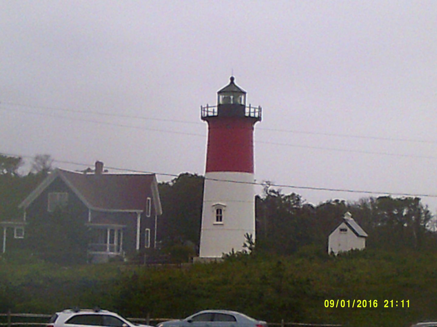
EASTHAM/ORLEANS
Best: $2.33, Tedeschi's, Vandale Circle
Worst: $2.39, Mobil, Route 6A
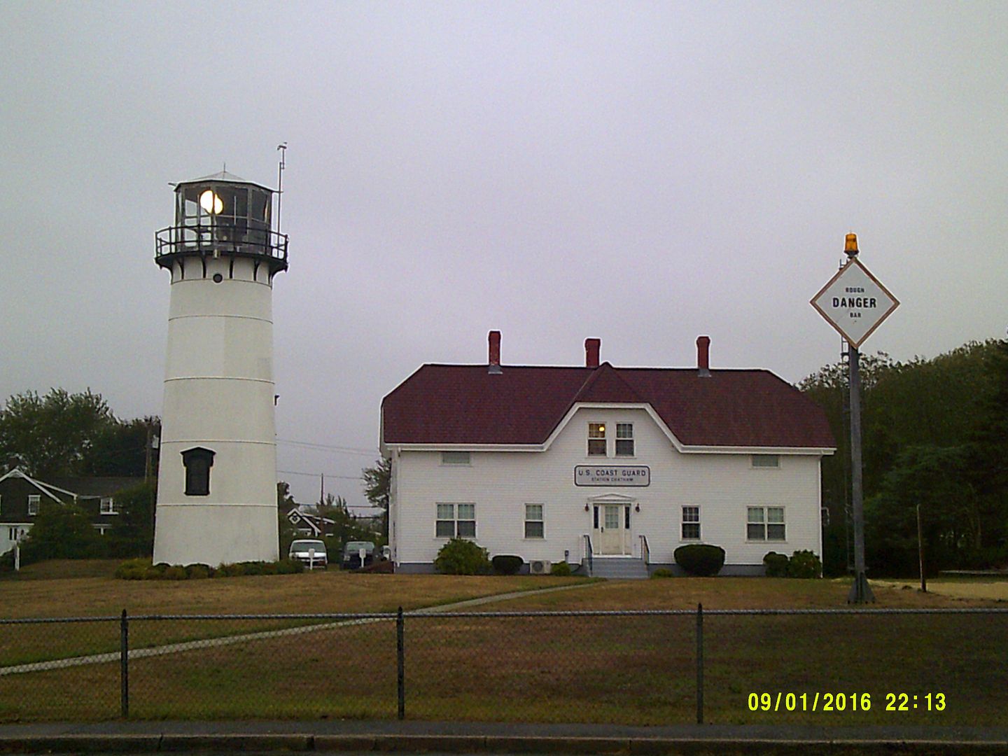
CHATHAM
Best: $2.35, Roundabout Gas, Main Street
Worst: $2.45, SAV-ON, Orleans Road

BREWSTER
Best: $2.34, Cumberland Farms, Seaway Road
Worst: $2.43, Mobil, Main Street

DENNIS
Best: $2.23, East-West Dennis Road
Worst: $2.49, Shell, East-West Denis Road

YARMOUTH
Best: $2.33, Mobil, Main Street
Worst: $2.45, Mobil, Station Ave

BARNSTABLE
Best: $2.27, BJ's, Route 132
Worst: $2.49, Mobil, Iyannough Road

MASHPEE
Best: $2.27, Shell, Nathan Ellis Highway
Worst: $2.29, Mobil, Great Neck Road

FALMOUTH
Best: $2.21, Johnny's Tune and Lube, East Falmouth Hwy and Cumby's, Teaticket Highway
Worst: $2.33, Mobil, Palmer Ave

SANDWICH
Best: $2.24, CITGO, Route 6A
Worst: $2.34, Shell, 6A

BOURNE
Best: $2.03 (reported at 10:45 AM Wednesaday), Bay Village Full Serve, Main Street
Worst: $2.17, Mobil, MacArthur Blvd/Clay Pond Road

CAPE COD AS A WHOLE, NOT INCLUDING BUZZARDS BAY OR NANTUCKET
Best: $2.15, Gulf, Bourne Bridge Rotary
Worst: $2.49, Dennis Shell, Barnstable Mobil

MASSACHUSETTS AVERAGE: $2.217

NATIONAL AVERAGE: $2.190

PRICE PER BARREL, CRUDE: $44.96

BEST PRICE IN MASSACHUSETTS: $1.93 US Gas and Stoughton Car Wash, Stoughton

WORST PRICE IN MASSCHUSETTS: $3.57, Shell, Sparks Avenue

WORST MASSACHUSETTS MAINLAND PRICE: $3.49, Mobil, Newburyport

WORST GAS PRICE IN AMERICA, $5.99, Orlando FL

SOUTH COAST GAS PRICES

If we missed something, let us know in the comments section...