We told you to watch those tropics!
Several tropical systems are spinning around in yonder ocean out there. We'll be getting touched by them very soon, perhaps even today on some coasts.
Don't get me wrong. The storm that gets closest to us may miss us by 500 miles, and we may not even get windy. However, even 1000 miles is close enough to have a dangerous effect on our waters.
Here's the tropical line-up, with links to the National Hurricane Center page on each storm:
Hurricane Gaston
Tropical Depression 8
Tropical Depression 9
Area Of Low Pressure Presently Moving Off Of Africa
That's a lot of tropical storming, folks.
That picture below (Tropical Depression 9, with Hurricane Gaston sort of photo-bombing in from the right) looks scarier than it should. The green area touching New England shows a 5% chance of tropical storm force winds reaching us, not the forecast chance of a tropical storm making landfall. Tropical storm winds are 35 mph minimum. We can do that standing on our head.
Gaston is way out in the ocean, aimed at the Azores, and won't get any closer to us than he already is. However, he's a whale of a storm, with winds of 85-100 mph. In a vacuum, he would maybe kinda increase waves on SE facing Massachusetts beaches.
TD 8 is off of North Carolina, while TD 9 is forming in the Gulf of Mexico.
They are more worrisome than Gaston. "Worrisome" exists in a zone where the range runs from "pay it no mind at all" through "panic, stomp on small children and elderly who get in your way as you flee." This would be much closer to the former than the latter, score it "keep an eye on the forecasts."
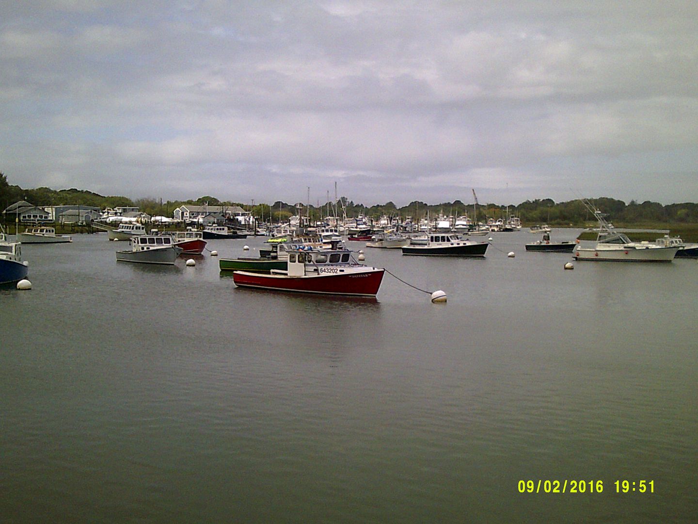
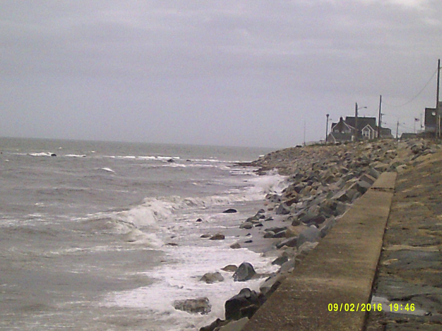
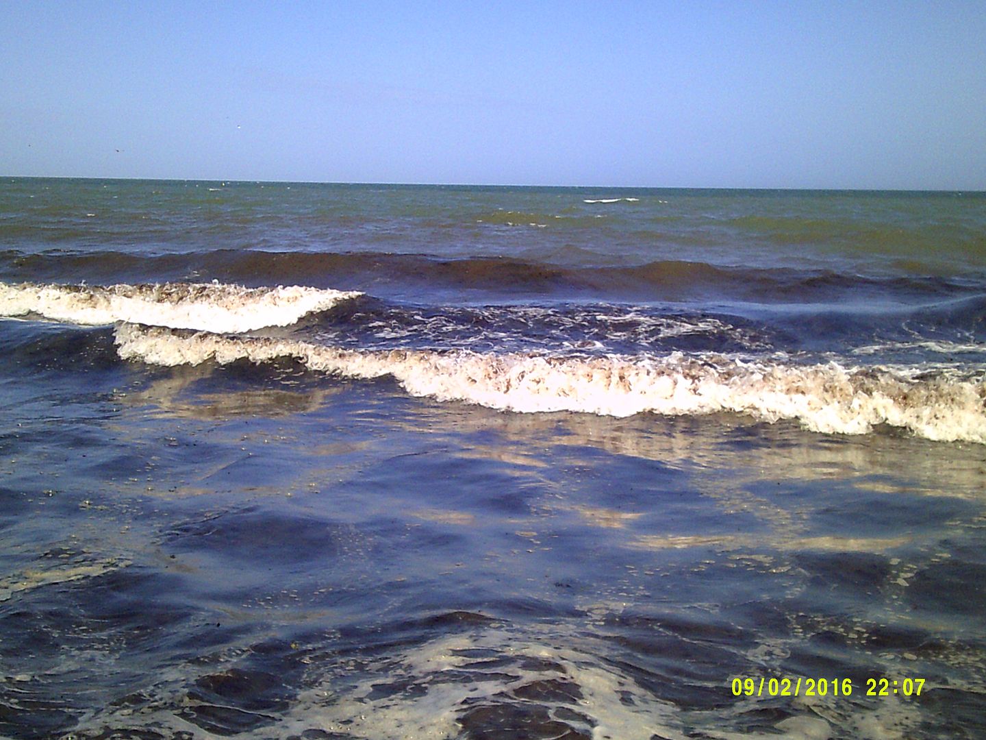
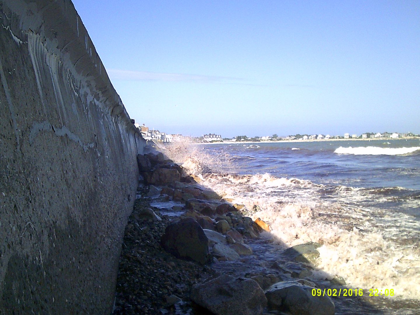
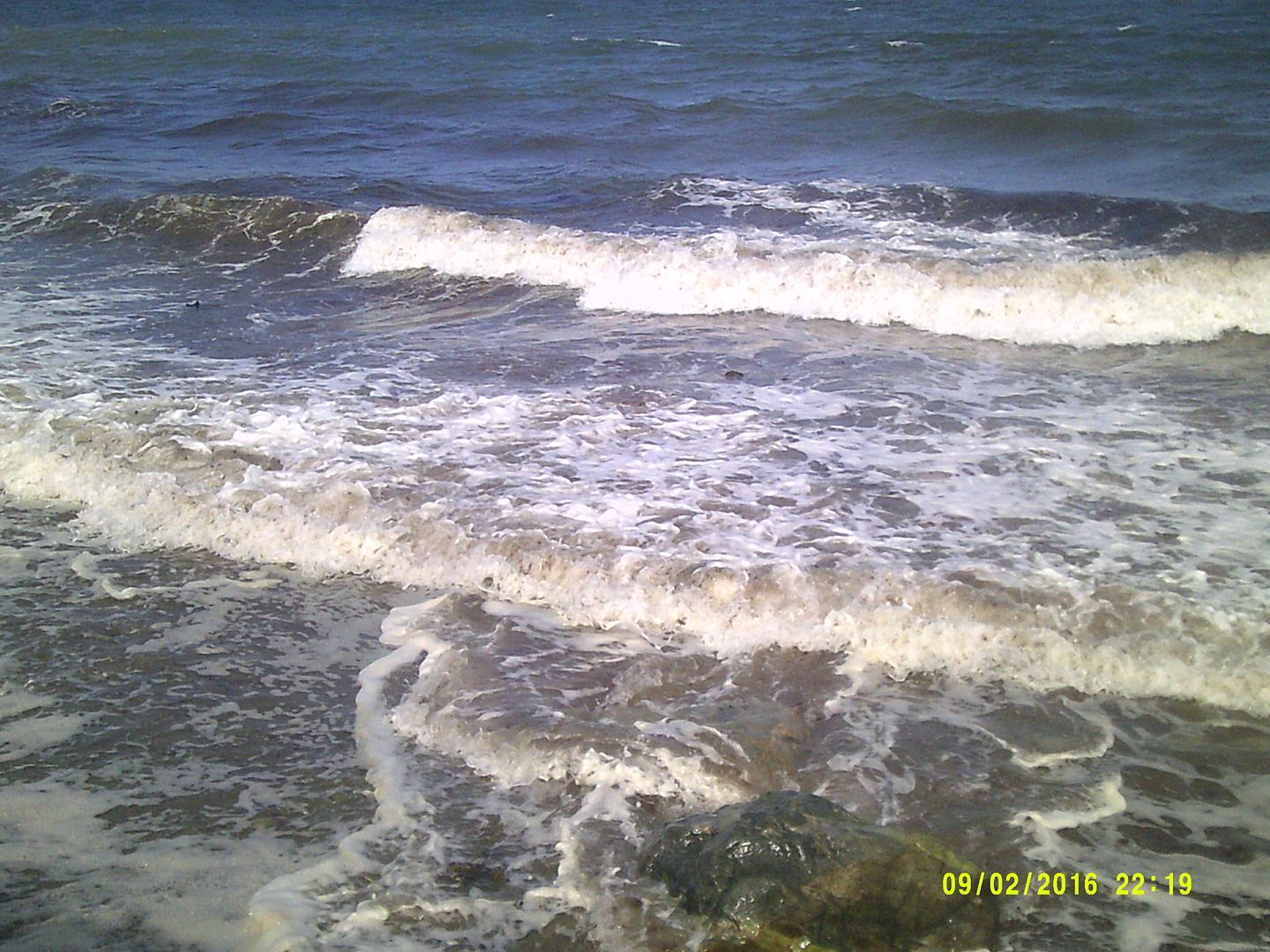
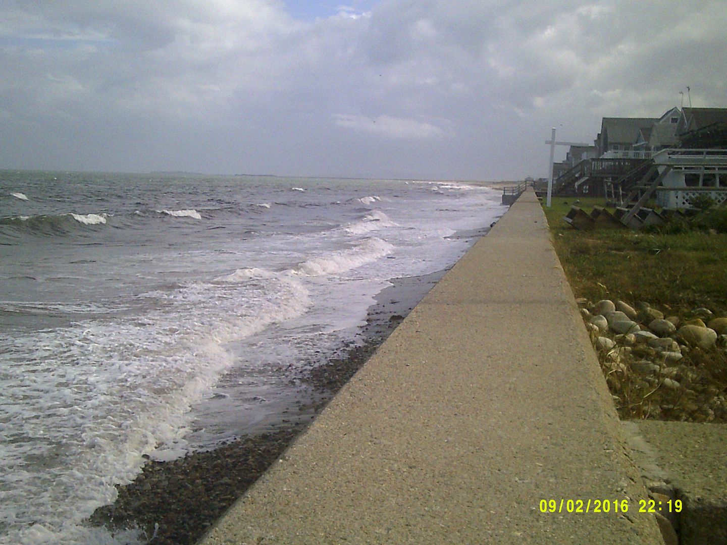
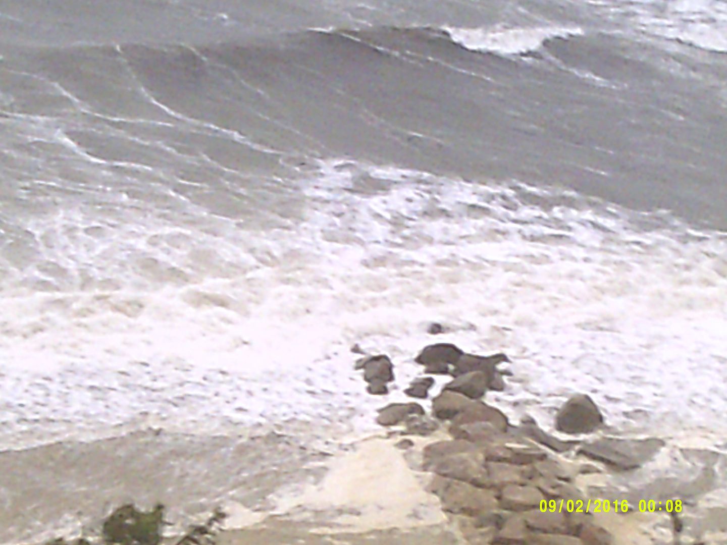
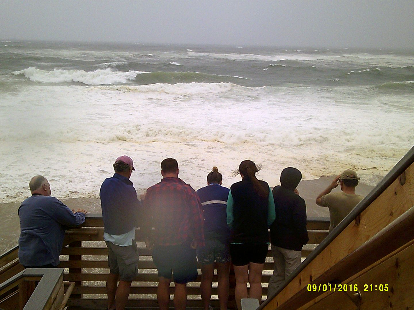
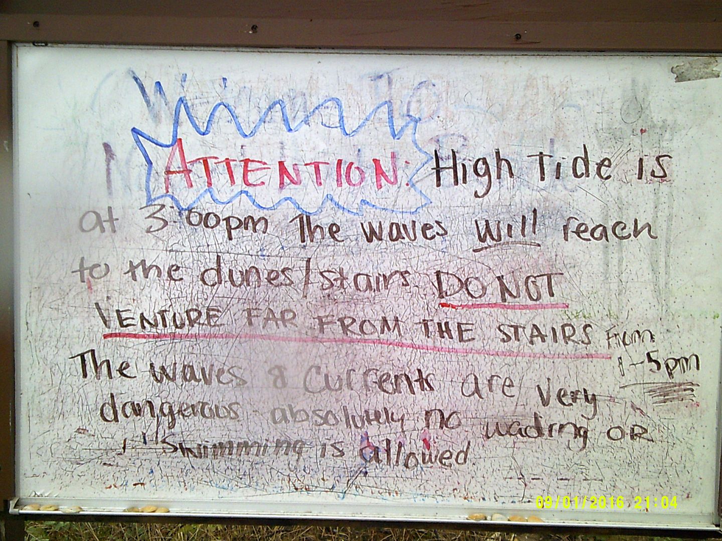
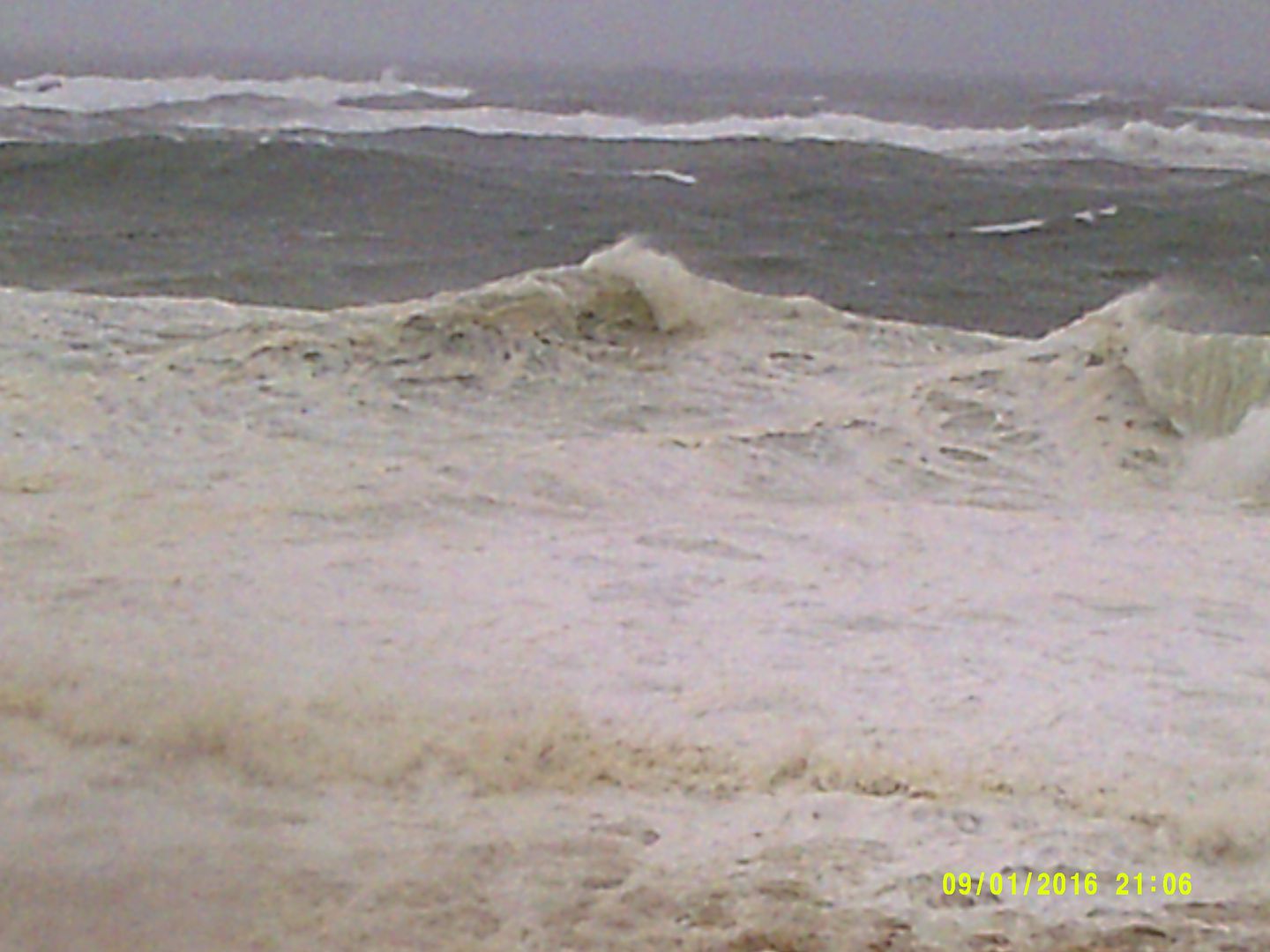
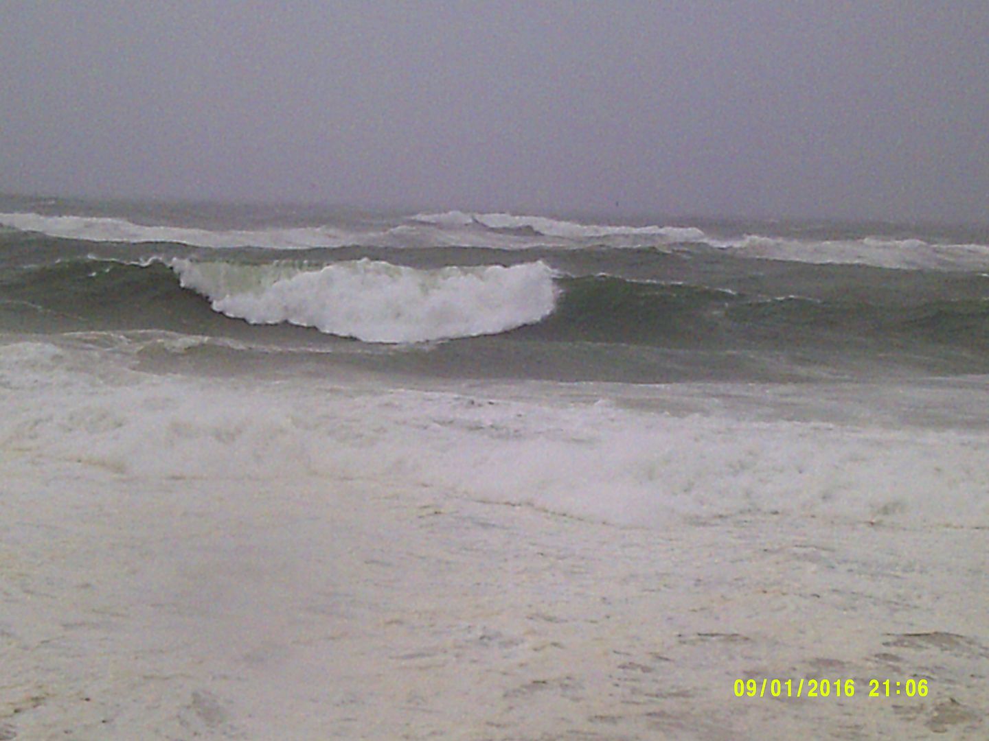
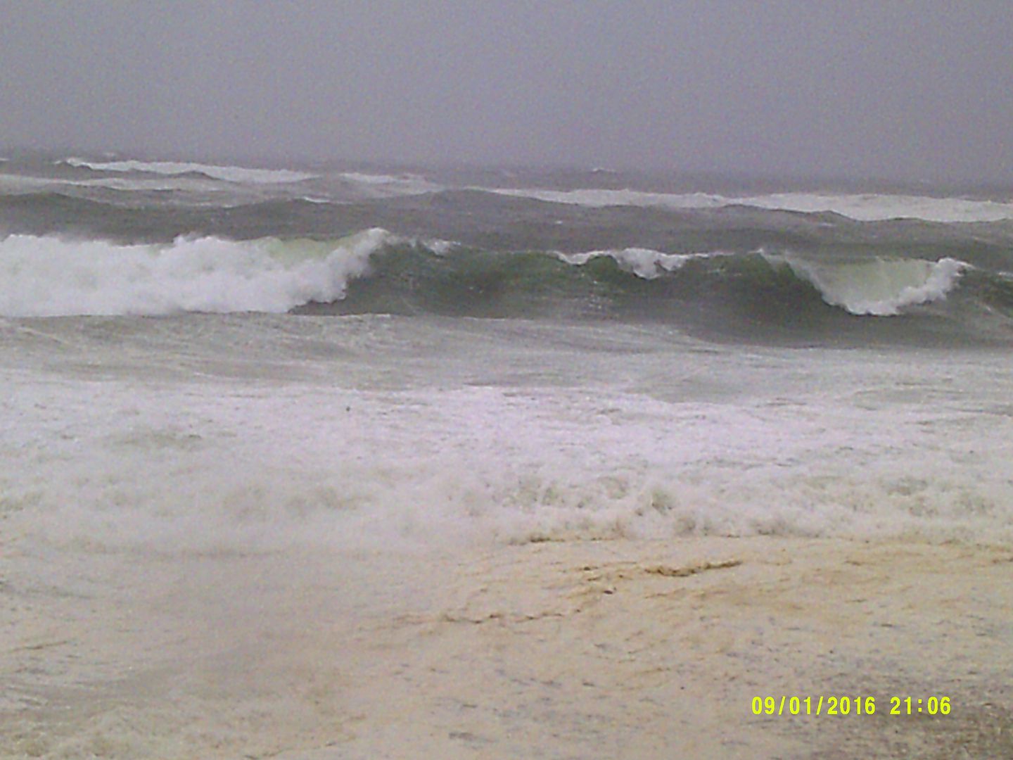
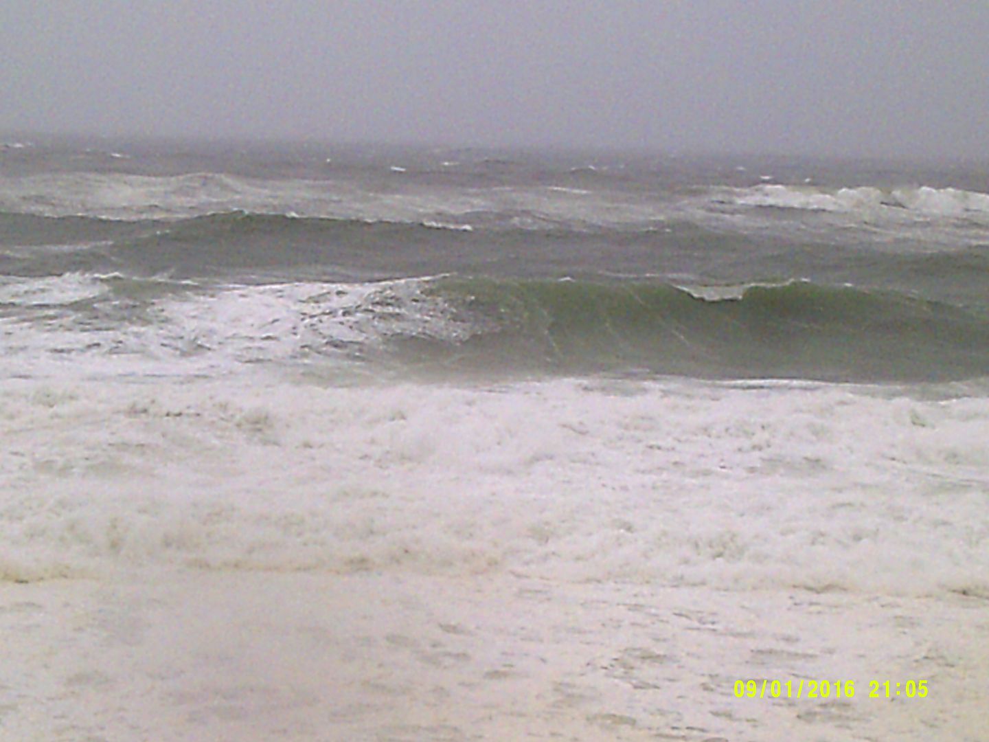
The best case scenario gives us sunny skies and maybe some good tummy-surfing waves as none of the storms come near us. The next level- which I think it most likely- is that one or two storms brush by us closely enough (500 miles) to give us rougher-than-usual surf and rip currents. Mind you, I'm not even expecting any/much rain out of this scenario.
A scenario beyond that involves a tropical storm offshore, but close enough (100-200 miles) to give us a good soaking to go along with rougher surf and rip currents. Depending on how things shake out, this may or may not be how we kick off Labor Day weekend.
The closer the storms get to us, the more the chances of action go up. As near as I can tell, Depression 8, 100 or so miles off of North Carolina as I write this, looks to be the better bet to get involved in a New Englander's life.
The worst case scenario at the moment seems to be two tropical storms flying by us in succession, maybe one rolling over Nantucket and bringing tropical storm conditions to Cape Cod. The South Shore might be out of the loop, or they may get some September surf out of it. The South Coast would get the rough surf for sure, but maybe not the 35 mph winds. The Cape would get it worse.
The whammy in that scenario would be surf. We'd get a week of pounding waves and beach erosion. This is a month and change before Nor'easter season, too.
The storm leaving Africa will barrel-ass across the Atlantic, and we'll worry about her later.
We'll keep you updated, and we're just giving you a heads up for now.