Living on the coast is pretty much the peak human condition. You can walk around barefoot. The beach is within hollering distance. You have a zillion trillion gallon outdoor pool. If you can convince a girl to visit you, she's a good bet to show up wearing a bikini... something that I took for granted growing up on a beach, and something that I was slow to realize didn't happen everywhere when I went to school in Worcester.
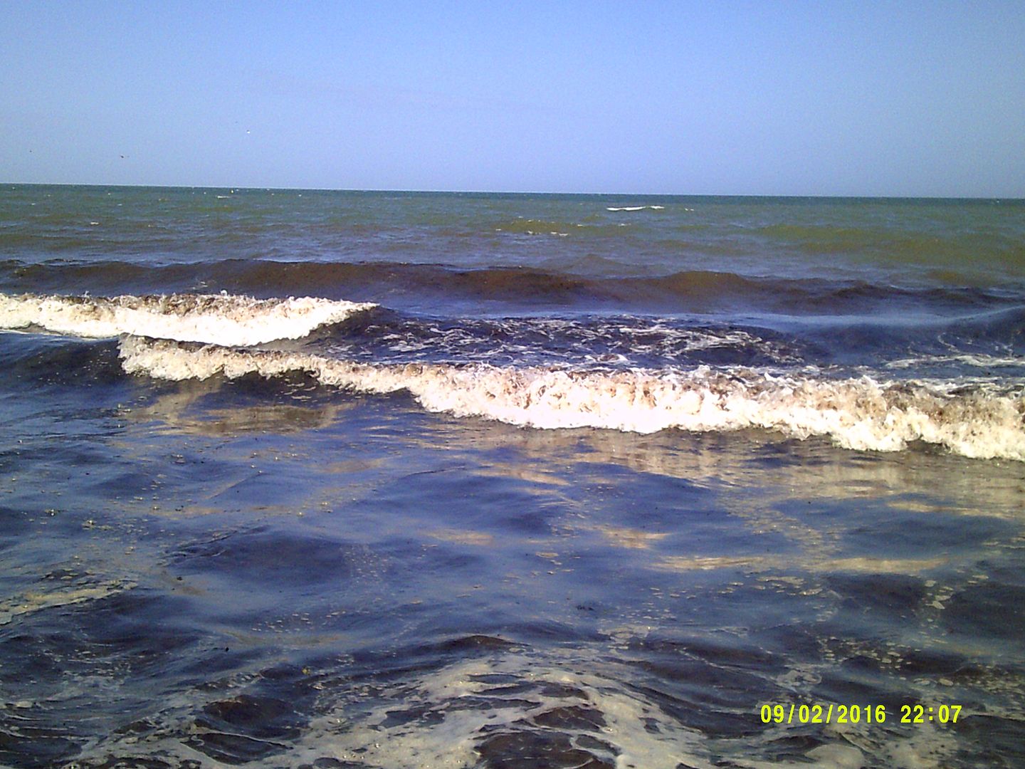
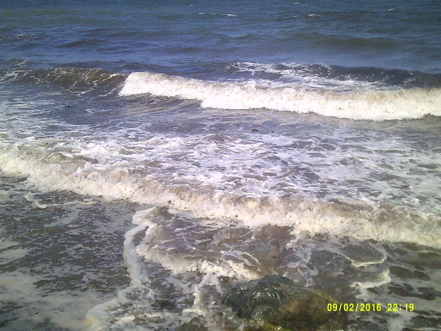
Yup, life on the beach is pretty nice. There are costs, however. That gorgeous ocean can become stormy, and stormy seas can push ashore and inflict catastrophic damage on the houses there. While giant waves can smash houses to splinters, even little waves eat away bites of the shoreline in an endless war of attrition.
You can't beat the inexorable Mother Nature, but you can hold her off for a little while. In fact, if you either A) don't care if the house falls into the sea on the great-grandchildren's watch, long after you've gone to your reward, or B) have faith that the science people will solve the problem in the future, you really have to keep the sea at bay for only 20-75 years or so. After that... SEP.
We're going to tour a few beaches before the weather gets too bad and going to the beach becomes something akin to work. As we go to these beaches, we'll have a look at methods people use to fight Poseidon.
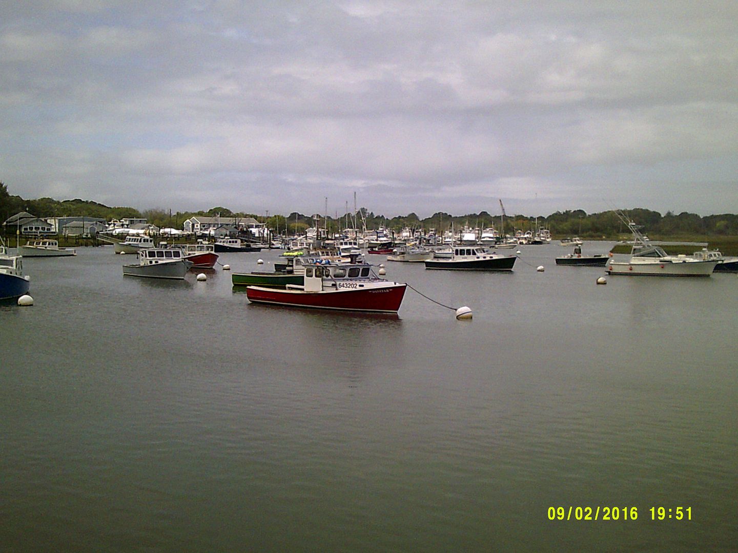
There is no consensus on protecting beaches. You can see different methods on different beaches, something you'll notice as you read the articles we write about different beaches. You can also see different methods on the same beach, something you'll notice today as we start our series off in Duxbury.

Duxbury Beach has a mix of inhabited, uninhabited and semi-inhabited coastline.
You can see several methods of erosion control at work here. We have a dune, some snow fencing, some rocks, some beach grass, some scrub pine... we could use some beach plum bushes, but this will do.
Shoot, the whole of Duxbury Beach itself is an erosion control machine, as it serves as a barrier beach for Duxbury Proper across the bay.
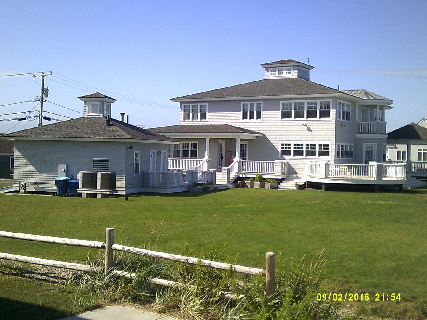
The house that you can sort of see in the picture above is the last residence on Duxbury Beach. South of that, it's all sand dunes and snow fencing until you get to High Pines.

Beaches tend to get onshore winds, and those winds blow sand across the beach. Any sort of obstruction, be it a plant or a flower or a stone, slows down the wind and allows the sand and grass to accumulate. As the sea grass spreads, the sand is nourished, and other plants begin to appear. These plants block more and more sand. Over time, a dune forms.
If the ocean doesn't interfere, the dune grows and grows. However, that's a big If.
The snow fencing probably performs some erosion control purpose, but the main one I can think of is that it keeps people from walking on the fragile beach grass.
If you need to know how well it works, here's a picture of how the dunes looked when the Trans-Atlantic cable came ashore a little bit after the Civil War ended.... which is why everyone looks like General Sickles.

Duxbury-savvy folks will recognize that this is the area where Ocean Road North and Cable Hill meet. Prior to the cable coming ashore, this area was known as Rouse's Hummock.... after some guy named Rouse.
Most of the present beach south of the Blakeman's pavillion/bath house works along this model, but the dune in this picture is more impressive than anything seen on the beach today.
The dunes are lower because Duxbury Beach suffers from vicious nor'easters. Nor'easters seem to be elementally offended by dunes, because they wash over them regularly.
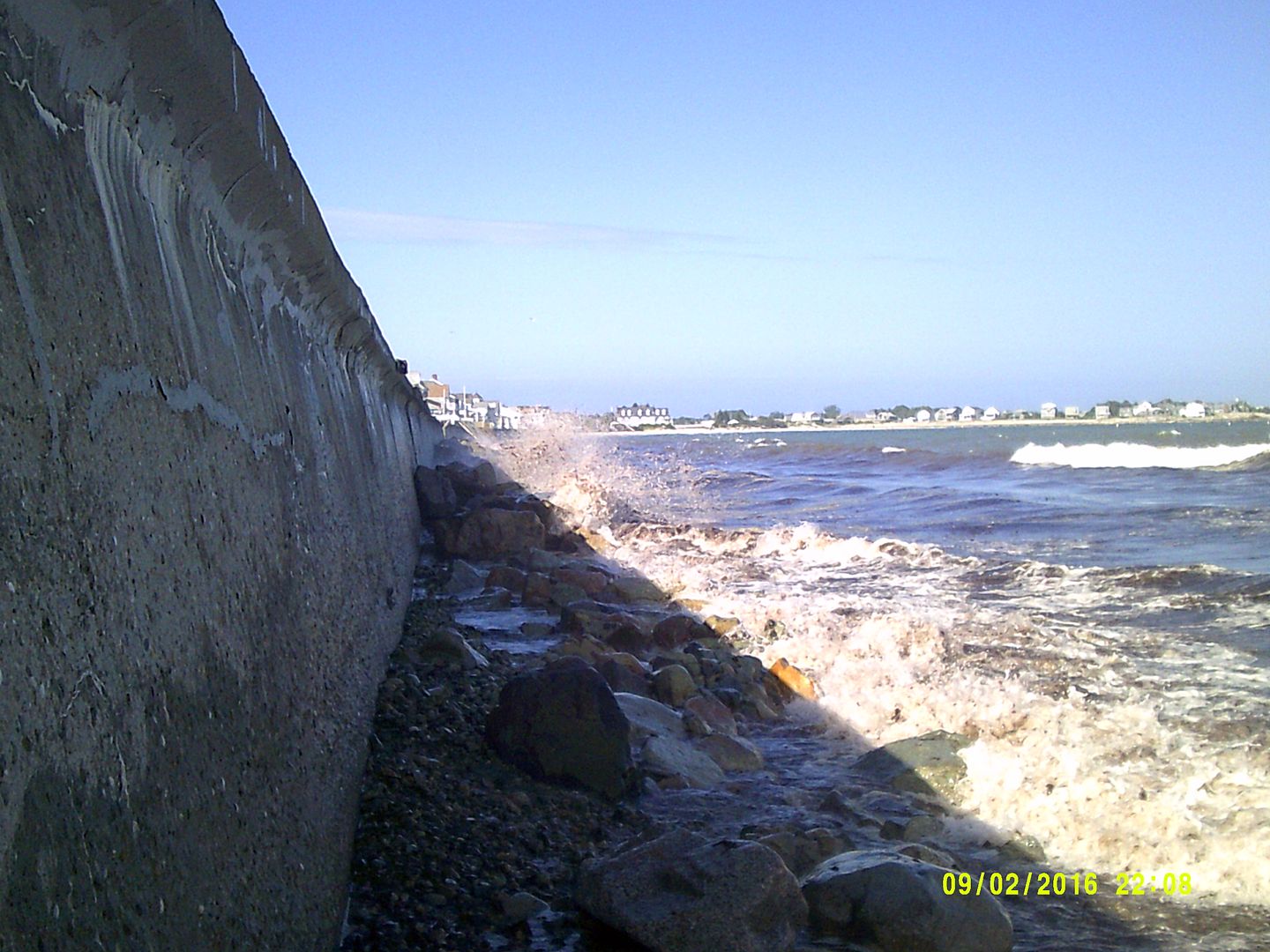
If that picture of the cable guys doesn't give you an idea how close to the water the dune is, worry you not! My house on Duxbury Beach was right about where the dude in the dark suit is standing off by himself on the top of the dune.

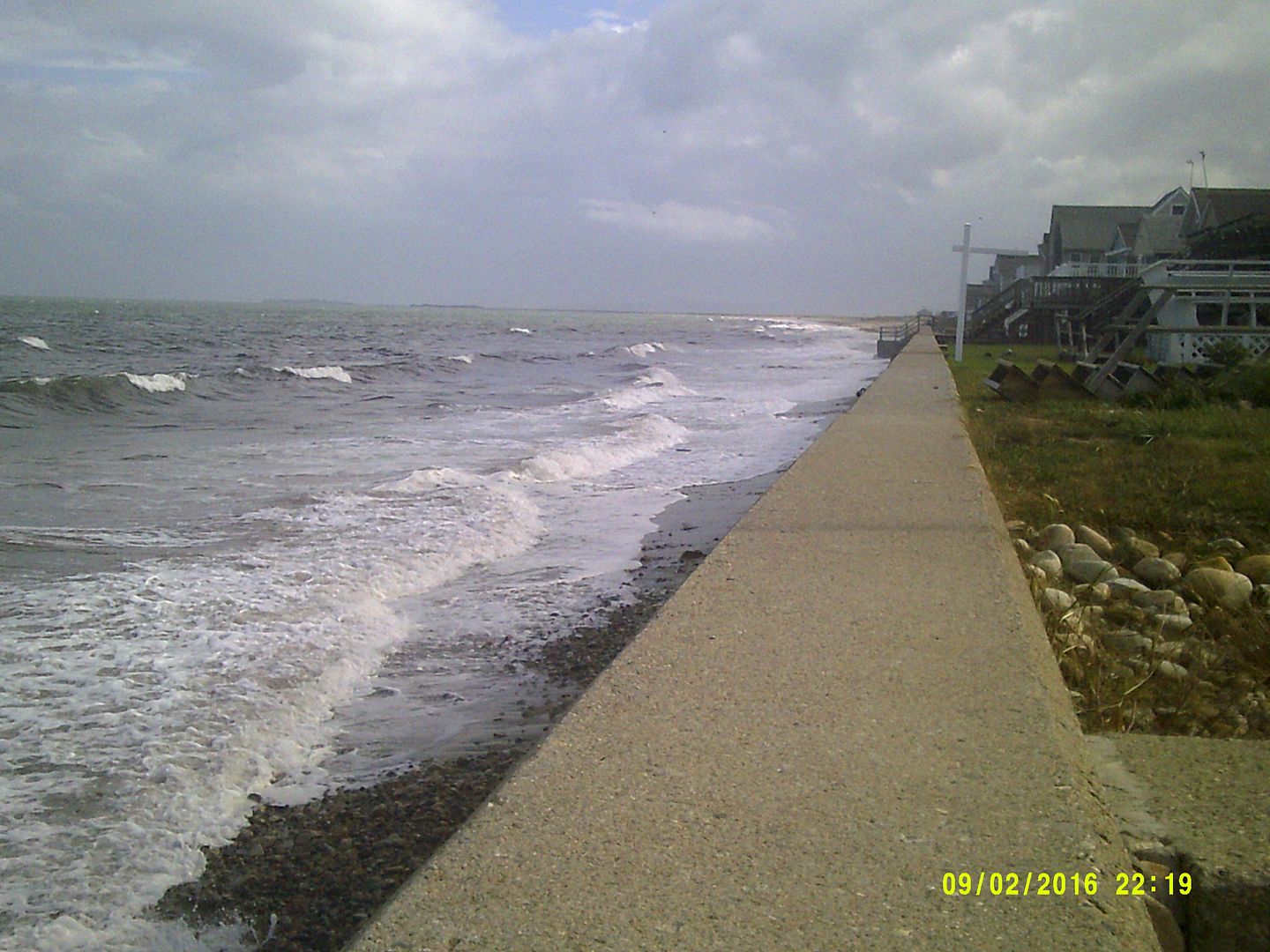
Here's a view from where he was standing 150 years later. There's a house there now, and a seawall in front of it, but those waves have been hitting the area like that once a year or so ever since time began.
There isn't much beach behind the dunes. Duxbury Beach is barely 100 meters wide at her fat points. The picture below is taken after a storm, and it is aimed at what is by far the fattest part of the beach. It turns to marsh just after the houses and trees.
Here is a picture out the back door (Duxbury Beach residents almost universally refer to the door facing the ocean as the front door, and the street-side door as the back door), showing how much slack the marsh is giving you. Much of Duxbury Beach becomes a series of small islands if the storm gets bad enough.
Post-storm, too...

Notice the shark fin in the water to the left of the telephone pole and above the hay bales? Ah, just kidding, that's not a shark.
That flood will take some time to go away, as the water table is maxed out and it's the lowest point in the neighborhood. The marsh will drain itself as the tide goes out, but the meadow is on her own.
They did lay some pipe under the road after this 2007 storm, and all but the final inches of water will flow back into the marsh through them.
Here are said pipes:

There are corresponding pipe holes on the other side of Gurnet Road. The pipes take care of the meadow and the marsh water. The waves are a whole other problem.
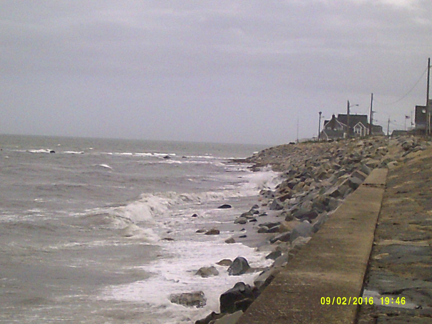
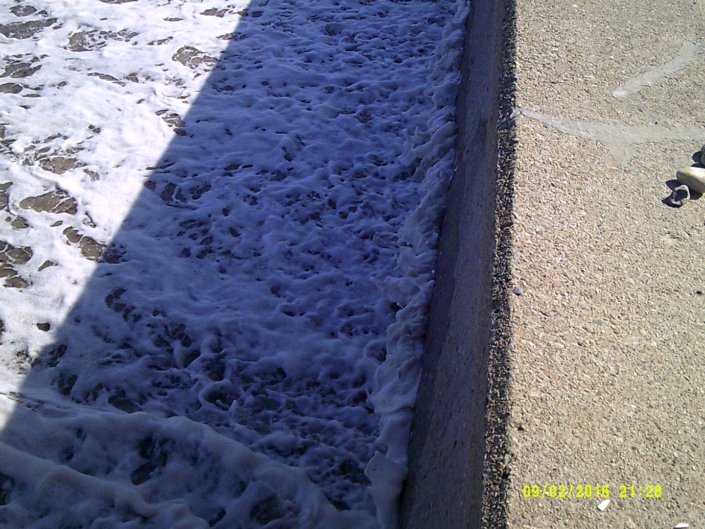
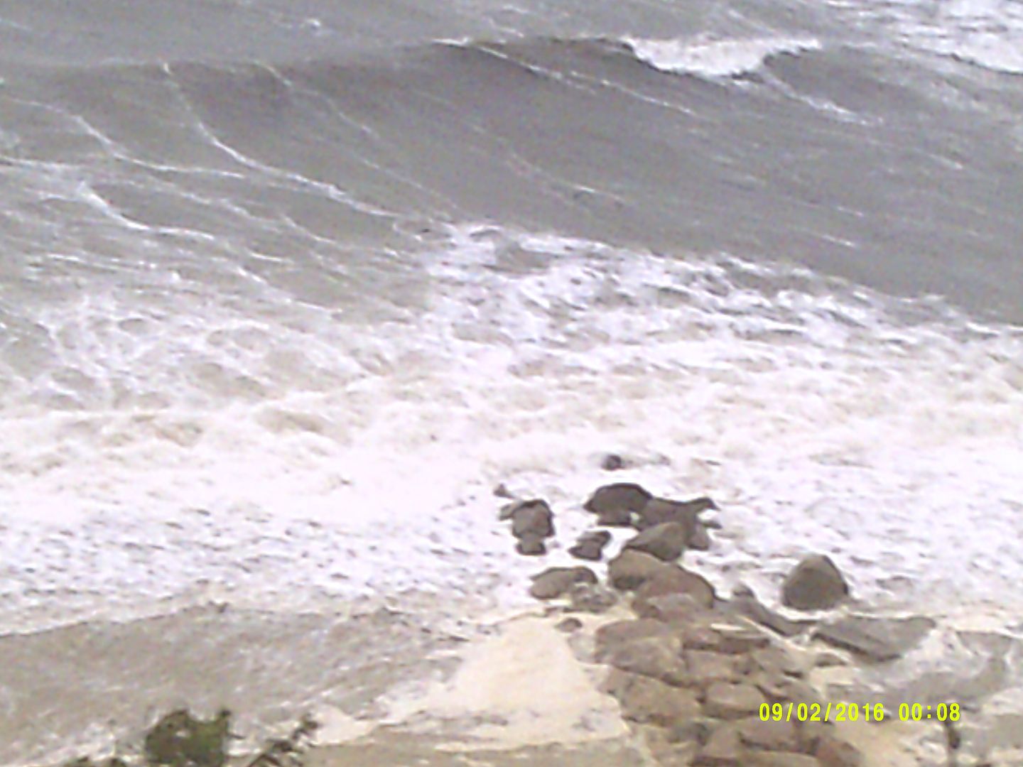
I went with the picture below because it was the best one I have that illustrates both the height of the seawall and the erosion of the sand.
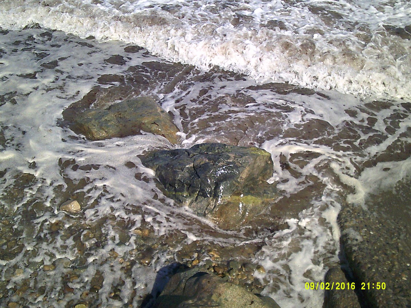
The sand depth at the foot of the seawall varies greatly, and can be augmented by seaweed and rocks. It can make a great difference in wave damage.

The seawall/sand ratio is important, as the sand is what the seawall is based in. If there isn't enough sand supporting the wall, the wall can topple forward into the sea.
The seawall blocks waves for a gang o' houses that pay a pile o' taxes into the town coffers. Many are summer residences which pump no revenue-consuming brats into the town's school systems. Hence, the armored seawall.
Here's another blurry shot, showing how the Duxbury/Marshfield line has to use boulders to help shore up the wall. OK, "shore up" is probably the wrong term here.
I'd have gone closer to the boulders to try to get a shot that showed them better, but I wasn't trying to get wet.

The seawall is the central defense for the residential area of Duxbury Beach.
It's about 15 feet tall, with maybe half of it buried in sand. It's about two feet thick. It can withstand powerful surf without breaking, although they do break now and then.
It runs in two big lines, one extending from Green Harbor to the Duxbury line, and one from 100 yards past the other one down to the end of Ocean Road South.
The gap in the middle isn't a town vs town thing, as I thought it was until I talked to some old-timers. Now, I know that the gap in between the walls exists because the homeowners there, secure on a small bluff, declined to pay the $500 fee for the wall.
Their houses are still standing, so they currently are having the last laugh. Others are doing for self:

If you go there just after a storm, you get the virgin snowfall-looking sand cover.
It costs a pretty penny to put up your own seawall.
Q) Reason?
A) It's worth it.
This sort of DIY seawall, while very fine-looking, makes up about 1% of Duxbury's seawall shield.

Seawalls can only do so much. A powerful storm surge can make the ocean level with the seawall, and then the waves are rolling straight into the houses.
Some houses still have cellars, but they are a dying breed. You need sump pumps to get the ocean water out of them (I had a beach cellar, and the water came in through the windows, through the floor, and through the walls in the Blizzard of '78 and the 1991 Halloween Gale), and I neither have any pictures of sump pumps nor any desire to look for a Sump Pump video. You'll just have to take my word for it.
Any modern housing constructed on the shores need to be on pilings. This lets the water rush under the house rather than through it, which provides some comfort for the house and saves the lives of the homeowners.

This is a pretty good strategy, as I was trapped in my house on Duxbury Beach for the Perfect Storm in 1991, and I saw houses get torn apart by the surf. I also saw houses get lifted up by the surf and washed back into the road.
Stilt housing came into vogue shortly after that, and none of them have been knocked over yet. They have worked their way into the front line of housing along the coast.
There is some debate, mostly among people who were living on the beach for the peak storm activity of the Halloween Gale and the Blizzard of '78, as to whether the stilt housing will hold up against a 100 Year Storm.
Much like the Blizzard of '78 finished off the dune houses on Duxbury Beach, the next hurricane-force storm might finish off traditional-foundation style housing. Again, only time will tell.

Breakaway stairs are also useful.
They are made light enough to either
A) pull them up onto the wall by hand,
or
B) drag them back to your house with a Jeep if you got lazy or sloppy and forgot to do option A.
There is an option C, but that involves building the stairs out of mortar and cast iron. You don't have to pull these stairs up if a storm comes.

Pic by Sara Flynn
Be sure to check out our Plymouth version of this article.