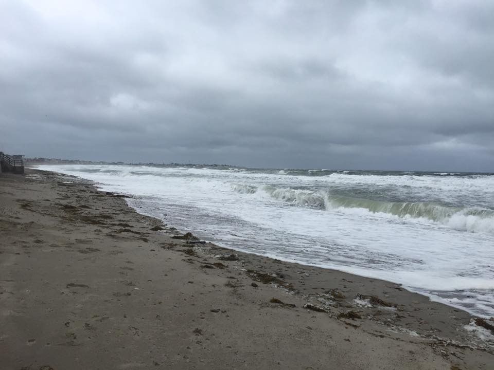
|
| Duxbury Beach, MA, courtesy of MSP |
Shark attack.
It's not anything that a rational person worries about. There are some well-worn statistical trends that put it in context, the ones where you are less likely to be eaten by a shark than you are to be hit by lightning, run over by a snowplow, shot mistakenly by a Crip and so forth.
There have been 1974 shark attacks in American waters since 1900. Less than 10% (160) have been fatal. I know this because I am reading the Shark Attack Database, and you aren't... OK, I'll share
the link, stop hatin.'
You are twice as likely to be killed by Al Qaeda than you are by a shark. Adam La
nza has killed more people this century than sharks have. Humans aren't a primary or even secondary food source (we're not meaty enough, and our bones make us tough to swallow... sharks aren't built to eat us, although we pass in a pinch) for a shark, and any attack on a human is most likely a mistake.
It does happen, however. It happens right here in Massachusetts. OK, offshore a bit, but in our territorial waters. We're here today to tell you about the times when sharks killed people in our general area.
 |
| caught off Duxbury, MA, 1938 |
I do lack complete information on how many shark attacks there have been in Massachusetts history. I have some good excuses.
One, the Native Americans no doubt lost a few tribesman to the White Death, but their records don't end up in the Google search results a lot. The white man's time running Massachusetts is just a blip on the map when compared to the time it was owned by the Other Man, we'd be like a minute in the day on that clock. There are probably old trees who still think of Plymouth as Wampanoag territory.
The natives did a lot of paddling in the local waters, and I have no doubts that a few of them got a Chomping for it. I can find no records of it, however. There are records of shark attacks in Spanish New World histories, usually on pearl divers. Natives had pollution-free rivers teeming with fish, and didn't need to take to the seas like Europeans did... but they did get dined upon. Those numbers probably build up to impressive totals after a few thousand years.
Another reason my totals are incomplete is because, while fatal shark attacks are always big news, minor ones are not. In the CNN era, every shark attack is national news in a few hours. Back when some 1700s fisherman got maimed off the Gloucester coast, it remained an isolated event. Even if it is big news at the time, it may not enter into historical record.
The mention of fishermen also brings about the question of how far offshore a shark attack can occur and still be counted as Massachusetts. At least one that I will be counting happened several miles offshore. No, your great uncle from Worcester who was on the
Indianapolis doesn't count.
A flaw in the numbers (that I'm aware of, there may be more) is that shark attacks are not always framed like Speilbreg movies. Many are simple bites, in cloudy water, at night, by a fish that is gone before you can look. It could be a shark, but it could also be a bluefish, a striper or a score of other fish. That was falsely rumored to have happened on Cape Cod or Dartmouth within the last decade or so, and I don't think there ever was 100% agreement on what bit the guy.
That brings up another dark question. People go to sea and vanish now and then. Can we assume that every shipwreck victim drowned or died of hypothermia? Maybe some of them became meals. How often do you see a case of someone disappearing in the water, someone who was said to be a strong swimmer? Sometimes they just had heart attacks while swimming, but sometimes they didn't...
Here are a few stories we can be more certain about, stories where someone local had to pay the Swimmer's Debt. As Hunter Thompson once said, "
Civilization ends at the waterline. After that, we all enter the food chain, and not always right at the top."
 |
| A police helicopter searches for the kayak-eating shark off Plymouth, MA |
NEW YORK CITY
Yes, all shark attack histories of Massachusetts start in New York. We'll also get to New Jersey before this article is over, and maybe North Carolina.
New York and Massachusetts can be far apart culturally, especially when the baseball teams play. That means very little to a fish, however. It's merely a day's swim from Long Island to Cape Cod, and all of you people taste the same anyhow.
In 1642, while the rotten apple was still Dutch, word of an English expedition spread to Peter Stuyvesant. Peter ordered his trumpeter, Anthony Van Corlaer, to roust the sleeping villagers. He went down the bank of the East River like Paul Revere, waking the settlers. Upon reaching the northern tip of Manhattan, he decided to swim across to the Bronx.
It was a stormy night, and people urged him to reconsider. Ant was having none of that, however. He then spoke the worst sentence of his soon-to-be-over life, vowing to get to the Bronx to spite the Devil.
You don't get to be the Devil by letting people talk sh*t about you like that, and the Prince of Darkness, if you will pardon the pun, took the bait... the bait being Van Corlaer. Witnesses report seeing "the devil appear in the form of a giant fish," chomp down on the mouthy trumpeter, and pull him beneath the waves.
Another version of the story has Ant letting off a blast from his trumpet as the leviathan grabs him. The blast scares the fish away, but Ant succumbs to blood loss, exhaustion, hypothermia or some combination of the three.
Other versions have him drowning, but those are no fun.
The inlet is now called Spuyten Duyvil... Dutch for "
Spouting Devil."
It may have been a Great White, but the East River location also speaks strongly of the possibility of the perp being a Bull Shark. Bull Sharks like rivers, and can make a pretty good claim for the New Jersey attacks that inspired
Jaws.
The attack is notable for two reasons. First, it puts a firm dividing line down between Native American and European shark attack histories. Attacks in America enter into the historical record from this point.
More importantly, it proved that American sharks like white meat... and white meat was going to be on the menu in America from now on.
 |
| Mashnee Neck, MA |
BOSTON HARBOR
The
Shattuck family is well-known in Boston, and they got really well-known in 1730 or so (the exact date is touchy, but the victim had a a kid born in February of 1731) to the point where they still get press today.
The Shattucks had a lovely young daughter, Rebecca. Her charms proved to be too much for a London businessman- Alexander Sampson- to resist. In town for a business visit, he became a resident after meeting the fetching Miss Shattuck. Marriage and children followed.... he cranked 3 kids out of her before she was 20.
Life was good until he took a pleasurable excursion by boat on Boston Harbor. He then went
in Boston Harbor when a giant shark swamped his boat. Mr. Sampson couldn't get out of the water, and was devoured. "
Ye greate Fish doth fochked up Mr. Sampson," or something like that.
Great Whites have some history of attacking smaller boats with the intent of knocking the people out of them. Boston is within the natural range of the Great White. New England's two alphas had met on the battlefield, and the one with the legs and and hat ended up as lunch.
It was at this point that scientists began to speculate that sharks were somehow offended by fishing. OK, I just made that up.
BRISTOL HARBOR, RHODE ISLAND
This one is almost Massachusetts, as Bristol Harbor is just across Mount Hope Bay from Fall River.
A boy swimming off a fishing vessel was snared by a large shark, which took him underwater and vanished before rescuers could arrive.
When the boy's body was found a few days later, it was armless, legless and lifeless. This was 1816, if you're keeping score at home.
I have read about this and a Connecticut attack, and the Connecticut attack may have been someone mistaking this one for the Nutmeg State. Connecticut has had 9 shark attacks in her history, none fatal.
A reason that I feel this case and the CT one are the same is that both cases involved a black child swimming in from a fishing boat. Sharks like people of all colors... although they only take the wings from black people, at least in New England.
 |
| Duxbury Beach, MA |
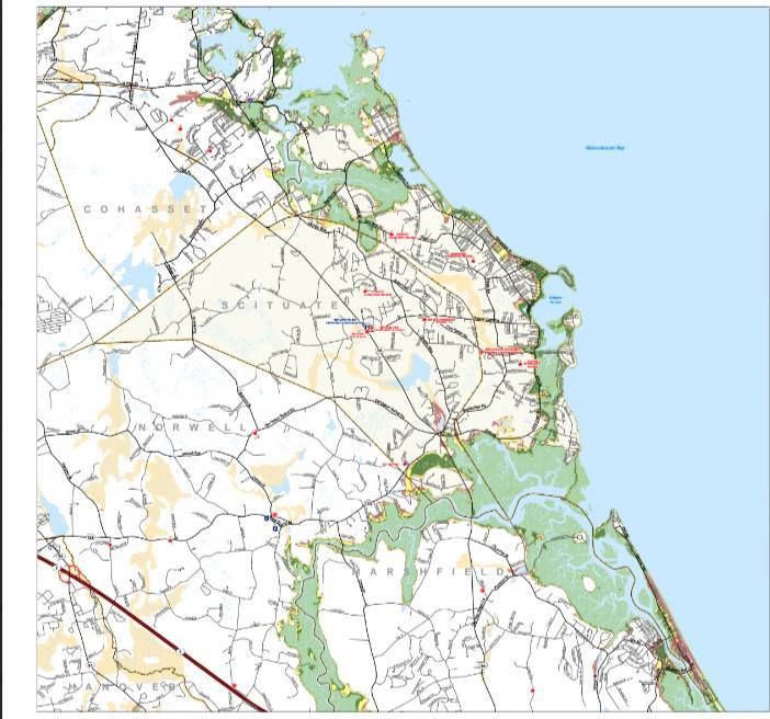
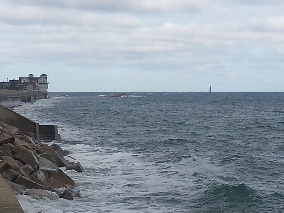
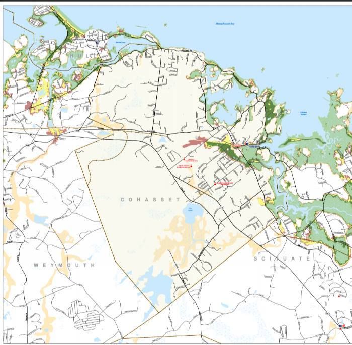
SCITUATE
Scituate (pronounced sort of like "
sit chew it", but not really) has a deservedly fine reputation as a and perhaps the coastliest town in Massachusetts, at least south of Gloucester.
They have fishing, shipbuilding, beachcombing, clamming, surfing and anything else you need to be nautical. They are the go-to town for local news camera crews seeking nor'easter damage shots. Two
Scituate schoolgirls chased off a storm of mercenary Brits with a drum and a fife once in 1812, in case you think people are p*ssy down there or anything.
The sea meets the land in a hard way in Scituate, but the action we speak of today went down 5 miles offshore in 1830. This attack is mistakenly called the Swampscott attack now and then, as the ship in question (the
Finback) set sail from Swampscott. This is also mistakenly cited for a shark attack 20 miles south of Lynn (by an 1897 account in a Wisconsin newspaper) in some shark attack databases.
Five miles off of Scituate, a guy who was 99.9999% done using the name Joseph Blaney took a small dory away from the
Finback to do some small-scale solo fishing. Shortly after, he was seen waving his hat in distress. He appeared to have an injured arm. Help was sent, but before it could arrive, a giant shark was seen lying amidships across his dory. Blaney survived the first attack with an injured arm, but the whole boat was then taken under in a second attack. The boat came back up in a foam, but all of Mr. Blaney that came up was his hat.
These were, as
the page I'm stealing this from said, times of wooden ships and iron men, so- naturally- the brother of the victim rounded up a sea posse, returned to Scituate, and hunted down the fish in question. Just to be sure, they caught two Great Whites, including a 16 footer that was too heavy for them to hoist on board.
They dragged the smaller one back to Swampscott, where they let the Blaney widow slap it. It was then taken to Boston, where you and a friend could view it for a quarter until the carcass was dumped back in the sea. In a mistake common at the time, the shark (like any other large shark seen at the surface) was called a Basking Shark.
If you tweak a few details and mix in the New Jersey attacks of 1916, you basically have the complete plot of
Jaws. I have a few questions about that I'd like to ask that Peter Benchley fellow... what's that? He's dead? Never mind.
 |
| Duxbury Beach, MA |
WEEKAPAUG (AKA NOYES POINT), RHODE ISLAND
You knew Rhodey was getting back in the mix at some point. Are Eye has had 7
shark attacks, with two fatalities. The non fatal attacks range in severity from "lacerations on thighs and feet" to "overalls torn." Providence, Coddington Cove, Patuxent, Port Judith and Parts Unknown hosted the other minor attacks.
Blood spills in Rhodey, though. In what will prove to be a repeatedly bad decision throughout this article, two guys took a small dory and put a little space between themselves and the larger fishing vessel they were occupying in 1895. One of them- Charles Beattie- then multiplied the risk by going swimming off of the small dory. He came up in distress.
His friend threw him an oar and jumped in to save him. Remember, this was before
Jaws (before movies, even), and people didn't instinctively fear sharks. A very literate man at the time may have thought Moby Dick had arrived. The rescuer lost a tug o' war with a human rope to the shark, who pulled Beattie under and got to snackin'.
The shark was never actually seen, but sharks had been captured in the area prior to the attack, and you have to call a duck a duck once it quacks enough.
Weekapaug was known as Noyes Point (a Mr. Noyes was a prominent Rhodey Resident at the time) for much of her pre-20th Century history, and the account often is found listed as going down at "Noyes Point."
Weekapaug is also the source of a
Phish song, and the town is referenced on
Family Guy now and then.
MAINE & NEW HAMPSHIRE
Maine and New Hampshire have not, according to the Shark Attack Database, had a shark attack in their histories. This includes non-fatalities.
Although both states have cold Atlantic water suitable for Great Whites, they have been safe so far. Cape Cod serves as a barrier beach for them, to a certain degree.
Keep in mind that New Hampshire has like 10 miles of coast, and Maine is inhabited by hardcore lobstermen (and women) who probably don't call a scientist when a shark bites them on the hand. They fix that
ish themselves, most likely with random stuff from the boat and sea dog savvy.
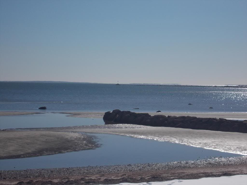
 |
| Mattapoisett, MA (I went in the winter, sorry for the snow) |
Mattapoisett
This sleepy little town on
Buzzards Bay got hit up with a
nasty attack in 1936. This attack is often ascribed to Bu
zzards Bay, which is correct in a body-of-water sense but not in a name-of-town sense. The village of Bu
zzards Bay is actually on the other side of Wareham from Mattapoisett, but that matters very little to a shark.
The Mattapoisett maiming is, to my knowledge, the most recent fatal shark attack north of Carolina. It took a Dorchester kid who had no idea what shark attacks were and made a historical footnote out of him.
It's good to be famous, generally... unless you're famous for being in the Shark Attack Database. That's bad.
Joseph Troy was swimming out to meet a boat that was off of Holly Wood Beach in Mattapoisett with a friend. Troy was se
ized by the leg and pulled below. He resurfaced momentarily, unconscious and mortally wounded. He was brought to shore, and sent to a New Bedford hospital. He died during surgery.
Swimming had only enjoyed widespread popularity for a half century or so before Troy was attacked, and that all came to a halt for a while once the details of Troy's attack became known. A chunk of meat "
the size of a five pound roast beef" had been torn from his thigh. Troy regained consciousness long enough to let the doctor know that the scariest part was being dragged down into the sea, away from the sun.
This sort of closed the books on shark attacks in Massachusetts for a while.
These stories make me nervous, because the last two fatal shark attacks in Massachusetts went down a bit north of my old house and a bit west of my current one. It's like the damned things are
triangulating me.
 |
| Holly Wood Beach, Mattapoisett, MA |
MODERN TIMES
Massachusetts, and New England in general, had a lull in shark activity after the Mattaposett mauling. Seals had long been an enemy of the local fishermen, and bounties drove down their numbers wildly. With the food source gone, the shark activity lessened in our waters.
The seals have been coming back recently, as it is now illegal to shoot one if anyone official is looking. With the seals come the sharks, and- lo and behold- people are swimming in record numbers this time around. There's a very real chance that Troy was the first human the shark who killed him ever saw. That won't be the case now.
Massachusetts has had several high-notoriety shark attacks recently. We've had
10 shark attacks in our history, and one- 40 miles south of Nantucket- almost doesn't count. A trio have been fatal, and we have already discussed them. The other six went down off Nahant (1922), Rockport (1965), Truro (1996), Chatham (2001, about when the seals started coming back), Truro II (2012) and Manomet (2014). No fatalities went down in these attacks.
Nahant involved a pack of sharks damaging the stern of a boat. A four-foot shark attacked the Rockport victim while he was scuba diving, and he was bitten on the leg. The first Truro attack victim was ridiculed for his report, with locals telling him he was bitten by a bluefish. History vindicated the victim, and the database lists his attacker as a 6 foot Great White. The Chatham attack involved a 14 foot Mako slamming into a fishing boat, no injuries.
 |
| Duxbury Beach, MA, courtesy of Sara Flynn |
Another fish bite wound- off a Dartmouth beach- may have been a shark, but it doesn't make the database. It could have been a seal, a bluefish... only one God and one fish know for
shore sure, and neither of them are talking.
The second Truro attack involved a Great White sampling the legs of a boogie boarder. People stopped laughing at the 1996 guy right about here. This was the first confirmed attack of the modern Seal era, and a taste of things to come.
The Manomet attack involved a Great White (almost certainly the one seen swimming off of my old Duxbury Beach house a week earlier) knocking two women out of a kayak. The girls had been checking out seals up close, a very bad idea these days. They escaped with a scare, although the kayak had a bite taken out of it.
However, any modern shark attack- even one where nobody was harmed- will surpass the fatal ones of bygone eras in impact. A well-shot video of an attack on a Cape Cod beach would get like 10 billion views, and might fatally wound tourism as an industry on Cape Cod. "
We dare you to swim in our shark-infested waters" is hardly a good ad campaign title.
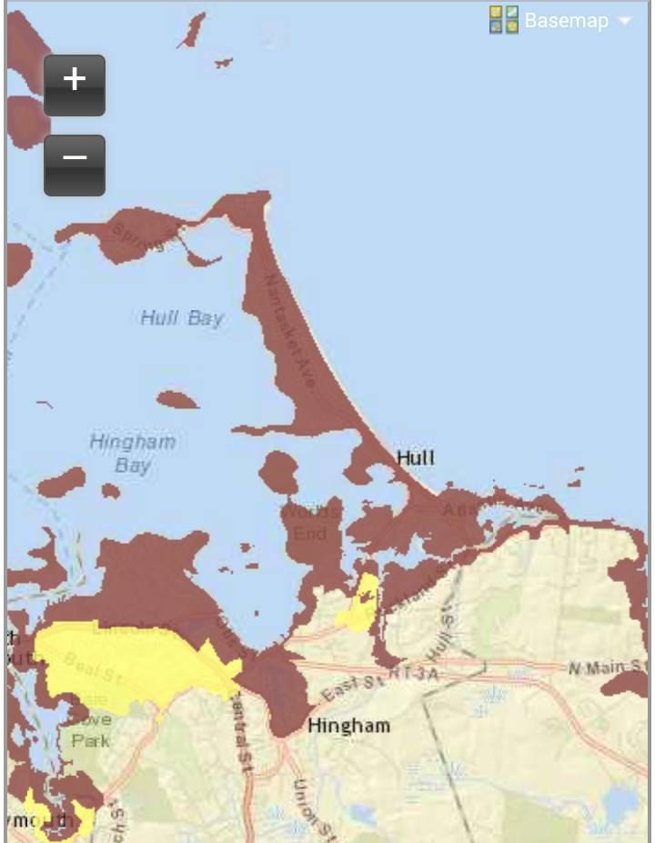
The seals- and the sharks- aren't going anywhere. Experts like Dr. Gregory Skomal fully expect them to diffuse into Cape Cod Bay as the seal population expands. This will put big Porkers off of Duxbury, Plymouth, Bourne, Marsh Vegas, Kingston, Sandwich, Barnstable, Hingham, Scituate, Cohasset, Hull, Quincy, Weymouth and even Boston.
Every town I listed is a popular beach locale, fully stocked with swimming humans. We're very much due for another fatal attack, if you crunch the numbers the right way. Take solace in the numbers, do nothing at all seal-like, and stay alive long enough to read the Shark Week articles we'll be dropping later in the week.
Bon Appetit!
 |
| Duxbury, MA, courtesy of the Massachusetts State Police |