Before we start the discussion, we want you understand a few facts about the likelihood of suffering a shark attack.
You're significantly more likely to win the Powerball than you are to suffer a shark attack.... shoot, like 30-45 people win the Powerball every year, which is about 50 years worth of American shark attack deaths. More people have put Lindsay Lohan on the D Train to Pound Town than have been killed by a shark this century.
If you're worrying about a shark attack, stop. You need to instead prepare for the lightning bolt strike which- however unlikely as it may be- is much more likely to kill you than a shark is.
This "Top Ten Places" list goes to 10 even though we have had less than 10 shark attacks in Massachusetts white-guy history.
If you ignore reputations and just crunch the actual numbers, I would not be at all surprised to find that the shark which has killed the most Americans is the Loan Shark.
That said, being devoured out of nowhere by a station wagon-sized monster with 250 teeth is nothing that you want to experience. If it can happen, and even if the odds are as slight as can be, there must be steps you can take which will lower those odds in your favor.
One step we can give you, beyond obvious ones like "Never swim if you have just been stabbed," "Do nothing at all seal-like" and "Get out of the water if you hear alternating tuba notes start playing" are simple ones that you probably already know. If you don't know those rules already, there isn't much that we can do for you.
What we can do for you is tell you which beaches to avoid, and why.
1) Monomoy Island, Chatham
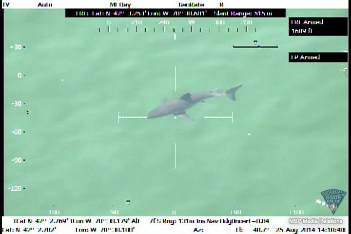
If you need the Why for this one, just do a Google Map of the area and zoom in. You'll soon see little black marks all along the shoreline, thousands of them. Those are seals.
Seals are shark food, and everywhere the seal went, the shark was
This is the gold mine if you like Great White Sharks. It's also a rotten place to swim, especially if you have even one seal-like trait.
Chatham in general is very lucky that sharks don't like People Food. It remains the only viable location on Cape Cod for a sharknado to happen.
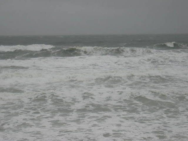
2) Ballston Beach, Truro
In spite of her fearsome reputation, the only recent shark attack on Cape Cod was a 2012 attack on a boogie boarder off of this Truro sandspot.
The victim was 400 yards offshore, near where the seals hang out, and paddling around in a manner that he had no way of knowing would register as "injured seal" to the monster shark swimming under him.
He managed to kick it away before it killed him. He described kicking it as akin to kicking "an underwater refrigerator, with skin." It maimed his leg.
3) South Beach, Edgarton
One of... no, scratch that... THE most famous shark attack of all time went down here. The victim was Chrissy Watkins. She was torn to pieces by Bruce, who is the world's most famous shark.
The fact that the attack which I'm referencing is the opening scene from Jaws will in no way prevent us from ranking this beach right near the top.
Joseph Sylvia State Beach in Oak Bluffs is where the Alex Kintner attack went down, but that one didn't have a nude 1970's chick.
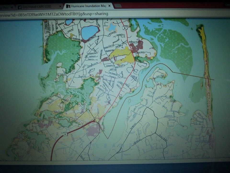
4) Nauset Light Beach, Eastham
The whole run of the Outer Cape is a high risk area, as the sharks who get bored of Chatham can head up the coast for a little variety.
This is one of those beaches that you see mentioned on the news with "was closed after a 15 foot shark was spotted offshore" following it.
5) Manomet Point, Plymouth
This is where the (current) most recent shark attack went down. A porker rose up out of the water and chomped on a kayak, dumping the two pretty kayakers into the water. Concluding that humans taste like a kayak, the shark swam away and left the girls unharmed.
That's a pretty impressive resume line, which is why beaches in Chatham and Wellfleet are looking up at America's Hometown.
6) South Beach, Chatham
When you get attacked by a shark here, he's usually not pleased. When he got his rooming assignment, he was like "Yeah! South Beach! Miami, here I come!" Some older shark then has to take him aside and tell him "You're thinking of South Beach, Miami. You're actually going to South Beach, Massachusetts."
When he arrives, he's pissed. "Hangry," as the kids say.
7) Marconi Beach, Wellfleet
When a shark gets a taste for People Food, you have to start worrying about extenuating circumstances.
In this case, the two areas of concern are 1) "Marconi" looks like "Macaroni." Sharks are unique in that they can make American Chop Suey with actual Americans if they have access to lots of macaroni.
Also, 2) is that "Marconi" implies Italian food. It is safe to imply that he is a picky eater, as he travels up the entire East Coast via tail propulsion to sup on a particular sort of Seal. Developing a taste for Italian food isn't really much of a stretch compared to that.
8) Hollywood Beach, Mattapoisett
Holly Wood (aka Hollywood) Beach is where the last fatal shark attack in Massachusetts went down, in 1936. A boy swimming out to meet a boat had most of his leg bitten off by a juvenile Great White Shark.
Holly Wood should be #2 or #3, maybe even #1A.... but we're going on 80 years there, and you can't live on your past in my magazine, folks.
No, sharks aren't afraid of New Bedford and Fall River. You can just shush....
9) Duxbury Beach, Duxbury
Duxbury seems to have a very lively and burgeoning shark population. She has an impressive stretch of uninhabited beach for seals to crash out on, and the bleedover of seals (and, following the seals, sharks) from Cape Cod looks to up their numbers.
If you're a shark hanging around at Race Point and you decide to see how the seal action is if you swim west for a while, the first beach you'll come to will be Duxbury Beach.
Added bonus: Duxbury Bay is a breeding ground for Sand Tiger Sharks. They're just the friendliest 8 foot flesh-eating shark (with a look which belies the fact that they are not physically equipped to hunt or eat humans) that you'll ever see.
10) Egypt Beach, Scituate
Scituate had the second most recent fatal shark attack in Massachusetts history. It was about 5 miles offshore, I chose Egypt Beach at random. The attack went down in the 1800s, which is why they are ranked #10 instead of #1.
In a story that really should be a movie, a shark swamped a smaller boat and devoured the occupant. The victim's brother returned the next day and caught what is believed to be the same shark. He then put it on display in Boston, and charged people a dime to see it.

Honorable Mention:
- Boston Harbor (home of the first shark attack in colonized New England history)
- Rockport (a fisherman was bitten by a shark here, but he survived)
- West Island, Fairhaven (beaches were closed after a fisherman spotted a shark 50 yards away from swimmers)
- Fall River (one of the two fatal Rhode Island attacks went down in Bristol Harbor, about a mile from her nearest Massachusetts neighbor)
- Nahant (a fisherman was bitten in 1922)
- Cold Storage Beach, Truro (James Orlowski had his leg mauled by a shark in 1996. No one believed him at the time, saying "Shark attacks don't happen on Cape Cod," and intimating that he might have crossed a really ornery bluefish. He got the last word when his attacker was listed as a shark in the Shark Attack Database.
- Dartmouth (another guy who says a shark bit him, but everyone was telling him it was a seal... notable in that the victim didn't go to the hospital until infection set in... which is why St. Elizabeth's Hospital in Brighton, who treated this victim, has had more shark attack experience than more likelier places like Falmouth Hospital or Jordan Hospital)
- Gloucester (sharks follow fishing boats)
- New Bedford (see above, plus they have had shark sightings/beach closings)
- Horse Neck Beach (Westport (has been closed after shark sightings)
- Brant Rock, Marshfield (seal-friendly rockpile offshore)
- Buttermilk/Little Buttermilk Bay, Bourne (a 9 foot shark entered this bay and hung out a while in the 1990s)