|
| 4 PM Update |
 |
| Shawna Costa, on the cam... |
Uhm, yeah, about that "not too bad" snowfall forecast for Saturday that we issued yesterday.
Ooops.
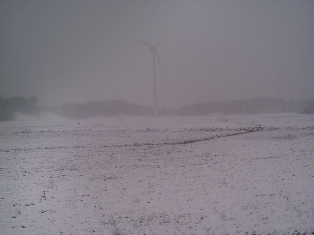
As it turns out, Saturday's storm may have a bit of the hot sauce on it, if you know what I mean. The National Weather Service has a Winter Storm Watch up for Saturday.
Snowfall totals, previously thought to be in the 2-4" range, are now in the 9-12" range. The 9-12" is actually a scaled down version of the 8-15" that the National Weather Service dropped in their morning forecast.
The fun should start around noon tomorrow, and it should snow through midnight, easily. There could be some ocean enhancement along the coast, and some ocean effect flurries could hang around on Sunday morn.
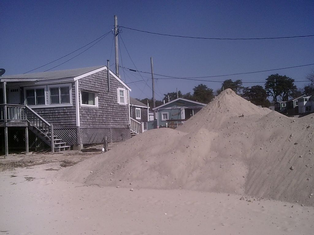
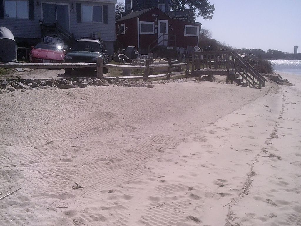
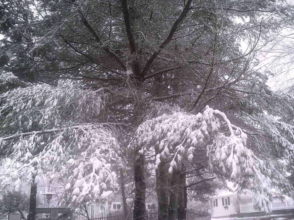
In all, the Canal area of Cape Cod could have a stretch where someone gets 20" of snow this weekend. Bourne, for instance, picked up 5" today, and are forecast to be in the epicenter of tomorrow's entertainment.
I haven't heard an actual weatherman (or Cindy or Shiri) say that coastal flooding is a concern. However, the winds should be whipping up from the NE at a 15-20 mph clip right around when the afternoon high tide hits. The Irish Riviera, the Cape and the Islands could get NE wind gusts up to 40 mph, so keep an eye on the sea, coasties!
We'll pop back in for an update tomorrow if the forecast then is as radically different from today's as today's was from yesterday.

BARNSTABLE:
...WINTER STORM WATCH FROM SATURDAY MORNING THROUGH SUNDAY
MORNING...
* LOCATIONS...INCLUDE COASTAL PLYMOUTH COUNTY...CAPE COD AND THE
ISLANDS.
* ACCUMULATIONS...SNOW ACCUMULATION OF 6 TO 12 INCHES POSSIBLE
SATURDAY AFTERNOON AND EVENING.
* TIMING...SNOW OVERSPREADS THE AREA SATURDAY MORNING AND LIKELY
BECOMING HEAVY AT TIMES SATURDAY AFTERNOON AND EVENING...THEN
TAPERING OFF LATE SATURDAY NIGHT.
* IMPACTS...UNTREATED ROADS WILL BECOME SNOW COVERED AND SLICK.
VISIBILITY WILL BE REDUCED. TRAVEL WILL BECOME HAZARDOUS AS
SNOW BECOMES HEAVY AT TIMES ALONG WITH GUSTY NORTHEAST WINDS
RESULTING IN CONSIDERABLE BLOWING AND DRIFTING WITH NEAR WHITE
OUT CONDITIONS POSSIBLE.
PRECAUTIONARY/PREPAREDNESS ACTIONS...
A WINTER STORM WATCH MEANS THERE IS A POTENTIAL FOR SIGNIFICANT
SNOW...SLEET...OR ICE ACCUMULATIONS THAT MAY IMPACT TRAVEL.
CONTINUE TO MONITOR THE LATEST FORECASTS. BE PREPARED TO MODIFY
TRAVEL PLANS SHOULD WINTER WEATHER DEVELOP.
 |
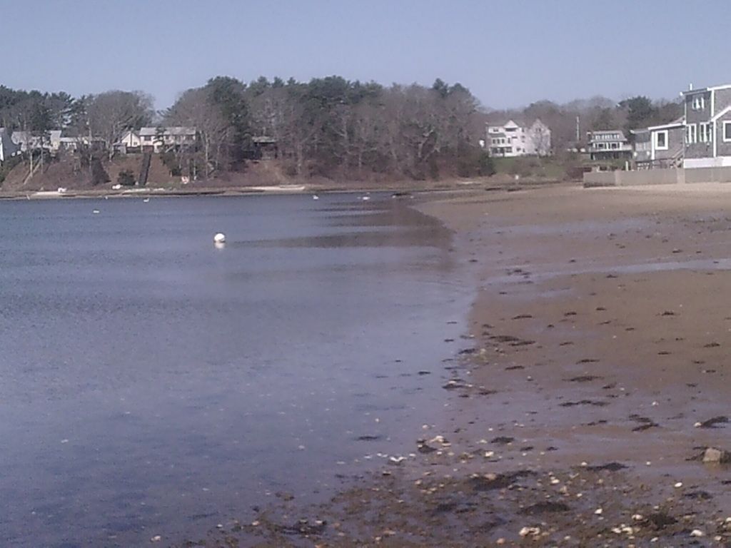
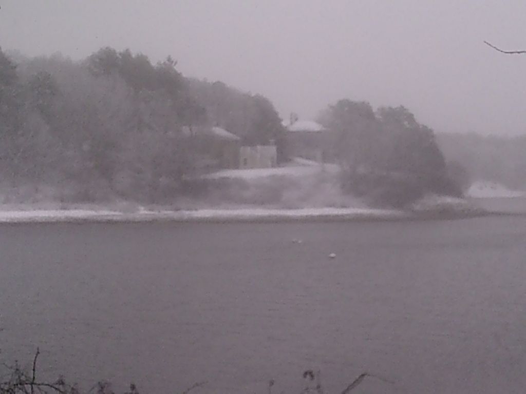
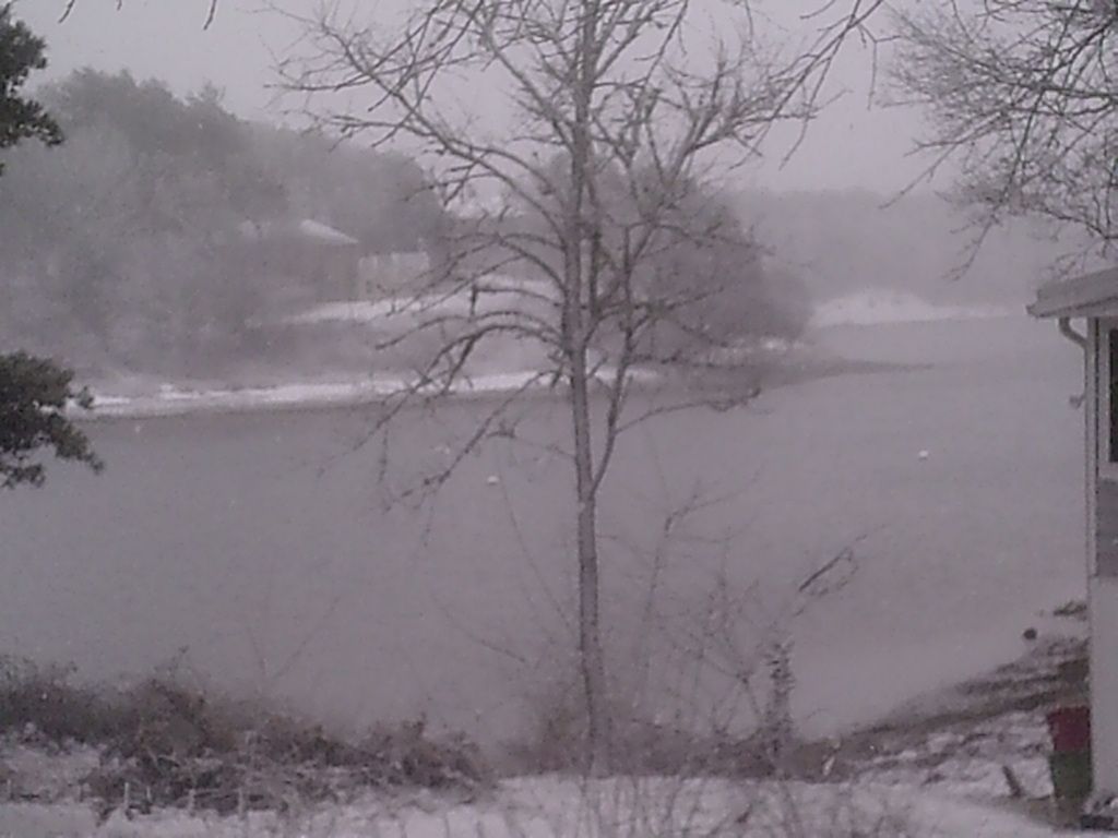
| Buttermilk Bay |
SOUTHERN PLYMOUTH:
...WINTER STORM WATCH FROM SATURDAY MORNING THROUGH LATE SATURDAY
NIGHT...
* LOCATIONS...INCLUDE EASTERN AND INTERIOR SOUTHEASTERN
MASSACHUSETTS...NORTHEASTERN CONNECTICUT...AND ALL OF RHODE
ISLAND.
* ACCUMULATIONS...SNOW ACCUMULATION OF 4 TO 8 INCHES POSSIBLE
SATURDAY AFTERNOON AND EVENING.
* TIMING...SNOW OVERSPREADS THE AREA SATURDAY MORNING AND LIKELY
BECOMING HEAVY AT TIMES SATURDAY AFTERNOON AND EVENING...THEN
TAPERING OFF LATE SATURDAY NIGHT.
* IMPACTS...UNTREATED ROADS WILL BECOME SNOW COVERED AND SLICK.
VISIBILITY WILL BE REDUCED. TRAVEL WILL BECOME HAZARDOUS AS
SNOW BECOMES HEAVY AT TIMES ALONG WITH GUSTY NORTHEAST WINDS
RESULTING IN CONSIDERABLE BLOWING AND DRIFTING WITH NEAR WHITE
OUT CONDITIONS POSSIBLE.
PRECAUTIONARY/PREPAREDNESS ACTIONS...
A WINTER STORM WATCH MEANS THERE IS A POTENTIAL FOR SIGNIFICANT
SNOW...SLEET...OR ICE ACCUMULATIONS THAT MAY IMPACT TRAVEL.
CONTINUE TO MONITOR THE LATEST FORECASTS. BE PREPARED TO MODIFY
TRAVEL PLANS SHOULD WINTER WEATHER DEVELOP.