Hurricane season is upon us, and we are nearing the peak of it.
Now, we're in Massachusetts, and we haven't been hit dead-on by a hurricane since the 1990s. That means that we don't get them often, and it means that we are long overdue.
They aren't a frequent enough event that you should walk around wringing your hands or anything. However, there are certain things that a wise person might do which can eliminate a lot of the hand-wringing.
Ironically, the first step to a peaceful mind is to view some Disaster Porn!
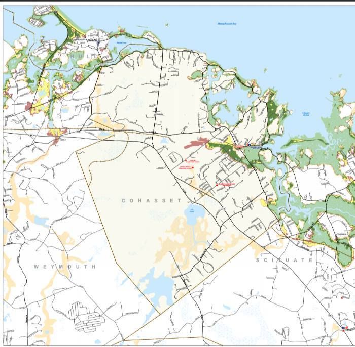
We have two maps for you to look at, and they are specific to your town. One is for Inundation, and the other is for Evacuation. They pertain to a direct-hit hurricane hitting your town at mean high tide.
"Inundation" means "covered in water," although you can call it a Deathflood or a Sea Plague if that gets your people motivated. It refers to which areas in town will be covered with seawater (important distinction, these maps do NOT project freshwater flooding) if you play host to a hurricane.
The map for Inundation (the top one) is color-coded, with light green, dark green, yellow and red. Those colors equate to which areas will get wet in what kind of storm, i.e. Category 1, 2, 3 and 4. Where you see colors changing on the map, that's where the experts think it will require a greater storm to flood that area in seawater.
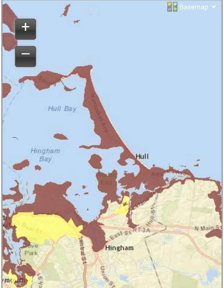
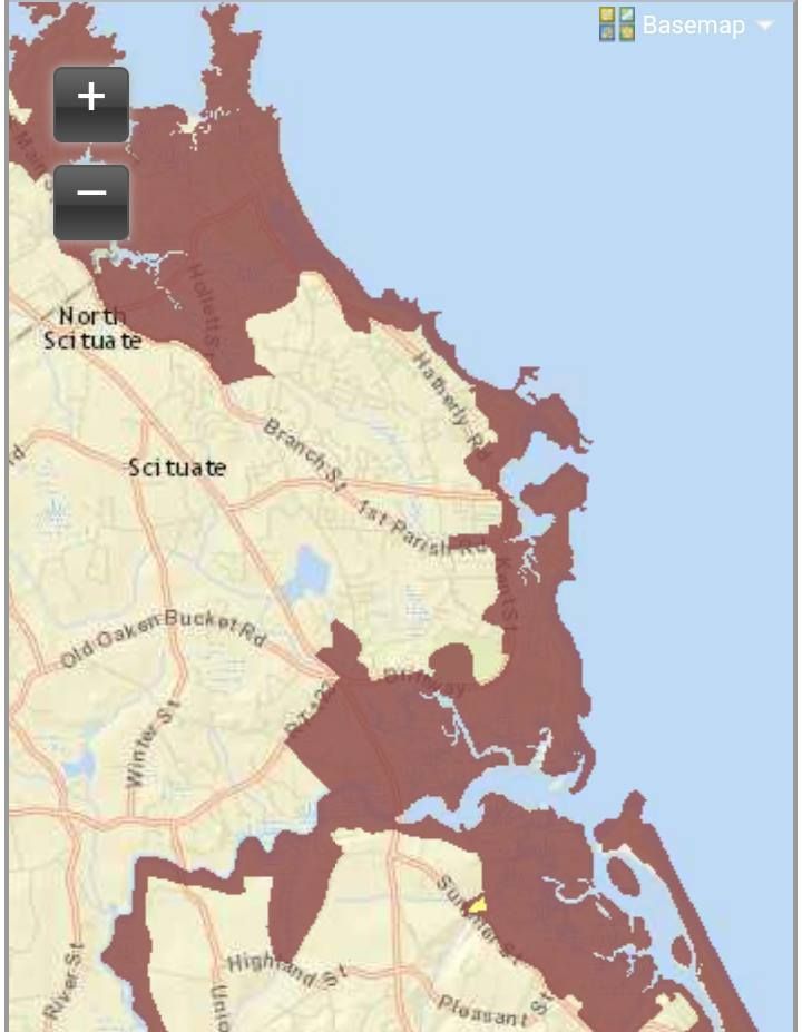
The maps for Evacuation (right and below) are less complicated. If you look at the Inundation map for a moment and then look at the Evacuation map, the logic will eventually make sense. The red areas of the map essentially say "Those People Have To Leave," and the yellow areas say "You Have To Leave, Too."
See how you compare to your neighboring towns with the complete list of Inundation maps and Evacuation maps!
Remember, storm surge is not the only threat from a hurricane. Things like falling branches, freshwater flooding, lightning, flying debris, slick roads, tornadoes, downed power lines, looters and a thousand other variables can mess you up plenty when the barometer drops heavy.
Cohasset doesn't get the storm-love that Scituate gets. Part of this is from the more northern tilt to her beaches. Part of it is the armor of a rocky coastline, as those offshore rocks and ledges can knock the oomph out of a storm wave. A great part of it is Scituate sticking her Scituate Neck out to block Cohasset from the full effects of the east wind.
In the end, Cohasset slides a bit. If you see a rich person's beach house getting washed away, it's more likely to be from Duxbury than Cohasset.
We sort of butchered the part where we cleanly upload the Cohasset evacuation map, but enough of the Scituate and Hull maps will bleed into C City that you can get the general idea. With evacuation, the general rule is When In Doubt, Get Out.
Most of Cohasset's housing is in the east side of town, and rightfully so. This will put many people in the Inundation area, and, shortly before or after, in the Evacuation area. Beach Street and Atlantic Avenue will live up to their names. Joy Place almost certainly will not.
No elitist, Mother Nature will also have herself a few swings at Jerusalem Road. One of the great differences between hurricanes and tornadoes is that the rich suffer disproportionately in coastal storms due to their habit of buying up shoreline property, while tornadoes- using logic which only they understand- prefer trailer parks.
The worst omission from my evacuation maps was the area of Cohasset along the Scituate border, which has a coastal river as the dominant feature. Ocean water loves to surge up coastal rivers during hurricanes, and Cohasset will see this first hand if a major storm arrives. Anything west of Scituate Neck, and anyone along a river, should be evacuated.
You can view Cohasset's evacuation map right here.
As always, know that hurricanes are rare in these parts. They have to plow through either the South Coast or Cape Cod (and then fight through the South Shore) before they even think about Cohassle. By the time they arrive, they will be considerably weakened.
Still, you want to be careful if the weather gets nasty. There are plenty of ways to die in Cohasset during a hurricane, and most people only need one.
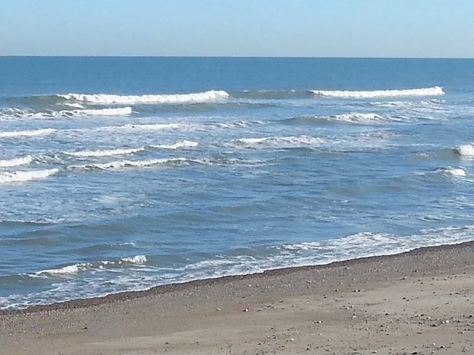
Remember, as we say on Duxbury Beach, the other 364 days of the year look sort of like this!
No comments:
Post a Comment