South Beach, Chatham
"Ahhhhh... nice beach here.... soft sand, warm water, clean air... think I'll take a swim. Oh, look! A seal! What's that shadow swimming next to him?"
Due to the cycle of the sea, seals began hanging out in large numbers off Chatham. After that, it becomes simple algebra.... sharks eat seals, seals hang out at Chatham, so therefore...
A great white shark goes 10-20 feet long and can bite a human being in half. If he's not looking that closely or if he's really hungry, we look kind of like seals in the right (wrong) light.
The last fatal shark attack in the general area was off Mattapoisett in 1936, but sharks are more prevalent now than at any point locals can remember.
To be fair to the sharks, humans are out on their turf. You can't blame one for wanting to try some People Food now and then.
Suicide Alley
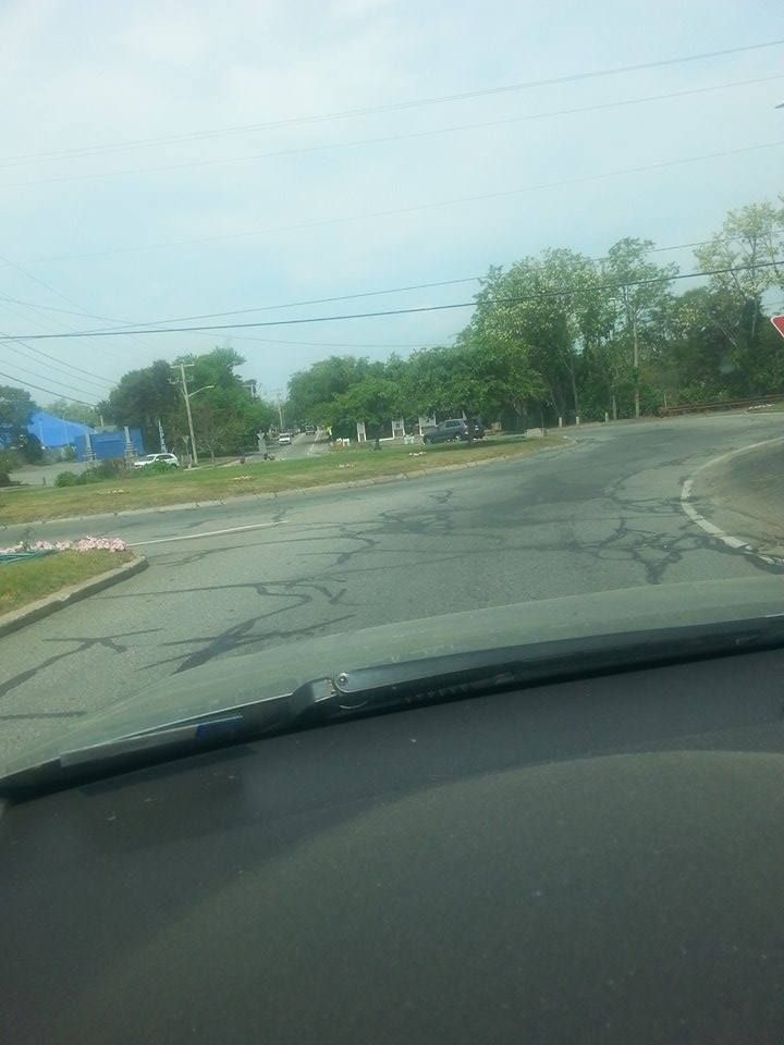
A nasty stretch of Route 6 turns to 2 lanes- one East, one West. You're on a divided highway, but then cars start coming at you from the other lane. It's disconcerting. Suicide Alley runs 13 miles, from exit 9A in Dennis all the way to Orleans.
I don't think any other stretch of road has a worse reputation on Cape Cod, and no other ones have such an ominous nickname.
If someone from Cape Cod says "There was this terrible head-on accident..." someone else from Cape Cod will usually finish with "Suicide Alley?"
If other states have a Suicide Alley, they are not respected by Google. I saw no other Alley mentioned.
Pilgrim Nuclear Power Plant
It's actually a fairly nice part of the state... coastal, beachfront, in the pines. It's not melting down or anything, and any leaks presently are low-key. They have a lot of spent nuclear waste sitting around (in overloaded storage facilities), and they can't find anyone to take it off their hands.
However... the worst case scenario actually makes this the top risk in the general area. Imagine a massive accident there? With almost all winds imaginable, the radioactivity released could blanket Cape Cod.
At that point, Cape Cod becomes Cape Chernobyl. Farming would be viable in Sandwich in about 20,000 years.
Granted, Pilgrim's time is almost up, but it is still a big radioactive elephant in the room for this discussion.
The Wedge, Hyannis
 The low-income area around the Cape Cod mall is notorious for violence.
"The Wedge" aka "The Triangle" aka "Captains Quarters" is a hot spot in Hyannis.
If you wish to buy drugs from someone in a sh*tty house who might be involved in a shooting later, you can do worse than the Hyannis Triangle.
You have a nice mix of poor people, homeless people, hard-drinking people, a lively drug trade and the Cape's only Gangsta scene... albeit one about 3 miles from the Kennedy Compound.
The Wedge is known locally as "Brockton-by-the-sea."
PAVE PAWS, Bourne
 PAVE PAWS is a United States Air Force Space Command radar system operated by Space Wing squadrons for missile warning and space surveillance.... and I pasted that right from Wikipedia, so go to them if you disagree.
People tend to bug out when there's a high powered radar installation nearby, as they fear the government pounding high-powered radar into their heads 24/7/365.
A mountain of studies have been conducted on PAVE PAWS. General studies have dismissed the threat of an elevated cancer risk (when they found elevated cancer rates near the Pilgrim Plant when I was a kid, they blamed it on smokers), although there does seem to be an elevated rate of Ewing's Sarcoma among those who live near the P Double.
Ewing's Sarcoma is a form of bone cancer that generally attacks the hips, ribs, arms and legs. It is most commonly found in male teenagers.
I should add that nothing is proven here, and it is nice to have an early-warning missile detection system in place.
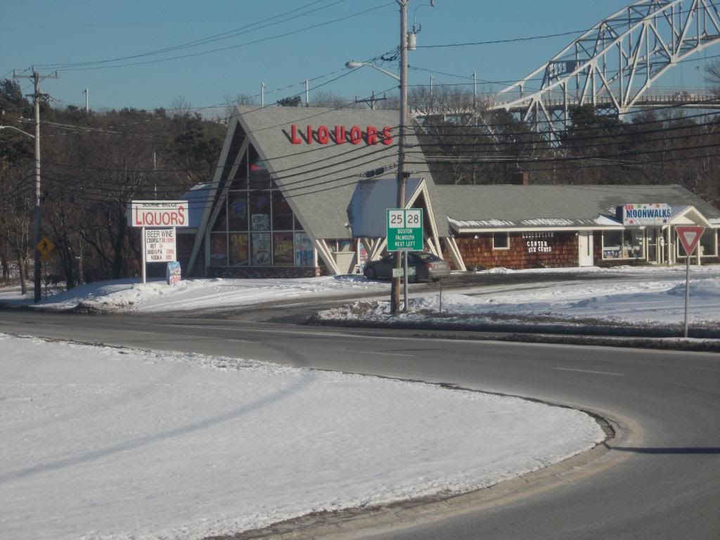
Bourne/Sagamore Bridges, Rotaries

This is actually what I personally fear more than anything else on the Cape. I fear heights, and this is as high as it gets.
Off the top of my head (from a previous article), I know it's a 40 meter drop off the Bourne Bridge. You'd make the fall in 1.6 seconds, and smash into the water (or onto the bike path, although at that height there really isn't that much difference) at about 35 mph.
Even if you don't do a goodbye-cruel-world leap off the bridge (this section of either Route 6 or Route 28 is the real Suicide Alley), you can skid on ice, get hit by a drunk, maybe catch some air... the possibilities are limitless.
The bridges were built in 1935 (ironically, both of these suicide launching platforms were Great Depression projects) or so, and they could probably use an overhaul or ten.
Make it over the Bourne Bridge... you hit a rotary. Rotaries are a dying form of Road Intersection that basically dares the driver to force their way into a traffic circle that looks like a mini-Daytona at times. The reason that the Rotary is dying as an art form is that a rotary is fretty pucking dangerous.
Mitt Romney gets unusual praise from this column for ridding Earth of that Sagamore Bridge rotary.
Pollock Rip Channel, off Chatham
The reason they built the Cape Cod Canal was that it shortened the distance one had to sail from New York to Boston. It allowed sailors to not have to sail around Cape Cod.
The reason that people use Pollock Rip Channel is that it saves a sailor from having to sail around Nantucket.
The reason God made Pollock Rip Channel is that God- for reasons known only to him- wanted the Cape Cod Canal built.
Long known as a ship graveyard, Pollock Rip is an area of shifting sand that is always hungry and only eats boats. As recently as 1950, 8 fishermen died within sight of the lightship pictured here during a gale.
Strong tidal currents flowing in and out of Nantucket Sound meet weather from the open ocean to generate conditions that range from merely disorienting to completely treacherous.
Shangri-La/Onset, Wareham

If Hyannis can truly support the dubious claim that she is "Brockton-by-the-sea," then Onset is "a baby New Bedford." I personally stretch this area out to include the run of crack motels on the Cranberry Highway.
Shootings, stabbings, drug-dealing, armed robberies gone wrong, beat-downs, stick-ups... Wareham has all of the benefits of small-town life.
Throw in a ton of Section 8 folks, a genuinely rotten economy, and BOOM goes the dynamite.
Wareham recently tried Operation Safe Streets, a massive episode of enhanced policing. While results have been mixed, at least they're trying.
Horseshoe Shoals
A ship-smasher of a spot that also was a good reason to build the Cape Cod Canal, Horseshoe Shoals is an area of shallow ocean that helps give Nantucket Sound her nasty reputation.
Horseshoe Shoals is too low to sail safely at low and medium tides (half the day, landlubbers). Horseshoe Shoals doesn't look like it's that far from land, but looks is deceiving, man. You don't want to have to swim to Chatham, even during the Great White Shark off-season.
This was also the proposed setting for the doomed Cape Wind project. A forest of turbines would have only added to the difficulty of sailing through that region.
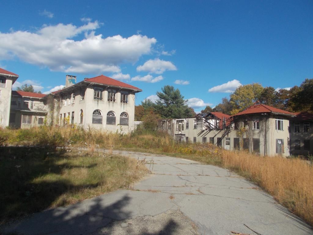
Massachusetts Military Reservation, Bourne
You'd think that, after the thousands of men with machine guns leave, a place wouldn't be dangerous anymore. But the MMR turned out to be the gift that keeps giving.
You don't explode stuff and shoot depleted uranium rounds without screwing up the groundwater, it seems. Explosive constituents leeched through the soil and into the groundwater.
They removed 25,000 tons of soil in hopes of stopping the contamination, but you can have the first (and middle, and last) vegetables grown from that region, thank you.
The general area also holds the distinction of Most Dead Bodies, as they host a military cemetery. I'm working from a shoddy memory, but I think that there may be 40,000 people buried there.

The Irish Riviera
This is sort of a hodge-podge category. Once we truly get over the bridges and out of Barnstable County, the answers quickly become "Taunton," "New Bedford" and "Fall River." We'll try to keep it at least around Cape Cod Bay, and use a sweeping Irish Riviera categorization.
This will be more of an amalgamation of hard-drinking South Shore residents, a growing Great White Shark presence (the last local shark attack on a human wasn't off Cape Cod, it was off of Manomet, in Plymouth), a gaggle of elderly drivers and the teen-slaying, winding, poorly-lit roads.
Certain parts of the South Shore (we're looking at you, Marshfield!) were very bad places to be Loyalist during the Revolution.
Duxbury, not Boston, holds the title of Last Drive-By Shooting Featuring A Prominent Rapper.
The Bridgewater Triangle
We've visited this area for the column a few times. It is also a case where, once we've gone this far inland, we should include places like "Brockton." However, the Bridgewater Triangle is in a class by itself.
For those of you who don't know, the Bridgewater Triangle (a term coined by paramormal poppa Loren Coleman) is a sort of Rankin Cluster of odd and sometimes paranormal happenings. This eerie sandwich is mashed into a lightly-populated section interior southeastern Massachusetts. They represent hard, though.
To my knowledge, they have both of the state's "known" Bigfoot sightings. You know... stuff like that.
The Triangle, which we think should be expanded to Cape Cod anyhow, sneaks onto this list (it is originally from a 2012 Cape Cod TODAY article) over former mainstays Pufferbellies, the Port 'o' Call, and the Woods Hole/Naushon Island current.