Showing posts with label fairhaven. Show all posts

Tuesday, October 11, 2016

South Coast Shellfishing Ban


You might want to skip the clams tonight, player,

The state’s Division of Marine Fisheries has banned the harvesting of shellfish in the west side of Buzzards Bay and in Mount Hope Bay until further notice.

The ban is due to an outbreak of toxic algae. The algae is a form of phytoplankton known as Pseudo Nitzschia. If Pseudo Nitzschia doesn't kill you, it will make you stronger.... and a nihilist.

Pseudo Nitzschia leads to the development of Domoic Acid. Domoic Acid can cause Amnesic Shellfish Poisoning, which gives the person who suffers from it vomiting, cramps, diarrhea and incapacitating headaches followed by confusion, disorientation, permanent loss of short-term memory, and in severe cases, seizures and coma. Other than that.... no probba!

Harvesting or collecting shellfish from the affected areas is now prohibited. Towns with the ban include Bourne, Dartmouth, Fairhaven, Falmouth, Gosnold, Marion, Mattapoisett, New Bedford, Swansea, Wareham and Westport.

I had Amnesic Shellfish Poisoning once, but I forget what happened.

Thursday, July 21, 2016

South Coast Gas Prices, 7/21/16


Life doesn't play fair, and the Man is always trying to get one over on you. There's not much that you can do about it, as the Man is the Man for a reason, and that reason is not gender-exclusive. Sometimes, the best thing that can be done is to lessen the intensity of the beating.

As a man who has both studied military history and who has gone toe-to-toe with a few run-stoppers in my lifetime, I can tell you that many battles are won and lost by Logistics. That's one of those Army words that can mean whatever they need it to, and it has wide-ranging civilian implications. The short definition is getting to the right place at the right time with (or, in today's case, for) the proper supplies.

Logistics broke several of history's fiercest warlords, men such as Napoleon, Hitler, the Crusaders.... America would be British today were it not for the inherent Logistical Flaws involved with running America from England. Russia would be Nazi or French. Japan would be Mongol. All of Korea would be North Korea, even South Korea.

That's what we're here today to help you with. No matter how hard I work today, you're going to pay about double what you were paying for gas at the turn of the century. Sorry about that. However, if you can shave a few shekels off the Damages, it adds up over a year.

We're going town-by-town, giving you the lowest and highest gas prices you can find there. It's pushing noon on Thursday, July 21st. The prices are whatever has been reported since Monday.

We publish this on Thursday so that you can stumble across this article and fill your tank before they jack the price up to eff over the tourists on Friday.

You don't want to get treated like a tourist in your own home town, babe... that gets old fast. The best way to avoid that is to know your town. C’est ma raison d’etre......


NATIONAL AVERAGE: $2.182/gallon of regular unleaded

MASSACHUSETTS AVERAGE: $2.211

BEST PRICE, MASSACHUSETTS: $1.88/gallon, at both Diamond Fuel and Whitman Gas, South Ave, Whitman
WORST PRICE, MASSACHUSETTS: $3.57, Shell, Sparks Avenue, Nantucket

WORST PRICE, USA: $5.88, some station in Orlando, FL

BEST PRICE, USA: average of $1.82 in South Carolina

CURRENT PRICE OF CRUDE, PER BARREL: $45.36

HEADING TO CAPE COD? Check this.


TOWN BY TOWN:

NO PRICES REPORTED: Rochester, Acushnet, Freetown, Dighton, Berkley

WAREHAM
Best: $2.19, Maxi Gas, Cranberry Highway and Speedway, Main Street
Worst: $2.25, Mobil, Cranberry Highway

MARION
Best: $2.19, Cumberland Farms, Wareham Rd
Worst: none reported

MATTAPOISETT
Best: $2.29, Gulf, Fairhaven Road and Mobil, County Road
Worst: none

FAIRHAVEN
Best: $2.06, Valero, Bridge St
Worst: $2.29, Manny's Service Station, Adams St

NEW BEDFORD
Best: $2.04, Joe's Gas, Nash Road
Worst: $2.39, One Stop Gas, Kempton Street

DARTMOUTH
Best: $2.04, Cumberland Farms, State Road
Worst: $2.39, Shell, State Road

WESTPORT
Best: $2.08, Cumby's, State Road
Worst: $2.34, Pine Hill, Pine Hill Road

FALL RIVER
Best: $2.12, Cumberland Farms, Airport Road
Worst: $2.39, Shell, Plymouth Ave

SOMERSET
Best: $2.08, Cumby's Grand Army Highway
Worst: $2.39, Shell, Wilbur Road

SWANSEA
Best : $2.09, Sunoco, Wilbur Ave
Worst: $2.26, Columbus Express, GAR Highway

SEEKONK
Best : $1.97, BJ's, Highland Ave
Worst: $2.21, Valero, Newman Ave

REHOBOTH
Best : $1.99 Exxon, Anawan St.
Worst: $2.00, Cumby's, Anawan St.

TAUNTON
Best : $2.03, Sunny's on Lawton Ave, GeKo's on Somerset Ave, Super Petroleum on Dean St.
Worst: $2.39, Mobil, County St.


Thursday, May 19, 2016

Most Ghetto, Southeastern Massachusetts Edition

New Bedford

Eastern Massachusetts is not without her faults. However, one thing we are not is Ghetto.

Granted, we have Fall River. You can get the Fear nice and easy in Fall River. It's a tough town. Most famous resident? An axe-murderess. Most beloved? Probably the same girl.

Taunton, Brockton and New Beddy are no walk in the park, either... or they're a walk in the park where you get beaten up by a gang of thugs for no reason. After that, there is what skiers call a precipitous drop-off.

Some of the tougher parts of our region aren't THAT tough. I'm not taking about individual citizens. I'm sure there's at least one bad-ass Kennedy (found him!) drawing breath somewhere, and you can get beaten up at the Bia Bistro in Cohasset just as badly as you can get handled at a Fall River Popeye's if you cross the wrong opponent.

Still, if you put on NWA and drive around Brockton, it sort of makes sense as long as your eyes don't go to the rear view mirror at the wrong angle. Try going down King Caesar Road in Duxbury with Bring The Ruckus playing. Your own silliness might strangle you.

There's nothing wrong with this. "Escaping an urban nightmare" is a top reason for moving out to the countryside. "Good visual environment for my Nasty Nas CD" isn't.

Still, if someone establishes a scale for Ghetto, and if the numbers on that scale can be applied to any town anywhere, you can rank towns with it. Lo and behold, that's just what someone did.

They used a simple formula.

Ghetto Bird
Household income levels
High school graduation rates
Number of convenience stores
Number of drug stores
Number of discount stores
Crime
Twitter mentions of #ghetto

It's a flawed formula, but it should be fun to play with.

Here's their Top 15:

Lawrence
Springfield
Chelsea
New_Bedford
Brockton
Holyoke
Lynn
Lowell
Fall River
Worcester
Everett
Revere
Boston
Fitchburg
Wareham
Wareham

Wareham is sort of the WTF on this list, IMHO. I feel badly knowing that she'll be 4th once I start a whittlin' everything North and West of Bristol and Plymouth County out of the master list.

There are definitely some flawed criteria. Twitter references are worrisome. I was a teacher for a while, and I heard kids describe every town on earth as "ghetto." Kids own Twitter, I suppose, and may lack the seasoning to know True Ghetto and why Whitman-Hanson isn't it.

They say that they use "5000 residents" as a cutoff point. Yet, I don't see Duxbury or Bourne or Marshfield or a dozen other towns with populations over 5K. If its a typo and the number is suposed to be 50,000 residents, why is Wareham there?

I was very much looking forward to the bottom of this list, as I wanted to see how the silver-spoon towns fared against each other. It'd be fun to imagine a couple of stockbrokers arguing about whether Cohasset is more thugged out than Sandwich. Alas, the list plays out before we get to the Blue Bloods.

The convenience store angle seems to be ranked right up there with Poverty and Crime, which would to throw a wrench into things. I think that if a Cumby's opens up near the Tedeschi's in your cow town, it shouldn't suddenly make you more Gangsta than someone from Lowell.

Straight Outta Hingham!

However, only my love of Wareham and the lower ranking of Boston makes me really have any issue with the Top 15.

I may get a bit of static from my readers, and I just ask them to remember that I am merely passing along the information on this list. I'm not smart enough to factor that many variables into an equation, even with My Damned Aunt Sally helping. I am smart enough to take a Top 100 list and chop it down to just show the towns in our region, and that's just what we're about to do.
Fall River

Regional Rank  City   Crime Score Original Rank

1) new_bedford 161.7 4
2) brockton 146 5
3) fall_river 190.3 9
4) boston 155.6 13
5) wareham 115.4     14
6) quincy 169.1 26
7) taunton 143.5 33

Well, maybe they have some points after all. Some people might flip Fall River and New Bedford, Most people might see the flaws in not having Boston as the anchorman. Larger towns suffer a bit in the ratings, as the sheer number of people make for lower rates.

Wareham seems to be ranked too highly, but maybe they just try really hard. I worked Boston in mostly to knock the 'Ham down a spot.

Our coverage area showed well, taking 4 of the top 14 spots.

Now, remember when I said "precipitous drop-off" earlier. Here we are!

bridgewater 172.5 39
west_yarmouth 124 41
attleboro 116 42
middleborough_center 154.3 43
fairhaven 117.3 46
barnstable_town 168.1 48
plymouth 149.9 52

I went to college in Bridgewater, and it's more bucolic than ghetto. A great bit of the town is structured around the fact that there is a college in town. The college is not the only entity in town that may be weakening the stock. As someone on a Bridgewater Facebook page said, "The nuthouse down the road lowers our ratings, as does the mental hospital."

Just kidding, I went to BSC. Class of 2000, blogga!

West Yarmouth? How? Ah, 5% margin of error and all.

Plymouth and Barnstable have their rotten parts, but rarely would one fear to stroll through them. They do the service of grouping their poor into certain areas. Bourne is good at that, too. They stash them right by the highway.

Kingston

weymouth_town 152.8 59
middleborough 69.3 60
nantucket 115.8 61
east_falmouth 149.7 64
foxborough 62.9 64
south_yarmouth 105.9 66
kingston 80.3 69

Foxboro is plummeting down the list now that Aaron Hernandez Inc. is within the system. They should sign Greg Hardy.

I wonder if Nantucket is America's most ghetto island? I suppose that Long Island has them beat.

I have no idea what Kingston is doing there, unless the guy who made the list counted Halifax and Plympton's dropouts from Silver Lake as all being from Kingston.

yarmouth 136.5 76
mashpee 115.7 77
somerset 154.1 78
abington 85.9 78
hull 166.3 81
harwich 71.8 83
rockland 112.4 88
mansfield_center 49.4 96

We're really reaching here, and I sort of understand why the list gets cut off where it does.

Conspicuous in their absence....

Sandwich
Marshfield
Chatham
Halifax
Rochester
Scituate
Carver
Hanover
Whitman
Cohasset
Duxbury
Duxbury

Content Reblogged from roadsnacks.net

Saturday, May 7, 2016

Iconic Regional Businesses: South Coast

Be sure to check our SOUTH SHORE and CAPE COD versions of this article. Same into, different businesses.
Life has bounced me from Boston to Quincy to Duxbury to Worcester (back) to Duxbury to Monponsett to Cape Motherlovin' Cod. I've seen them come and go, friend.

One thing that I noticed as I hopped around was that some business chains I got used to in one spot would either not exist in another spot, or some other product in the same field would be dominant in this new region.

I'd also see businesses that started in one spot springing up everywhere. That's always nice to see, especially with something you grew up loving... it sort of affirms your sense of good taste for you.

One other phenomena I'd see is that, while my friends and I might favor one particular local place or another, we'd have a regional default option. To use an example with a powerful business not born of these parts... we both might want a burger. I like Schmuckburgers over on Main Street. You like Ye Olde Slaughtered Cow on the State Road. However, there's always McDonald's.

Massachusetts is a funny place. We like things a certain way. There is an impressive list of otherwise nationally prosperous franchises who flop in Massachusetts. Pizza Hut, Papa John, Little Caesar and Domino's all struggle in Massachusetts, as locals often prefer their town's House Of Pizza. Locals laugh, especially near the coast, if you ask where the Red Lobster is. You might get punched, especially in Italian neighborhoods, if you ask where The Olive Garden is. IHOP and Krispy Kreme may be the biggest names crossed off of the Dunkin' Donut's hit list.

Today, we shall examine a few businesses which have that sort of regional recognition. Some people explore the world. Some people explore regions of it. If you are a regional tourist, look at this as a part of Bucket List. You should be familiar with all of these businesses we are about to discuss, You can get your Local card pulled, otherwise.

Someone who never went to the Cape as a kid might not know the Thompson's Clam Bar jingle, while someone from Harwich might think that Peaceful Meadows is a pet cemetery. View these places as a sort of Mendoza Line. Thompson's never expanded regionally, and Peaceful Meadows might be an ounce of Swagger away from being listed down below.

I broke this list up by Barnstable/Plymouth/Bristol County, although it could very easily be Cape Cod/South Shore/South Coast. I had to stretch up to Mansfield to fatten the South Coast category, but it's still Bristol, babe.

Here we go...


Bristol County

Honey Dew Donuts

Honey Dew and Marylou's make a tough dollar fighting for coffee sales (Honey Dew doubles down by going after the donut market, too) on the home turf of Double D. Honey Dew has fought hard enough to scatter 165 locations around Massachusetts.

They started in Mansfield, are now based in Plainville, and they own interior Bristol County. They have done a very good job of establishing themselves in Boston. Dunkin' kicks the spit out of them, but the people who like Honey Dew better are a loyal and dedicated bunch.

You can survive quite nicely like that, especially if you make a decidedly different donut than Double D does.

No one said it was easy, but Honey Dew is faring well enough for themselves. I want to see them cross paths with Marylou's somewhere, just to see who wins.


Gaspar's

Gaspar's is the largest manufacturer of Portuguese smoked sausage in the USA. Most of this is via their sales of Linguica and Chourico.

They have been whipping out the sausage for 4 generations from their Meat Mecca on Faunce Corner Road in North Dartmouth. They started in 1923.

Linguica is smoked sausage, made from smoke-cured pork, garlic and paprika. It is the go-to meal for any Portuguese person, but white people can shovel it down, too.

In Brazil, it is served with rice and beans. In Massachusetts, it is generally sliced open and grilled.

IMHO, it's the best pizza topping.


Minerva

You could very easily scratch out "Minerva" from the heading, fill in "Rose & Vickie's" or "Venus Cafe" and pretty much tell the exact same story. Someone of Southern European heritage starts a pizza joint, has some luck, wins over the locals and expands somewhere in the region.

Minerva started out in 1969, in Wareham. They carved out a nice niche serving Wareham, Onset and Marion. They expanded west, into Fall River, and east, into the Cedarville section of Plymouth.

Rose & Vickie's has Manomet, Cedarville and Marion. The Venus chain, which numbers all of their franchises other than the original Venus Cafe in Whitman, also has the Venus II in Brant Rock and Venus III in Hanson.

I have friends who eat 7 meals a week easy out of the Cedarville Minerva. They eat enough that their dog, Joe Biden, has grown accustomed to it. He eats enough of it that we re-named him "Joey Takeout."

"Joey Takeout" sort of morphed into a joke among my friends and I, and we work Joey Takeout references into our phone conversations... always with ominous overtones that are funny if you know that Joey Takeout is a ragamuffin Shih-Tzu dog and not the dangerous Sicilian mobster who we make him out to be.

Granted, this is a lot funnier if you have reason to believe that the police are tapping your phone. Somewhere in Plymouth, there is a police file on a non-existent gangster with transcripts like "Joey Takeout gets a bite out of everything coming into the White Cliffs."

Titleist

Golfers know all about Titleist golf balls, which enjoy a fine reputation among golfers and have been spoken for by many of the great ones.

Titleist got started just like every other business did, even yours... a MIT grad missed a putt, blamed the ball, had his dentist friend X-Ray the ball, and then transitioned a rubber-making company into golf ball production factory. They did $1 billion in sales in 2003.

Titleist, originally the Acushnet Process Company or something like that, is now based in Fairhaven. Staying true to their Original Recipe, every single ball made by Titleist is X-Rayed to ensure that the center is balanced.

The cursive "Titleist" logo scrawl on the golf balls belongs to Helen Robinson. She was a secretary for the Acushnet Company who was known for her exquisite penmanship. They gave her a pen and a scrap of paper, she hit it in one take, and her writing has appeared on every single product that the company has produced ever since. Her writing has appeared on more balls than Jasmine St. Claire.

I think that this is Helen Robinson. She looks like she was about to get taken off to see the Wizard.


Trucchi's

William Trucchi opened a supermarket off Tremont Street in Taunton with $500 that he borrowed from his parents. The Great Depression went down shortly after, but Italian grocers don't get Depressed! Especially in Taunton!

They have six stores scattered from Taunton to West Bridgewater to Abington to Middleboro to New Beffuh.

This is no mean feat in this age where a Super Wally opens down the road and every business nearby dies.

Angelo's, A&P, Shaw's, Star, Purity Supreme... supermarkets come and go, change names, and all sorts of stuff. Trucchi's keeps trucking along.


Fishing

The port of New Bedford is America's leading fishing port, with landings valued at $369 million. They have 30 wholesale processing plants, and employ 4400 people.

New Bedford lands 117 million pounds of product, including 50 million pounds of scallops. During the height of the season, 500,000 pounds of scallops move through New Beddy in a day.

Gloucester has the Gorton's Fisherman and the George Clooney movie, but New Bedford has the money. The port, and the economic activity associated with it, haul in $1 billion a year.

New Bedford has whatever you need to get fishing done. New Beige has chandlers, ice houses, welders, net designers, boatyards, gear builders, engineers, maritime attorneys, insurance brokers, settlement houses and every other conceivable shoreside marine support business.

They also have pretty girls hanging around the docks while we were shooting.


Friday, October 9, 2015

A Visit To The Fort Phoenix State Reservation


We took the troops to Fort Phoenix recently.

The Fort Phoenix State Reservation is a small park in Fairhaven. It is on the site of a Revolutionary War fort, and it is armed well enough to chase off Captain Jack Sparrow.

Military purposes aside, it's a lovely spot to spend a day. We did just that a few weeks ago, and it was cool enough that we're writing now to recommend it to you.

For starters, there aren't that many (there are some, especially around here) parks where the expressed purpose of said park is to Kill Englishmen.

You gotta like that!


That's a cannon-eye view of the mouth of the Acushnet River, the wet way into New Bedford. You may have been some big bad Brit admiral, but you weren't getting into New Beffuh without dealing with the hastily-mobilized toothless farmer enjoying this same view two centuries ago.

New Bedford and Fairhaven were very, very important to the colonial era economy, as well as to the colonial era military efforts. They were active ports, bringing and sending out goods that drove the local economy. They could host American warships. They were also excellent privateer bases.

Of course, stuff like that is going to attract the attention of the people you are at war with or in rebellion against. That's why little Fairhaven has a Marne-like history, with multiple military activities.


Now, in an era where you can whip out the ol' nuclear football, push a button and obliterate 500000 people on the other side of the world, a fort with a few cannons aiming out at the ocean isn't really a big deal. Strategically, Fort Phoenix is a zero.

However, it is (and was) of great Tactical value, especially back in the Day. If you have to sail what is essentially a big wooden kid's fort into the Acushnet River, a bunch of cannons aimed at you from a hill overlooking the harbor is what stereotypical Native Americans in old cartoons call Heapum Big Trouble.

Yes, you could pretty much dictate what would and wouldn't be coming in and out of New Betty by boat if you could put a few cannons on a hill over the harbor. "A cannon on a hill" is pretty much why the English fled Boston not that long after winning The Battle Of Bunker Hill.

The only way to neutralize those cannon was to hack down a forest grove, build a big floating platform for 45 cannons, sail it halfway around the world and send it headlong into direct kill-or-be-killed conflict with a bunch of whiskey-crazed English hinterland rebels. The English felt strongly enough about the Acushnet River that they took more than one crack at just that course of action.


Fort Phoenix is 2-1 in fights with the British, but the L was a big one.

The fort, nameless to me at least, was put up in some form before the start of the American Revolution... perhaps even to fight the French, I'm not sure. True to the hardcore nature of the South Coast, the fort was involved in several fights almost immediately.

Not a lot of people know this, or at least not a lot when compared to those who can tell you about Bunker Hill, but the first naval engagements of the American Revolution went down off of the South Coast.

The British sloop Falcon appeared off of the New England coastline shortly after the entertainment at Lexington/Concord. Both sides were scrambling to get men and supplies up to Boston for the imminent Big Squabble. The Falcon was able to bag two 'Murican ships in one day. One (the Champion) was full of supplies from Maryland intended for the rebels, and they kept that.

The other, a now-nameless sloop from Nantucket, was given a skeleton crew and some scant firearms. It was then sent to Dartmouth (Fairhaven was still Dartmouth at the time), where the Falcon had heard that a smuggler's vessel was docked. They seized that vessel, and went off to find the Falcon. They anchored off Martha's Vineyard for some reason, about 3 miles apart.

The South Coast was having none of that, and assembled a militia of 30 men carrying every gun they could get their hands on. They jammed this militia onto the whaling sloop Success, armed it with two swivel guns, and set off to kick Brit Butt.

Finding the English off of Martha's Vineyard, they immediately seized the Dartmouth ship without firing a shot. They then aimed both vessels at the British sailors on board the Nantucket ship, and closed before the Brits could flee. Shots were fired, and three Limey Poofters dropped.

The Americans then boarded the English ship. English military dudes were among the toughest on the planet. You could dunk them in Boston Harbor in April, march them on soaking foot to Lexington and Concord, and still go 1-1 against every Patriot in Massachusetts. Perhaps the only tougher people on the seas that day were South Coast whalers... especially if they had 30:11 odds.

They took the ships back to the yet-to-be-named Fort Phoenix, and the South Coast had a W in the books against the Empire On Which The Sun Never Sets.


The English had a measure of revenge in 1778. A series of operations known as Grey's Raid resulted in 4000 Brits burning New Bedford in a blaze that could be seen in Newport, Rhode Island. They then destroyed the cannon in Fairhaven before being run off by militia. The fort was rebuilt, hence the rising-from-the-ashes "Phoenix" moniker

The British took another crack at the Acushnet River during the War of 1812. The troublesome British raider HMS Nimrod made a run at New Bedford during action where they also attacked Wareham.

This story has a couple of different endings, one of which looks suspiciously like that of the Army of Two story where a pair of Scituate lighthouse keeper daughters used a fife and drum behind a dune to fool the British into thinking militia were gathering. In this one, it's a bugle or something.

Others say it was a gathering militia and fire from Fort Phoenix which made the British take a pass on tangling with New Betty. There is even a case to be made for the British feinting at Fairhaven to put the militia there, too far away to race the ships to Wareham that were the goal of the English visit. If that was the plan, it worked like a charm, because the British beat ?ham down like she stole something.

The burning of New Bedford's docks in 1778 was done under the orders of Sir Charles Grey. His kid, the 2nd Earl Charles Grey, is who Earl Grey's Tea is named for... something New Bedford and Fairhaven people should keep in mind when making tea purchases. Some people forget, but not Cranberry County Mother***ing Magazine.


Things were pretty peaceful since then, although the cannons are still pointing to sea.

Now, it's a nice little park on a beautiful bay, perfect for grabbing a bench and reading a book. There is a "Charlie Don't Surf" aspect to this park, as the Brits were misusing the park before we got it and put pretty girls with books under the trees there on a nice late-summer morning.

A day spent watching the boats come in is a lot more enjoyable if you don't have to worry about those ships disgorging 4000 British marines to burn New Bedford. A distinctly American primordial urge did jump into me once or twice when I pondered using the cannon against barges and rich people boats that were sailing by, but it passed.

In fact, I had a wonderfully peaceful morning at Fort Phoenix.


Fort Phoenix also has some of the best views that any baller or tennis player could hope for. I'm capable of putting both a full-court fast break pass or an overenthusiastic tennis serve into Buzzards Bay if I'm not careful.

And One should have their games here, the setting would make for some great camera shots. A bunch of 7 foot basketball players running on the shore around may also deter any British invasions that don't have Led Zeppelin in them.

You get a sense that whichever player runs this court can shoot really well in the wind. I can also sense some "losing team has to dive into Buzzards Bay" bets getting made here now and then. That's what I'd bet.

In case you think I was making up that part about using the cannon on yachts....


"Nearer my God to thee," especially up in that tower.


It's just like Washington Street in Duxbury, except that if you take a left at the end of Washington Street, you don't end up in New Bedford.


What the Brits were after... OK, a 1778 version of that, but still....

Monday, August 31, 2015

Fairhaven Hurricane Primer: Inundation And Evacuation


Ladies and gentleman, friends, Romans, countrymen, and children of all ages.... we proudly present to you the Fairhaven Hurricane Primer!

We're here today to tell you what parts of town will flood, how bad of a storm would be required to flood them out, and where the authorities will be evacuating people. This article will make you expert in all that stuff.

To be 100% cool, you want to either A) draw upon your knowledge, gained from you being in Fairhaven for a signature storm like Hurricane Bob, Hurricane Donna or even- if you're 0ld/old- the Great New England Hurricane of 1938, or B) talk to an old-timer who lives near you and has all that Bob/Carol knowledge down in his memory.

Local knowledge is immeasurably important. I study weather, I grew up on a Massachusetts beach, I live on a beach off Buzzards Bay now, I date a Fairhaven girl and visit her home beach once a season or so... and I still don't know Fairhaven in my bones. I have just this morning found out that I can't say the word "Fairhaven" properly. I say "Fair-haven," which audibly makes two words of it. My girlfriend, who grew up on West Island, says "Fa'haven," which is somehow less than one word.

I have a lot of scientific knowledge, and I have some informative maps to share... but in the end, you don't want to finalize your plans before you talk to a wise old local.


This map is what they (FEMA, MEMA, NOAA and NHC) call a Hurricane Inundation Map. It projects where the storm surge will go, and what intensity of storm would be needed to reach certain areas. They are based on the aptly-titled SLOSH model of inundation forecasting.

Storm surge, as you know, is the water pushed ashore as a big storm hits. It is the big killer in hurricanes, and even in history. The worst disaster related to lives lost in US history wasn't terrorists with planes or an earthquake, it was the storm surge associated with the 1900 Galveston hurricane.

OK, I think Antietam has it beat, but I digress...

Storm surge can also be called a Deathflood or Liquid Misery if that gets your people moving quicker. Either way, it's what those colors on the map above are showing. The differences in color depict where a more powerful storm (power = Saffir-Simpson hurricane intensity scale) would be required to inundate an area.

The maps depict a direct hit from a hurricane at mean high tide. They do not and I repeat NOT account for freshwater flooding, river swelling, sewers overflowing, and 7 inches of rain.

Your colors:

Light green = Category 1 storm. Hurricane Gloria would be a good example of a Cat 1. If you worked your way over to Fairhaven from the South Shore, the Halloween Gale would be a good example of a strong Category 1.

Darker green = Category 2. Hurricane Bob was a moderate Category 2 hurricane ("moderate" and "Category 2 hurricane" are tough words to string together, but that's how they roll at the NWS) upon landfall in Rhode Island.

Yellow = Category 3. Only 5 storms of this intensity have struck New England since the Other Man arrived in the 1600s. The most recent was Hurricane Carol in 1954.

Red = Category 4. We've had one storm of that intensity, the Great Colonial Hurricane of 1635.

Flesh = 100 year FEMA estimates. I presume this is the "100 year storm" that you hear about, and we haven't had one in modern (read: "white guy") history. "Flesh" is my non-artist word for that color, and is drawn from my Crayola days, before Crayola realized that black kids liked to color, too. It may be "apricot" or "off-whitey" these days, I'm not 100% sure.

Inundation-wise, Fairhaven is indeed A Tale Of Two Cities (and a few island/peninsula things). You have the area by the Acushnet River. This would normally be a death zone, but they built a hurricane barrier (seen, from what I hope you notice is the Fairhaven side, in the picture at the beginning of the article) at the river's mouth. That protects everything behind it from anything other than a biblical, build-an-ark style flood. We may be wrong, but SLOSH says that only a Cat. 4 storm can get past it.

A storm in the Cat. 4 range wouldn't flood a large % of Fairhaven, but it would flood the area where most everyone in Fairhaven lives. That means we're evacuating about 15,000 souls. We'll get to that in a minute.

The other part of Fairhaven, which is a nice way of saying "the part without the 20 foot stone wall built in front of it," doesn't have it so good. They'll be hurtin' for certain in smaller storms. You can check your own neighborhood (or laugh at the suckers in other neighborhoods) by viewing the links I'll plop down somewhere in this article.

A pretty bad place to be in a storm would be West Island and/or anything off Sconticut Neck Road. The swampy parts go under right away, and an intense storm would start taking houses. A storm of Bob size floods almost 75-90% of these land masses.

If you live on West Island, you want to do this:

- Go find a topographical map, or zoom in really close on the FEMA map.

- Figure out who lives on the highest ground.

- Befriend that person, and butter them up like a biscuit. You want him saying "Come on in" when you show up at his house in a tempest.

- Have an evacuation plan that not only includes "get to the town-designated shelter," but also "get to High Ground Guy's house." If the only road out gets cut off, he may be your best bet.

A few other things stand out when you look at this map.

For starters, a storm of Bob's strength would cross over Route 6 right about where the Stop 'n' Shop is. A storm of Katrina strength would put most of Route 195 by the Acushnet River underwater. Weaker storms would flood Route 6 and Route 195 in Mattapoisett, in case if you decided to think outside of the box and flee East.

West Island is actually East of everything. I'd ask Jessica about this, but she's at work. Keep in mind, I thought that Fairhaven was where Popeye lived until I opened the Wikipedia. Either way, be off of West Island if a storm comes... even a small one.

If you live in the White section of town (hurricane maps are egalitarian, and I have discovered that "white" sections of town are often poorer, while "colored" sections of the map are usually inhabited by wealthier, less swarthy waterfront home-having people), you might think you're off the hook. Remember that these maps only show storm surge, not freshwater or river flooding... and also remember that trees tend to blow over during storms.

In an Andrew-style storm, every single road leading out of Fairhaven would be compromised to some extent. Even the side streets will be under. That means you can't get out, and it means that help can't get in.

You want to be Ghost before then, which leads to our next map:


This is an Evacuation Map. It is what the authorities will use to decide who has to stay and who has to go. You don't HAVE to go, but you also don't want to rely on the cop you were just reading the Constitution to risking his neck to pull you out of the maelstrom.

The map is easier to read than the Inundation map. On this map, Red means "they have to leave," and yellow means "you have to leave, too."

This is the cell phone version of the map, you can zoom in for much better detail using the map on MEMA's page.

Route 240 looks like a good evacuation route, even though you'd eventually get pinned in a bad enough storm.

If you live in Fairhaven or if you plan to vacation there, you should have at least the bones of an evacuation plan in place. Fairhaven, unlike other towns we cover, stands in line for a possible direct hit from a hurricane that approaches New England.

We want you alive. We want you alive for selfish reasons, as- if you are reading this and may return- you are our source of revenue. We want you alive for professional reasons, i.e. "If they listened to us, they'd be alive." We also want you alive for homeboy reasons, as one of the founders of this website is a Fairhaven girl, and we consider Fairhaven to be our spiritual South Coast road office. We also want you alive for regular, kind person reasons.


Hurricane Inundation Maps

Evacuation Maps

Tuesday, July 28, 2015

That Ol' South Coast, She Don't Play Clean....

New Beffuh
Before anyone starts hating The Kid about this, know that I'm a resident of Buzzards Bay. I'm from the South Coast.

Sure, Bee Bay is part of Barnstable County. Yes, I know that we have clam shacks, summer rentals, Cape traffic, and that life gets Mighty Different after Columbus Day.

It doesn't matter, though. Buzzards Bay is the extreme eastern end of the South Coast. I wouldn't admit it if I weren't so sure it was true.

I wanted to lead off with this because we're going to rough up the South Coast a bit today, and I wanted everyone reading this to know it was being done with Love. I believe in the South Coast enough to move here. When I say things like "the armpit of Massachusetts," know that it's just one South Coast brother kidding another one.

The Real Cape just produced a scathing analysis of certain trends in their article "Wareham Coming In Hot As The 11th Worst Place To Live In Massachusetts." They use the wiggle room all Gateway area writers use to work ?ham into a Cape Cod article. I used to do it all the time on Cape Cod 2Day. "It's the Gateway," as a Celtics cheerleader from Wareham once told me.

I'm not doubting Wareham's spot in the top 11, which is headed by New Bedford and also includes Fall River, Gardner, North Adams, Fitchburg, Ware, Brockton, Southbridge, Taunton and Athol. They crunched a bunch of numbers like crime rate, school quality, things to do, transportation, culture, etc.... and then they done disparaged dat ol' South Coast!!

Here are my quick thoughts on each non-South Coast town.

Gardener... part of the FAG corridor down Route 2 (with Athol and Fitchburg), this is an industrial mill town in the post-mill era. Yes, I know it's "Gardner," I just like to tweak noses now and then. Gardner is the home of the World's Largest Chair, in case you're arguing about that at the bar as you read this.

North Adams... Nor'Addy is the smallest city in Massachusetts. Following a theme you'll see repeatedly in this list, North Adams used to be great when the mills were working. The mills aren't working now, however...

Fitchburg... Even though it's a rotten mill town in decline, I'd keep Son Of A Fitch off the list because A) they make UTZ potato chips there, B) it figures prominently in both the Harry Potter canon and Return To Peyton Place, and C) there is no third reason. Worst "picture of downtown (insert town here)" picture on all of Wikipedia, too. Kowloon, China is second. The Walled City ranked first before the city was demolished.

Ware... With 9800 souls in the middle of nowhere, they must have had to work hard to not call it "Where?" Care to guess if the 1850s mills are still prosperous? There are several maps of the region that depict the town name merely as a question mark (?).

Brockton... Club Homeboy should be higher on the list. You could put on a money shirt and walk through Ware unmolested. Just wearing a shirt is offensive in some parts of Brockton. It is very funny that only 15 miles stand between Bee Rock City and tony Duxbury (which it used to be a part of, Myles Standish essentially founded Brockton), but that's about how it works. Brockton is the only representative of the South Shore on the list, but it is less South Shore and more an entity unto itself. Currently ranks 41st among American cities in violent crime, which isn't bad for a town that is historically West Duxbury.

Taunton... Some discussion went down before we removed Brockton from the group of South Coast towns we'll discuss in length later in the article, even though Brockton isn't South Coast. Taunton is also off Wikipedia's list, even though it's just a Berkley away from Fall River.

Southbridge... Just across the state line from Woodstock,CT.... known as "Honest Town," The former Eye Of Massachusetts and her optical factories faded into insignificance when the Mexicans or Chinese started making glasses cheaper. Worry you not, they still have a sizable population of displaced Puerto Rican and Laotian factory workers hanging around town.

Athol.... I drove through this town on my way towards visiting girls at Franklin Pierce College in NH. It looks like the kind of place you'd see a Yeti. Athol may not deserve her spot on The Real Cape's list, as the material they are working with gives Athol over 50,000 people when, in fact, the town holds 16,000. My favorite thing about Athol was a WBCN/Billy West skit about Peter Falk visiting various New England towns. It made no sense at all at first when he went to Athol... "Wow, look at the firehouse... Hey, they have a post office!" The joke was in the last line of the skit... "This week... Falk, In Athol."

Say it aloud a few times, lisp if you have to....


The fun part here is that the South Coast has a pretty good grasp on some of the top spots, outpacing numerous North Cambridges and Lowells. Lynn, Lynn, the city of sin... didn't/couldn't get past the Sketchy Sketchy South Coast. Little San Juan Holyoke didn't make the list. No Chelsea, no Murderpan, no Dot, no Gloxbury, no Winter Hill, no Mishawum.

Does the South Coast really merit a 1-2 punch on the top spot, and a few other towns wedged into the Top 11? How did it come to this?

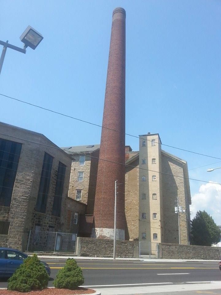
Fall River, Wareham, Brockton, Taunton and New Bedford have a coastal version of the problems that Gardner and Fitchburg have. They were built to support industries that are no longer profitable in the manner they were run back in the proverbial Day.

Fall River was all about textiles, especially whatever Print Cloth is. When the states who grow the cotton realized they could build the textile machines in their own states and cut out the middleman, Fall River went into decline. There's also the small problem of the town's most famous resident being America's only axe murderer with an eponymous nursery rhyme.
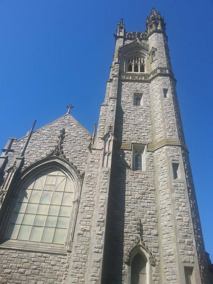
Fall River

Fall River also got a cut out of the New York City garment trade, but that fell victim to globalization and Kathy Lee Gifford having skirts stitched together in Asian sweat shops... which is the same thing, but I digress...

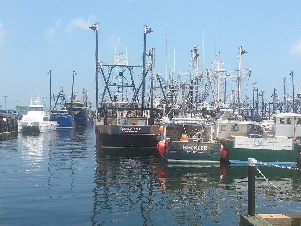
Brockton has a similar story, but the industry was shoemaking. New Bedford was, at various times, whaling or textiles. Taunton was iron and silver. Wareham, to my knowledge, was Tourism.

In each case, a dominant industry failed, and the town went into economic decline. With that, you get the crime, the shoddy schools, the crumbling infrastructure, mass (Mass?) unemployment and, in the end, Exodus.

There's not much race to it. Blacks, Hispanics, white folk... they all trend towards poverty when the factory closes. Economic decline is color-blind, although she does like to keep a nice mix.

Depending on if you include Brockton in the mix (and it is very much like New Bedford, and very much not like her neighboring towns of the Bridgewaters, Avon, Whitman and so forth), the South Coast holds 5 of the top 11 spots, including the two 2 spots.

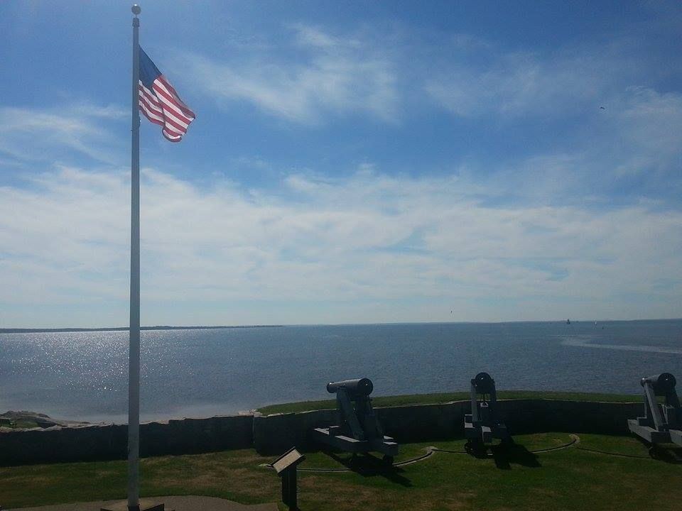
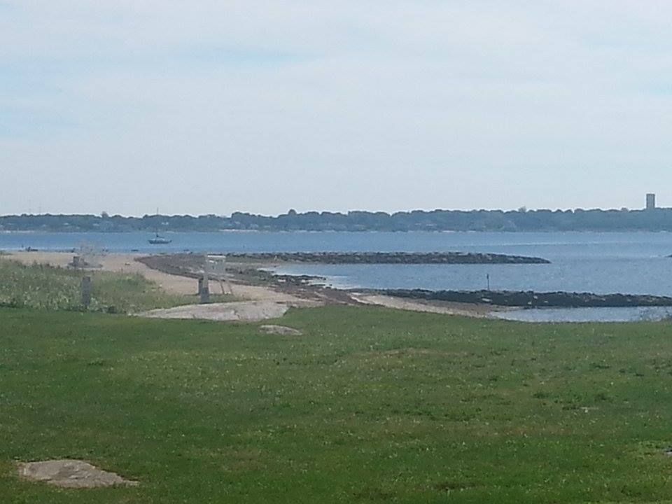
Wareham is a unique case here, although her story is just a different take on the same Mill Town concept.

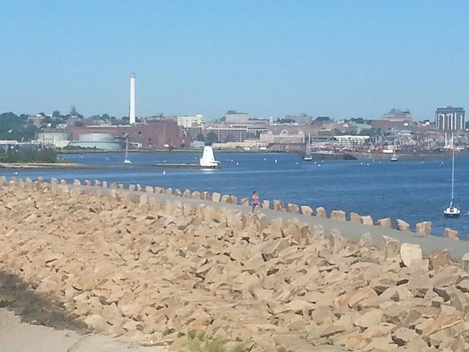
Wareham, and Buzzards Bay (town), used to be the hosts of the only road that led to the Bourne Bridge. They lined that road with gas stations, clam shacks, mini golf, ice cream, antique shops, restaurants, package stores and anything else that could suck money out of a tourist. The towns fattened on this trade, and Tourism is primarily why mainland Wareham and Buzzards Bay are often considered to be part of Cape Cod.

Then, they extended Route 25 to the Bourne Bridge in 1987. There was no need for someone going to Cape Cod to have to slog through Wareham and Buzzards Bay. The tourist dollars flowed onto Cape Cod without the Gateway getting their cut. Even the road itself killed jobs (and, more importantly, industry), as the highway rambled through the state's best Cranberry growing region.

Once the clam shacks closed, the waitresses had no money to spend at the supermarket, which also closed. The supermarket clerks had no money to spend on mini-golf, so the mini-golf folded. A plaza with a Wal-Mart and a Staples stemmed the bleeding for a while, but they both moved into more prosperous West Wareham as soon as the land was zoned.

Pretty soon, all that was left of the Tourism trade was the traffic gridlock as people drove around Wareham and Buzzards Bay. As the villages spiraled into decline, anyone with money left moved away. Businesses closed, and no new ones moved in.

Soon enough, only a hard-working criminal element kept them in the news at all, and Wareham slipped towards ?ham.

Enough of the South Coast abuse. Let's all kick back and learn something, shall we?

South Coast Trivia

Wikipedia scores the South Coast as:
Fall River

- While I may be stretching it to include Buzzards Bay (village) in the South Coast, other people feel that the Rhode Island towns of Tiverton and Little (Straight Outta) Compton are sort of honorary members of the South Coast.

- Taunton gets left out. No love for the Triple S of Swansea, Seekonk and Somerset, either. I assume they are grouped with more northern towns like Attleboro and, uhm, whatever is next to Attleboro.

- The term "South Coast" has been traced to weatherman Todd Gross, who came up with the term to differentiate between Southern Plymouth/Bristol County and the South Shore. Why the South Shore, which faces East, is called the South Shore is beyond me. Either way, we have a South Shore and a South Coast now. People in the region actually got angry when the New Bedford Standard-Times began to use the term.

- The adoption of the South Coast moniker sort of displaced the formerly-used Greater New Bedford designation. A media blitz accompanied the adoption of the term, pointing out that the Sow Co had "the Cape's climate, better infrastructure, and cheaper land prices."

- "South Coast" and "Metro West" are relatively recent terms, invented by local media. "MetroWest" displaced "Middlesex" among the locals, again with some difficulty. It was invented by the guy who used to own the former Middlesex Daily News.

- I'd guess (and might be wrong) that "Cape Cod" and "Plymouth County" are the two longest-standing regional names.

- The South Coast is an odd mix of larger and smaller towns. You can light a smoke in downtown New Bedford, the worst place in the state, and pitch it out your car window 8 minutes later in rural, bucolic, backwater Acushnet.
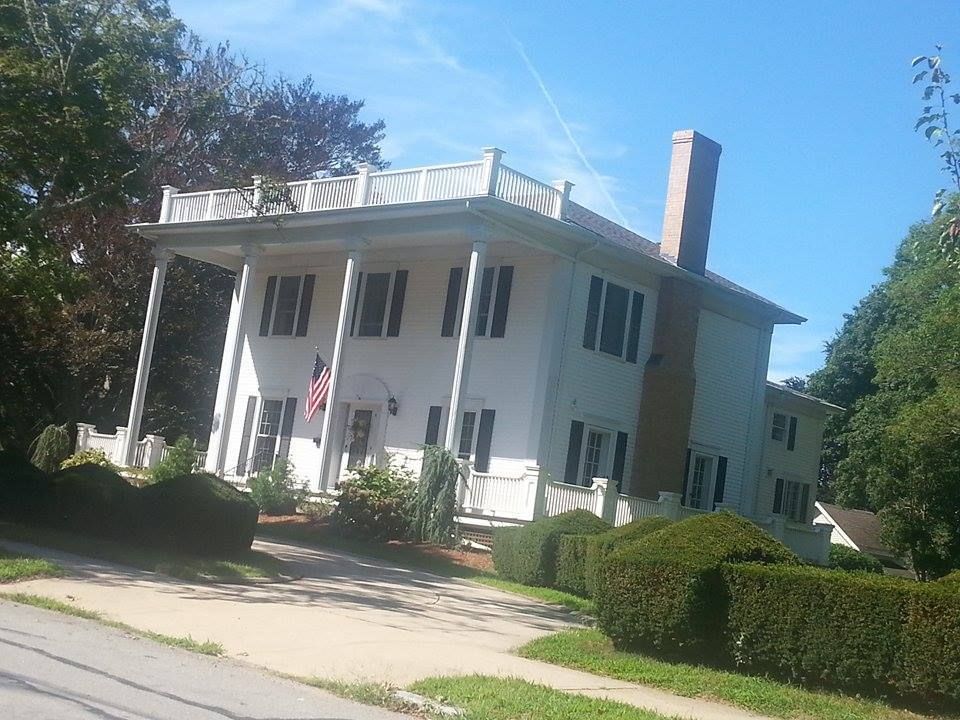
Mattapoisett
- We have discussed the Irish Riviera at length in this column, but the South Coast is very much a Little Lisbon, a Baby Brazil. The corridor running between Providence, Fall River and New Bedford has the largest concentration of Portuguese-Americans in America.

- Massachusetts leads America with a Portagee population of 392,000. MetroBoston has 192K of that number, and the South Coast has a lesser-but-major share of the remainder. Massachusetts is 6.2 Portuguese, while Rhode Island leads America at 9.7%.

- Fall River is 37% Portuguese, and 8% Cape Verdean.

- New Bedford is over 33% Portuguese, 10% Puerto Rican, and almost 9% Cape Verdean.

- Wareham is 87% white, with an unknown number of Portagee. I did see a figure of 9.29% somewhere. They represent hard enough to host the Cape Verdean Festival every year.

- The source that coughed up 9.29% for Wareham ascribed Fall River over 43%, and New Bedford over 36%.

- Taunton isn't really South Coast (it lays a bit North of the area proper, and is the seat of Bristol County), but we consider it to be a fringe SC area, with a stronger grip than Brockton. If you consider it South Coast, I'm cool with that. If you think it stands distinct, I can see your side, too.

- The northern South Coast touches upon the southern base of the Bridgewater Triangle.

- New Bedford, trying hard to take the crime title away from Fall River, has no criminal to match Lizzie Borden (who, I might add, was not convicted). They compete by volume. The New Bedford area had her own serial killer in the late 1980s. You couldn't get out of your car to take a whizz on Routes 195 or 140 without stumbling onto some prostitute that he had killed and dumped there. He was never caught. New Bedford is also where Big Dan's Tavern was.

Hey, she's tough... she's a harbor chick
Most Famous Citizens:

Fall River: Lizzie Borden, no contest

Wareham: Geena Davis, also winning in a rout. #2 is Pebbles from JAM-N 94.5.

Westport: Pixies singer Frank Black edges out abolitionist Paul Cuffee, ESPN girl Wendy Nix and Hillary from the The Fresh Prince of Bel Air. Westport has a disproportionate talent-per-population ratio for a small-town backwater, although Marion reigns the roost in that regard, as you will see in a moment.

Rochester: Joseph Bates (founded Seventh Day Adventist Church)

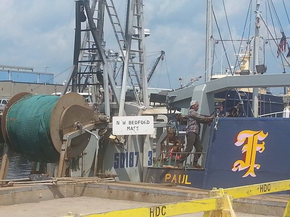
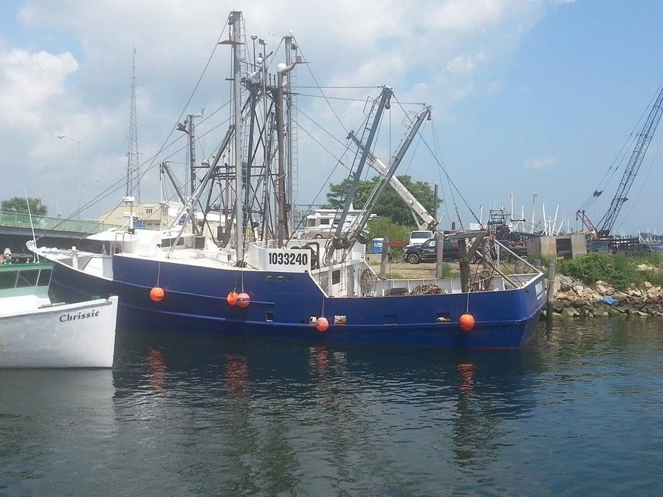
New Bedford: Frederick Douglass

Mattapoisett: Oliver Wendell Holmes lived there is some capacity

Marion: Claiming 4000 souls, this town has been a temporary home to FDR, Grover Cleveland, Admiral Byrd, Dom DiMaggio and Geraldo Rivera. It is also the port of Benjamin Briggs, last Master of the doomed ship Mary Celeste. I'm leaving out several other semi-famous people.

Freetown: Former Miss Massachusetts and current NECN newsie Jackie Bruno.

Fairhaven: A good three way race between Gil Santos, Joshua Slocum and Christopher Reeve (had a sailboat moored in Fairhaven).

Dartmouth: Choose between died-there General Phillip Sheridan and summer person Tea Leoni.

Acushnet: Doesn't have a notable resident list on Wikipedia, but Herman Melville once sailed on a whaler named Acushnet. That's close enough.